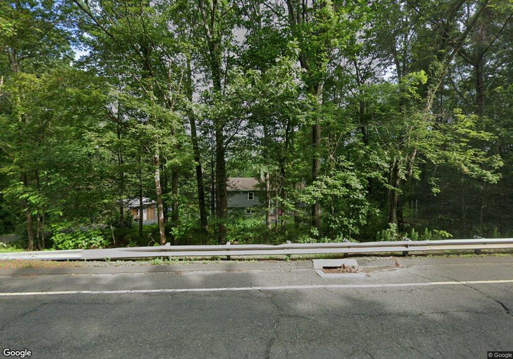
110 Gavitt Rd Barkhamsted, CT 06063
Estimated Value: $258,000 - $422,000
5
Beds
3
Baths
1,310
Sq Ft
$284/Sq Ft
Est. Value
About This Home
This home is located at 110 Gavitt Rd, Barkhamsted, CT 06063 and is currently estimated at $371,983, approximately $283 per square foot. 110 Gavitt Rd is a home located in Litchfield County with nearby schools including Barkhamsted Elementary School, Northwestern Regional Middle School, and Northwestern Regional High School.
Ownership History
Date
Name
Owned For
Owner Type
Purchase Details
Closed on
Dec 17, 2019
Sold by
Antonnucci Barbara and Antonnucci Donald
Bought by
Gilbert Jamie L and Gilbert Timothy
Current Estimated Value
Home Financials for this Owner
Home Financials are based on the most recent Mortgage that was taken out on this home.
Original Mortgage
$194,000
Outstanding Balance
$171,039
Interest Rate
3.6%
Mortgage Type
Purchase Money Mortgage
Estimated Equity
$200,944
Purchase Details
Closed on
Jul 13, 1998
Sold by
Jakubowski-Line Carole
Bought by
Antonucci Donald M and Chamberlain Robert N
Create a Home Valuation Report for This Property
The Home Valuation Report is an in-depth analysis detailing your home's value as well as a comparison with similar homes in the area
Home Values in the Area
Average Home Value in this Area
Purchase History
| Date | Buyer | Sale Price | Title Company |
|---|---|---|---|
| Gilbert Jamie L | $200,000 | None Available | |
| Antonucci Donald M | $27,500 | -- |
Source: Public Records
Mortgage History
| Date | Status | Borrower | Loan Amount |
|---|---|---|---|
| Open | Gilbert Jamie L | $194,000 |
Source: Public Records
Tax History Compared to Growth
Tax History
| Year | Tax Paid | Tax Assessment Tax Assessment Total Assessment is a certain percentage of the fair market value that is determined by local assessors to be the total taxable value of land and additions on the property. | Land | Improvement |
|---|---|---|---|---|
| 2025 | $5,991 | $236,150 | $44,100 | $192,050 |
| 2024 | $6,045 | $236,150 | $44,100 | $192,050 |
| 2023 | $4,872 | $143,560 | $43,370 | $100,190 |
| 2022 | $4,802 | $143,560 | $43,370 | $100,190 |
| 2021 | $4,768 | $143,560 | $43,370 | $100,190 |
| 2020 | $4,656 | $143,560 | $43,370 | $100,190 |
| 2019 | $4,684 | $143,560 | $43,370 | $100,190 |
| 2018 | $4,759 | $150,990 | $41,310 | $109,680 |
| 2017 | $4,681 | $150,990 | $41,310 | $109,680 |
| 2016 | $4,533 | $150,990 | $41,310 | $109,680 |
| 2015 | $3,895 | $132,590 | $41,310 | $91,280 |
| 2014 | $3,845 | $132,590 | $41,310 | $91,280 |
Source: Public Records
Map
Nearby Homes
- 20 Edgerton Rd
- 21 Legeyt Rd
- 68 Case St
- 86 Case St
- 33 N Canton Rd
- 36 Briarwood Rd
- 1 Woodridge Dr
- 175 Case St
- 27 Ridge Rd
- 715 Cherry Brook Rd
- 45 Barkhamsted Rd
- 256 South Rd
- 199 Broad Hill Rd
- 19 Ratlum Mountain Rd
- 44 Strong Rd
- 7 Hartland Blvd
- 7R Stonewall Dr
- 537 Cherry Brook Rd
- 4 Stonewall Dr
- 35 Rustle Meadow Ln