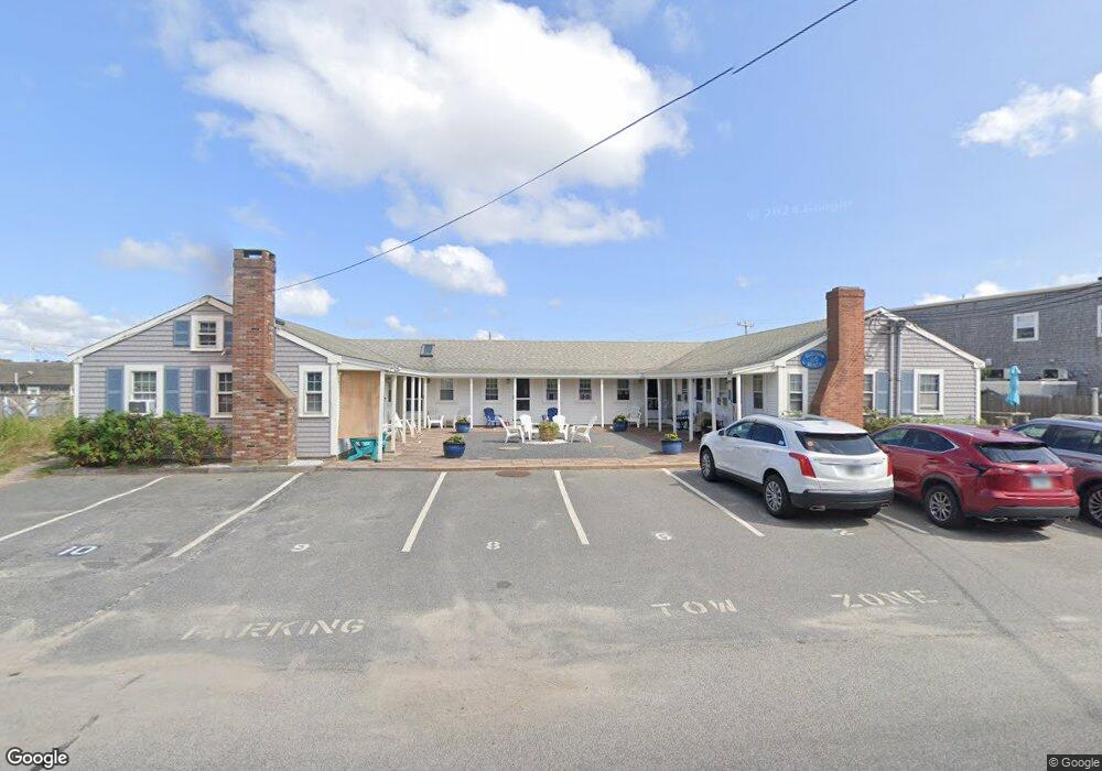
110 Glendon Rd Unit 2 Dennis Port, MA 02639
Dennis Port NeighborhoodEstimated Value: $196,000 - $296,000
1
Bed
1
Bath
280
Sq Ft
$846/Sq Ft
Est. Value
About This Home
This home is located at 110 Glendon Rd Unit 2, Dennis Port, MA 02639 and is currently estimated at $236,825, approximately $845 per square foot. 110 Glendon Rd Unit 2 is a home located in Barnstable County with nearby schools including Dennis-Yarmouth Regional High School and St. Pius X. School.
Ownership History
Date
Name
Owned For
Owner Type
Purchase Details
Closed on
Jan 30, 2015
Sold by
Howe James E and Howe Susan P
Bought by
Thomas Robin J
Current Estimated Value
Purchase Details
Closed on
Nov 24, 1997
Sold by
Blood Cathleen D and Bardos Jeffrey S
Bought by
Howe James E and Howe Susan P
Home Financials for this Owner
Home Financials are based on the most recent Mortgage that was taken out on this home.
Original Mortgage
$23,200
Interest Rate
7.17%
Mortgage Type
Purchase Money Mortgage
Create a Home Valuation Report for This Property
The Home Valuation Report is an in-depth analysis detailing your home's value as well as a comparison with similar homes in the area
Home Values in the Area
Average Home Value in this Area
Purchase History
| Date | Buyer | Sale Price | Title Company |
|---|---|---|---|
| Thomas Robin J | $96,000 | -- | |
| Howe James E | $29,000 | -- | |
| Howe James E | $29,000 | -- | |
| Howe James E | $29,000 | -- |
Source: Public Records
Mortgage History
| Date | Status | Borrower | Loan Amount |
|---|---|---|---|
| Previous Owner | Howe James E | $103,000 | |
| Previous Owner | Howe James E | $23,200 |
Source: Public Records
Tax History Compared to Growth
Tax History
| Year | Tax Paid | Tax Assessment Tax Assessment Total Assessment is a certain percentage of the fair market value that is determined by local assessors to be the total taxable value of land and additions on the property. | Land | Improvement |
|---|---|---|---|---|
| 2025 | $908 | $209,600 | $0 | $209,600 |
| 2024 | $860 | $196,000 | $0 | $196,000 |
| 2023 | $759 | $162,500 | $0 | $162,500 |
| 2022 | $738 | $131,800 | $0 | $131,800 |
| 2021 | $716 | $118,700 | $0 | $118,700 |
| 2020 | $553 | $90,700 | $0 | $90,700 |
| 2019 | $539 | $87,400 | $0 | $87,400 |
| 2018 | $528 | $83,300 | $0 | $83,300 |
| 2017 | $512 | $83,300 | $0 | $83,300 |
| 2016 | $607 | $93,000 | $0 | $93,000 |
| 2015 | $595 | $93,000 | $0 | $93,000 |
| 2014 | $591 | $93,000 | $0 | $93,000 |
Source: Public Records
Map
Nearby Homes
- 154 Old Wharf Rd Unit 26
- 154 Old Wharf Rd Unit 14
- 120 Old Wharf Rd Unit 11
- 64 Beaten Rd
- 112 Old Wharf Rd Unit E4
- 112 Old Wharf Rd Unit E1
- 217 Old Wharf Rd Unit 64
- 37 Ocean Dr Unit 2
- 241 Old Wharf Rd Unit 82
- 241 Old Wharf Rd Unit 127
- 241 Old Wharf Rd Unit 90
- 262 Old Wharf Rd Unit 67
- 262 Old Wharf Rd Unit 5
- 262 Old Wharf Rd Unit 5
- 262 Old Wharf Rd Unit 20
- 262 Old Wharf Rd Unit 87
- 37 Beach Hills Rd
- 37-A Beach Hills Rd
- 31 Easy St
- 80 Michaels Ave
- 110 Glendon Rd Unit 3
- 110 Glendon Rd Unit 110
- 110 Glendon Rd Unit 4
- 110 Glendon Rd Unit 6
- 110 Glendon Rd Unit 1
- 110 Glendon Rd Unit 7
- 110 Glendon Rd Unit 5
- 110 Glendon Rd Unit 8
- 110 Glendon Rd Unit 9
- 106 Glendon Rd
- 104 Glendon Rd
- 170 Old Wharf Rd Unit 3
- 170 Old Wharf Rd Unit 2
- 170 Old Wharf Rd Unit 1
- 170 Old Wharf Rd Unit s 1 & 2
- 170 Old Wharf Rd
- 6 Glendon Rd
- 5 Glendon Rd
- 101 Glendon Rd
- 101 Glendon Rd Unit 101