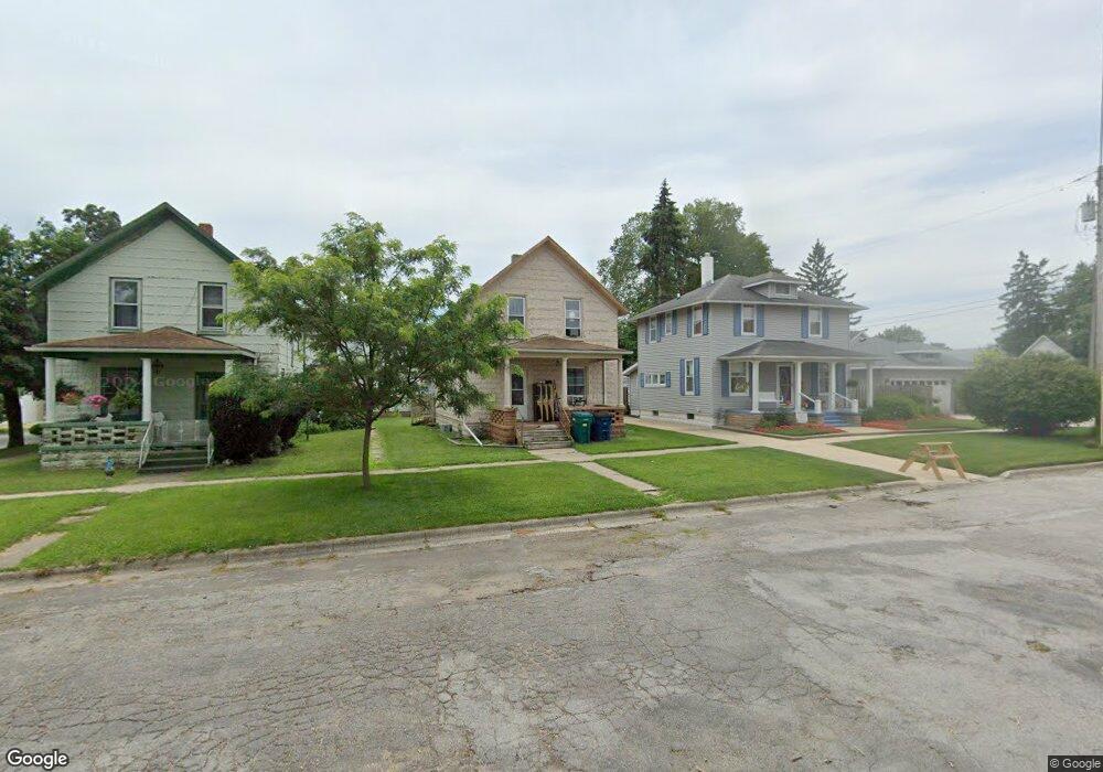
110 Grove St Unit 2 La Porte, IN 46350
Estimated Value: $133,000 - $171,000
2
Beds
2
Baths
1,320
Sq Ft
$116/Sq Ft
Est. Value
About This Home
This home is located at 110 Grove St Unit 2, La Porte, IN 46350 and is currently estimated at $152,863, approximately $115 per square foot. 110 Grove St Unit 2 is a home located in LaPorte County with nearby schools including Carver Elementary School, Hailmann Elementary School, and La Porte High School.
Ownership History
Date
Name
Owned For
Owner Type
Purchase Details
Closed on
Feb 17, 2023
Sold by
Vul Investments Llc
Bought by
Gronkiewicz Mark and Gronkiewicz Karin
Current Estimated Value
Purchase Details
Closed on
Jan 4, 2023
Sold by
Kozlowski Kim A
Bought by
Vul Investments Llc
Purchase Details
Closed on
Jul 1, 2013
Sold by
Federal Home Loan Mortgage Corporation
Bought by
Kozlowski Kim A and Kozlowski Keith A
Purchase Details
Closed on
May 8, 2013
Sold by
Mollenhauer Michaell F
Bought by
Beougher Craig E
Purchase Details
Closed on
Mar 29, 2013
Sold by
Euler Steven H
Bought by
Euler Dawn M
Create a Home Valuation Report for This Property
The Home Valuation Report is an in-depth analysis detailing your home's value as well as a comparison with similar homes in the area
Home Values in the Area
Average Home Value in this Area
Purchase History
| Date | Buyer | Sale Price | Title Company |
|---|---|---|---|
| Gronkiewicz Mark | -- | Chicago Title | |
| Vul Investments Llc | $78,000 | Chicago Title | |
| Kozlowski Kim A | -- | None Available | |
| Beougher Craig E | $33,400 | -- | |
| Federal Home Loan Mortgage Corporation | $33,352 | None Available | |
| Euler Dawn M | -- | None Available |
Source: Public Records
Tax History Compared to Growth
Tax History
| Year | Tax Paid | Tax Assessment Tax Assessment Total Assessment is a certain percentage of the fair market value that is determined by local assessors to be the total taxable value of land and additions on the property. | Land | Improvement |
|---|---|---|---|---|
| 2024 | $1,347 | $63,200 | $10,200 | $53,000 |
| 2022 | $872 | $43,600 | $5,600 | $38,000 |
| 2021 | $876 | $43,800 | $5,800 | $38,000 |
| 2020 | $876 | $43,800 | $8,900 | $34,900 |
| 2019 | $770 | $36,100 | $7,300 | $28,800 |
| 2018 | $804 | $37,800 | $7,400 | $30,400 |
| 2017 | $648 | $38,000 | $7,300 | $30,700 |
| 2016 | $790 | $37,100 | $8,500 | $28,600 |
| 2014 | $1,346 | $67,300 | $8,500 | $58,800 |
| 2013 | $1,384 | $66,700 | $8,500 | $58,200 |
Source: Public Records
Map
Nearby Homes
- 107 Lincolnway
- 202 Jefferson Ave
- 0 Brighton St Unit NRA542345
- 706 Detroit St
- 906 Linwood Ave
- 503 Grove St
- 413 Jefferson Ave
- 506 Pulaski St
- 161 W Mcclung Rd
- 403 Rose St
- 206 Ohio St
- 330 Virginia Ave
- 414 Allen St
- 910 Scott St
- 208 Norton St
- 205 Lawrence St
- 222 Roosevelt St
- 717 E Lincolnway
- 602 Plain St
- 1207 Michigan Ave