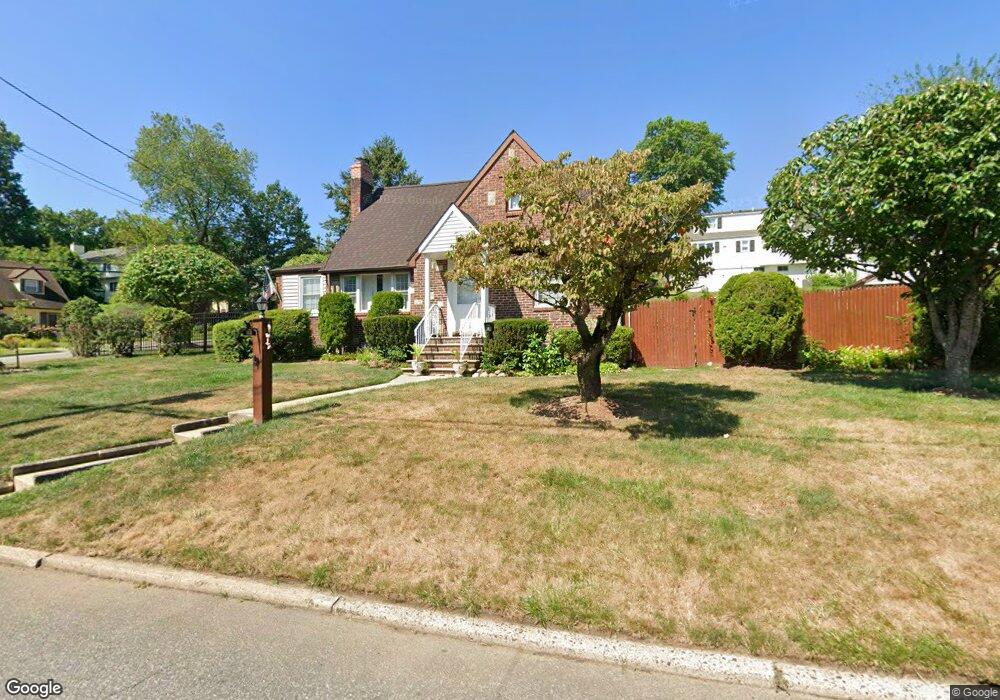
110 Hasbrouck Ave Emerson, NJ 07630
Estimated Value: $588,000 - $696,000
4
Beds
2
Baths
1,791
Sq Ft
$357/Sq Ft
Est. Value
About This Home
This home is located at 110 Hasbrouck Ave, Emerson, NJ 07630 and is currently estimated at $639,330, approximately $356 per square foot. 110 Hasbrouck Ave is a home located in Bergen County with nearby schools including Memorial Elementary School, Patrick M. Villano Elementary School, and Emerson Jr Sr High School.
Ownership History
Date
Name
Owned For
Owner Type
Purchase Details
Closed on
Nov 13, 2020
Sold by
Malatesta Michael and Malatesta Rose
Bought by
Gonzalez Ramirez Marcos
Current Estimated Value
Home Financials for this Owner
Home Financials are based on the most recent Mortgage that was taken out on this home.
Original Mortgage
$308,000
Interest Rate
2.67%
Mortgage Type
New Conventional
Create a Home Valuation Report for This Property
The Home Valuation Report is an in-depth analysis detailing your home's value as well as a comparison with similar homes in the area
Home Values in the Area
Average Home Value in this Area
Purchase History
| Date | Buyer | Sale Price | Title Company |
|---|---|---|---|
| Gonzalez Ramirez Marcos | $385,000 | Two River Title Llc |
Source: Public Records
Mortgage History
| Date | Status | Borrower | Loan Amount |
|---|---|---|---|
| Previous Owner | Gonzalez Ramirez Marcos | $308,000 |
Source: Public Records
Tax History Compared to Growth
Tax History
| Year | Tax Paid | Tax Assessment Tax Assessment Total Assessment is a certain percentage of the fair market value that is determined by local assessors to be the total taxable value of land and additions on the property. | Land | Improvement |
|---|---|---|---|---|
| 2025 | $12,617 | $382,000 | $217,600 | $164,400 |
| 2024 | $12,285 | $382,000 | $217,600 | $164,400 |
| 2023 | $11,567 | $382,000 | $217,600 | $164,400 |
| 2022 | $11,567 | $382,000 | $217,600 | $164,400 |
| 2021 | $11,092 | $382,000 | $217,600 | $164,400 |
| 2020 | $11,120 | $382,000 | $217,600 | $164,400 |
| 2019 | $10,868 | $382,000 | $217,600 | $164,400 |
| 2018 | $10,379 | $382,000 | $217,600 | $164,400 |
| 2017 | $10,169 | $382,000 | $217,600 | $164,400 |
| 2016 | $9,947 | $382,000 | $217,600 | $164,400 |
| 2015 | $9,741 | $382,000 | $217,600 | $164,400 |
| 2014 | $9,535 | $382,000 | $217,600 | $164,400 |
Source: Public Records
Map
Nearby Homes
- 30 Birch St
- 212 Hasbrouck Ave
- 56 Jefferson Ave
- 154 Linwood Ave
- 92 Locust Ave
- 75 Demarest Ave
- 1 High St
- 15 Spruce Ave
- 87 Palisade Ave
- 140 Vivian Ave
- 150 Highland Ave
- 138 Palisade Ave
- 25 Crest St Unit 206
- 812 Golf Place
- 27 Sullivan Dr
- 20 Lewis Place
- 219 Randolph Ave
- 34 Lewis Place
- 131 4th Ave
- 138 Pine Dr
- 203 Wortendyke Ave
- 207 Wortendyke Ave
- 109 Hasbrouck Ave
- 124 Hasbrouck Ave
- 53 Lincoln Blvd
- 191 Wortendyke Ave
- 26 Hillside Ave
- 40 Lincoln Blvd
- 121 Hasbrouck Ave
- 97 Hasbrouck Ave
- 78 Lincoln Blvd
- 92 Hasbrouck Ave
- 132 Hasbrouck Ave
- 125 Hasbrouck Ave
- 32 Lincoln Blvd
- 185 Wortendyke Ave
- 38 Hillside Ave Unit 17E
- 131 Hasbrouck Ave
- 91 Hasbrouck Ave
- 77 Lozier Ave