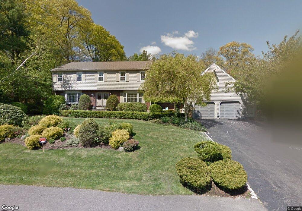
110 Herbert Rd Braintree, MA 02184
North Braintree NeighborhoodEstimated Value: $1,308,673 - $1,502,000
4
Beds
4
Baths
3,604
Sq Ft
$391/Sq Ft
Est. Value
About This Home
This home is located at 110 Herbert Rd, Braintree, MA 02184 and is currently estimated at $1,408,668, approximately $390 per square foot. 110 Herbert Rd is a home located in Norfolk County with nearby schools including Braintree High School, Step Ahead Kindergarten, and Meeting House Montessori School.
Ownership History
Date
Name
Owned For
Owner Type
Purchase Details
Closed on
Jun 19, 1998
Sold by
Jenney James A and Jenney Christine M
Bought by
Evers William T and Evers Patricia M
Current Estimated Value
Home Financials for this Owner
Home Financials are based on the most recent Mortgage that was taken out on this home.
Original Mortgage
$168,000
Outstanding Balance
$33,726
Interest Rate
7.09%
Mortgage Type
Purchase Money Mortgage
Estimated Equity
$1,374,942
Create a Home Valuation Report for This Property
The Home Valuation Report is an in-depth analysis detailing your home's value as well as a comparison with similar homes in the area
Home Values in the Area
Average Home Value in this Area
Purchase History
| Date | Buyer | Sale Price | Title Company |
|---|---|---|---|
| Evers William T | $405,000 | -- | |
| Evers William T | $405,000 | -- |
Source: Public Records
Mortgage History
| Date | Status | Borrower | Loan Amount |
|---|---|---|---|
| Open | Evers William T | $168,000 | |
| Closed | Evers William T | $168,000 |
Source: Public Records
Tax History
| Year | Tax Paid | Tax Assessment Tax Assessment Total Assessment is a certain percentage of the fair market value that is determined by local assessors to be the total taxable value of land and additions on the property. | Land | Improvement |
|---|---|---|---|---|
| 2025 | $12,399 | $1,242,400 | $475,100 | $767,300 |
| 2024 | $11,306 | $1,192,600 | $437,600 | $755,000 |
| 2023 | $10,892 | $1,116,000 | $400,100 | $715,900 |
| 2022 | $10,607 | $1,066,000 | $350,100 | $715,900 |
| 2021 | $9,881 | $993,100 | $316,400 | $676,700 |
| 2020 | $9,508 | $964,300 | $287,600 | $676,700 |
| 2019 | $9,161 | $907,900 | $287,600 | $620,300 |
| 2018 | $8,921 | $846,400 | $250,100 | $596,300 |
| 2017 | $8,834 | $822,500 | $250,100 | $572,400 |
| 2016 | $8,400 | $765,000 | $225,100 | $539,900 |
| 2015 | $8,440 | $762,400 | $220,100 | $542,300 |
| 2014 | $8,073 | $706,900 | $197,600 | $509,300 |
Source: Public Records
Map
Nearby Homes
- 6 Oak St
- 491 Washington St Unit 1
- 15 Calvin St
- 5 Woodsum Dr Unit 12
- 47 Addison St
- 18 Royal Lake Dr Unit 3
- 29 Joseph Rd
- 6 Franklin St
- 30 Church St Unit 4
- 50 Cleveland Ave
- 36 Chestnut Ave
- 29 Saint Michael Rd
- 145 Hancock St Unit 307
- 145 Hancock St Unit 309
- 255 River St
- 6 Lunar Ave
- 9 Independence Ave Unit 307
- 17 White Rd
- 418 John Mahar Hwy Unit 408
- 80 Lake St
- 118 Herbert Rd
- 102 Herbert Rd
- 34 Herbert Rd
- 42 Herbert Rd
- 26 Herbert Rd
- 18 Herbert Rd
- 50 Herbert Rd
- 126 Herbert Rd
- 94 Herbert Rd
- 10 Herbert Rd
- 125 Herbert Rd
- 19 Herbert Rd
- 41 Herbert Rd
- 29 Herbert Rd
- 51 Herbert Rd
- 58 Herbert Rd
- 17 Herbert Rd
- 173 Weston Ave
- 173 Weston Ave
- 173 Weston Ave Unit single fam
Your Personal Tour Guide
Ask me questions while you tour the home.