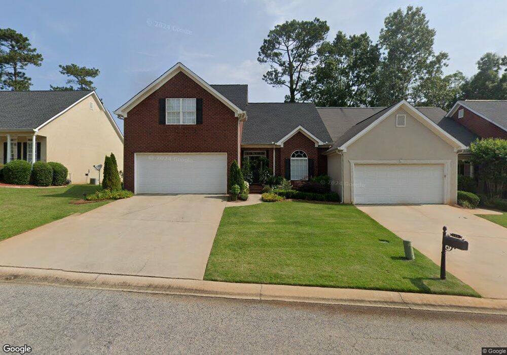
110 High Ridge Dr Macon, GA 31220
Barrington Hall NeighborhoodEstimated Value: $266,938 - $325,000
3
Beds
3
Baths
2,305
Sq Ft
$133/Sq Ft
Est. Value
About This Home
This home is located at 110 High Ridge Dr, Macon, GA 31220 and is currently estimated at $306,485, approximately $132 per square foot. 110 High Ridge Dr is a home located in Bibb County with nearby schools including Carter Elementary School, Howard Middle School, and Howard High School.
Ownership History
Date
Name
Owned For
Owner Type
Purchase Details
Closed on
Dec 20, 2018
Sold by
Harper Matthew C and Harper Wendy L
Bought by
Britt And Camp Llc
Current Estimated Value
Purchase Details
Closed on
Jun 21, 2005
Sold by
Harper Matthew C and Lujan Wendy M
Bought by
Harper Wendy L and Harper Matthew C
Home Financials for this Owner
Home Financials are based on the most recent Mortgage that was taken out on this home.
Original Mortgage
$152,600
Interest Rate
5.25%
Mortgage Type
Adjustable Rate Mortgage/ARM
Purchase Details
Closed on
Apr 25, 2003
Create a Home Valuation Report for This Property
The Home Valuation Report is an in-depth analysis detailing your home's value as well as a comparison with similar homes in the area
Home Values in the Area
Average Home Value in this Area
Purchase History
| Date | Buyer | Sale Price | Title Company |
|---|---|---|---|
| Britt And Camp Llc | $158,000 | None Available | |
| Harper Wendy L | -- | None Available | |
| -- | $188,500 | -- |
Source: Public Records
Mortgage History
| Date | Status | Borrower | Loan Amount |
|---|---|---|---|
| Previous Owner | Harper Wendy L | $152,600 |
Source: Public Records
Tax History Compared to Growth
Tax History
| Year | Tax Paid | Tax Assessment Tax Assessment Total Assessment is a certain percentage of the fair market value that is determined by local assessors to be the total taxable value of land and additions on the property. | Land | Improvement |
|---|---|---|---|---|
| 2025 | $2,589 | $105,337 | $14,000 | $91,337 |
| 2024 | $2,464 | $97,034 | $14,000 | $83,034 |
| 2023 | $2,464 | $97,034 | $14,000 | $83,034 |
| 2022 | $2,147 | $73,500 | $13,500 | $60,000 |
| 2021 | $2,772 | $72,942 | $13,500 | $59,442 |
| 2020 | $2,832 | $72,942 | $13,500 | $59,442 |
| 2019 | $2,474 | $72,942 | $13,500 | $59,442 |
| 2018 | $4,553 | $72,942 | $13,500 | $59,442 |
| 2017 | $2,733 | $72,942 | $13,500 | $59,442 |
| 2016 | $2,938 | $84,931 | $15,000 | $69,931 |
| 2015 | $4,159 | $84,931 | $15,000 | $69,931 |
| 2014 | $4,165 | $84,931 | $15,000 | $69,931 |
Source: Public Records
Map
Nearby Homes
- 116 Hampton Way Unit LOT 5
- 167 Barrington Hall Dr
- 120 Hampton Way Unit LOT 6
- 176 Hampton Way
- 184 Hampton Way
- 128 Greenview Terrace
- 300 Misty Ridge
- 133 Princeton Dr
- 204 Princeton Ct
- 202 Cambridge Way
- 409 Cambridge Ct
- 119 Stoney Creek Dr
- 204 Trellis Walk
- 208 Trellis Walk
- 1179 Barrington Place Way
- 122 Stoney Creek Dr
- 1166 Barrington Place Way
- 1162 Barrington Place Way
- 1154 Barrington Place Way
- 1150 Barrington Place Way
- 114 High Ridge Dr
- 106 High Ridge Dr
- 118 High Ridge Dr
- 0 High Ridge Dr Unit 8251080
- 0 High Ridge Dr Unit 8202815
- 0 High Ridge Dr Unit 7084246
- 0 High Ridge Dr Unit 8511207
- 0 High Ridge Dr
- 102 High Ridge Dr
- 122 High Ridge Dr
- 111 High Ridge Dr
- 109 High Ridge Dr
- 115 High Ridge Dr
- 121 High Ridge Dr
- 105 High Ridge Dr
- 126 High Ridge Dr
- 900 Barrington Hall Dr
- 125 High Ridge Dr
- 130 High Ridge Dr
- 108 Hampton Way