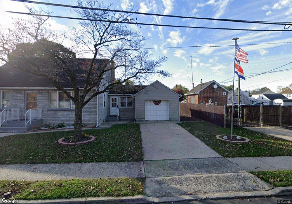
110 High St Trenton, NJ 08611
Franklin Park NeighborhoodEstimated Value: $238,157 - $407,000
--
Bed
--
Bath
1,344
Sq Ft
$230/Sq Ft
Est. Value
About This Home
This home is located at 110 High St, Trenton, NJ 08611 and is currently estimated at $308,539, approximately $229 per square foot. 110 High St is a home located in Mercer County with nearby schools including Lalor Elementary School, Richard C. Crockett Middle School, and Hamilton West-Watson High School.
Ownership History
Date
Name
Owned For
Owner Type
Purchase Details
Closed on
Apr 27, 2021
Sold by
Kamensky Mariap and Estate Of Olga Kl
Bought by
Perez Patricia L
Current Estimated Value
Home Financials for this Owner
Home Financials are based on the most recent Mortgage that was taken out on this home.
Original Mortgage
$157,102
Outstanding Balance
$142,151
Interest Rate
3%
Mortgage Type
FHA
Estimated Equity
$166,388
Create a Home Valuation Report for This Property
The Home Valuation Report is an in-depth analysis detailing your home's value as well as a comparison with similar homes in the area
Home Values in the Area
Average Home Value in this Area
Purchase History
| Date | Buyer | Sale Price | Title Company |
|---|---|---|---|
| Perez Patricia L | $160,000 | Goldstone Title Agency Llc | |
| Perez Patricia L | $160,000 | Goldstone Title |
Source: Public Records
Mortgage History
| Date | Status | Borrower | Loan Amount |
|---|---|---|---|
| Open | Perez Patricia L | $157,102 | |
| Closed | Perez Patricia L | $157,102 |
Source: Public Records
Tax History Compared to Growth
Tax History
| Year | Tax Paid | Tax Assessment Tax Assessment Total Assessment is a certain percentage of the fair market value that is determined by local assessors to be the total taxable value of land and additions on the property. | Land | Improvement |
|---|---|---|---|---|
| 2025 | $5,057 | $143,500 | $28,500 | $115,000 |
| 2024 | $4,740 | $143,500 | $28,500 | $115,000 |
| 2023 | $4,740 | $143,500 | $28,500 | $115,000 |
| 2022 | $4,665 | $143,500 | $28,500 | $115,000 |
| 2021 | $5,773 | $143,500 | $28,500 | $115,000 |
| 2020 | $5,256 | $143,500 | $28,500 | $115,000 |
| 2019 | $5,101 | $143,500 | $28,500 | $115,000 |
| 2018 | $5,118 | $145,900 | $30,900 | $115,000 |
| 2017 | $4,891 | $145,900 | $30,900 | $115,000 |
| 2016 | $3,945 | $145,900 | $30,900 | $115,000 |
| 2015 | $5,199 | $99,800 | $24,500 | $75,300 |
| 2014 | $5,131 | $99,800 | $24,500 | $75,300 |
Source: Public Records
Map
Nearby Homes
- 318 Durand Ave
- 1315 Deutz Ave
- 1301 Deutz Ave Unit 1303
- 324 Durand Ave
- 1321 Deutz Ave
- 1323 Deutz Ave
- 42-51 Deutz Ave
- 332 Durand Ave
- 323 Durand Ave
- 1304 Deutz Ave
- 333 Durand Ave
- 1316 Deutz Ave
- 340 Durand Ave
- 1343 Deutz Ave
- 1310 Deutz Ave
- 339 Durand Ave
- 310 Hewitt Ave
- 1324 Deutz Ave
- 348 Durand Ave
- 1228 Deutz Ave