110 Honey Baer Ln Dahlonega, GA 30533
Estimated Value: $151,000 - $1,558,787
--
Bed
1
Bath
664
Sq Ft
$1,287/Sq Ft
Est. Value
About This Home
This home is located at 110 Honey Baer Ln, Dahlonega, GA 30533 and is currently estimated at $854,894, approximately $1,287 per square foot. 110 Honey Baer Ln is a home located in Lumpkin County with nearby schools including Lumpkin County High School.
Ownership History
Date
Name
Owned For
Owner Type
Purchase Details
Closed on
May 16, 2005
Sold by
Timmers Paul H
Bought by
Shivers Paul A and Shivers Tippany D
Current Estimated Value
Purchase Details
Closed on
Apr 11, 2002
Sold by
Dahlonega Ssembly Of God Inc
Bought by
Timmers Paul H and Nancy Pierce
Purchase Details
Closed on
Sep 26, 2001
Sold by
Head Johnnie Ruth
Bought by
Timmers Paul H and Nancy Pierce
Purchase Details
Closed on
Sep 17, 2001
Sold by
Head Johnnie Ruth
Bought by
Timmers Paul H and Nancy Pierce
Create a Home Valuation Report for This Property
The Home Valuation Report is an in-depth analysis detailing your home's value as well as a comparison with similar homes in the area
Home Values in the Area
Average Home Value in this Area
Purchase History
| Date | Buyer | Sale Price | Title Company |
|---|---|---|---|
| Shivers Paul A | -- | -- | |
| Timmers Paul H | -- | -- | |
| Timmers Paul H | $275,000 | -- | |
| Timmers Paul H | -- | -- |
Source: Public Records
Tax History Compared to Growth
Tax History
| Year | Tax Paid | Tax Assessment Tax Assessment Total Assessment is a certain percentage of the fair market value that is determined by local assessors to be the total taxable value of land and additions on the property. | Land | Improvement |
|---|---|---|---|---|
| 2024 | $5,056 | $472,299 | $163,530 | $308,769 |
| 2023 | $4,519 | $433,269 | $140,974 | $292,295 |
| 2022 | $5,207 | $420,532 | $128,158 | $292,374 |
| 2021 | $4,525 | $388,142 | $128,158 | $259,984 |
| 2020 | $4,496 | $382,470 | $128,158 | $254,312 |
| 2019 | $4,542 | $382,470 | $128,158 | $254,312 |
| 2018 | $4,028 | $353,410 | $128,158 | $225,252 |
| 2017 | $3,826 | $343,307 | $128,158 | $215,149 |
| 2016 | $6,272 | $320,185 | $128,158 | $192,027 |
| 2015 | $5,574 | $320,185 | $128,158 | $192,027 |
| 2014 | $5,574 | $322,430 | $128,158 | $194,272 |
| 2013 | -- | $324,674 | $128,158 | $196,516 |
Source: Public Records
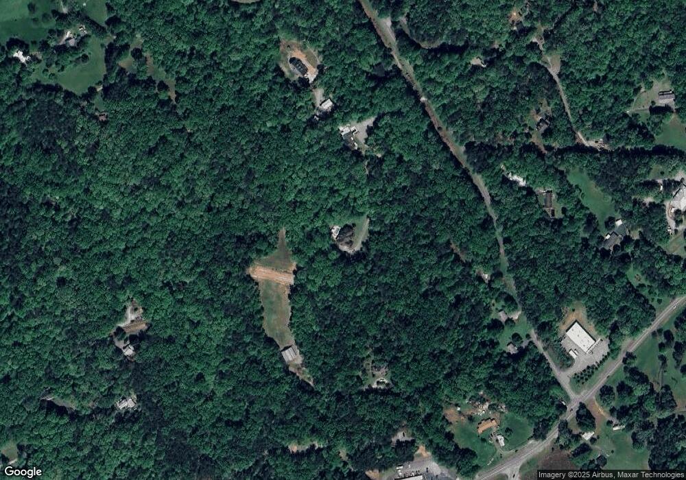
Map
Nearby Homes
- 50 Loyal Dr
- 775 Crooked Creek Dr
- 33 Tj Mote Rd
- 33 T J Mote Rd
- 1047 Nugget Ct
- 190 Grand Oak Ln
- 486 Laurel Cir
- 114 Funaro Ln
- 0 Woodland Ln Unit 10570991
- 7B Strada Valdichiana
- 78 Etowah West Dr
- 436 Applewood Ln
- 108 Chariots Dr
- 931 Homer Edwards Rd
- 5.31 Tom Bell Odom Rd
- 221 Laurel Cir
- 120 Sanders Blvd
- 115 W Woods Dr
- 549 Ivy Terrace
- 20 Angels Way
- 2120 Dawsonville Hwy
- 103 Siloam Church Rd
- 66 Wesley Way
- 359 Siloam Church Rd
- 97 Siloam Church Rd
- 214 Siloam Church Rd
- 382 Old Ellijay Rd W
- 71 Siloam Church Rd
- 204 Siloam Church Rd
- 46 Wesley Way
- 835 Buckhorn Tavern Rd
- 2012 Dawsonville Hwy
- 284 Siloam Church Rd
- 2076 Dawsonville Hwy
- 2400 Dawsonville Hwy
- 12 Wesley Way
- 940 Buckhorn Tavern Rd
- 439 Old Ellijay Rd W
- 838 Buckhorn Tavern Rd
- 208 Hickory Bluff