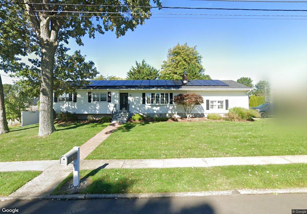
110 Honey Pot Rd West Haven, CT 06516
West Shore NeighborhoodEstimated Value: $445,000 - $532,000
3
Beds
3
Baths
1,404
Sq Ft
$343/Sq Ft
Est. Value
About This Home
This home is located at 110 Honey Pot Rd, West Haven, CT 06516 and is currently estimated at $481,290, approximately $342 per square foot. 110 Honey Pot Rd is a home located in New Haven County with nearby schools including Carrigan 5/6 Intermediate School, Harry M. Bailey Middle School, and West Haven High School.
Ownership History
Date
Name
Owned For
Owner Type
Purchase Details
Closed on
Jan 10, 2007
Sold by
Sperry David B and Sperry Joyce L
Bought by
Vitolo Jerry W and Vitolo Jessica A
Current Estimated Value
Create a Home Valuation Report for This Property
The Home Valuation Report is an in-depth analysis detailing your home's value as well as a comparison with similar homes in the area
Home Values in the Area
Average Home Value in this Area
Purchase History
| Date | Buyer | Sale Price | Title Company |
|---|---|---|---|
| Vitolo Jerry W | $292,500 | -- | |
| Vitolo Jerry W | $292,500 | -- |
Source: Public Records
Mortgage History
| Date | Status | Borrower | Loan Amount |
|---|---|---|---|
| Open | Vitolo Jerry W | $25,000 | |
| Open | Vitolo Jerry W | $160,000 | |
| Closed | Vitolo Jerry W | $221,000 | |
| Closed | Vitolo Jerry W | $230,000 |
Source: Public Records
Tax History Compared to Growth
Tax History
| Year | Tax Paid | Tax Assessment Tax Assessment Total Assessment is a certain percentage of the fair market value that is determined by local assessors to be the total taxable value of land and additions on the property. | Land | Improvement |
|---|---|---|---|---|
| 2025 | $10,552 | $321,020 | $90,580 | $230,440 |
| 2024 | $8,811 | $188,020 | $62,790 | $125,230 |
| 2023 | $8,480 | $188,020 | $62,790 | $125,230 |
| 2022 | $8,327 | $188,020 | $62,790 | $125,230 |
| 2021 | $8,327 | $188,020 | $62,790 | $125,230 |
| 2020 | $8,357 | $171,920 | $58,240 | $113,680 |
| 2019 | $8,090 | $171,920 | $58,240 | $113,680 |
| 2018 | $7,975 | $171,920 | $58,240 | $113,680 |
| 2017 | $7,760 | $171,920 | $58,240 | $113,680 |
| 2016 | $7,674 | $171,920 | $58,240 | $113,680 |
| 2015 | $7,705 | $193,200 | $62,020 | $131,180 |
| 2014 | $7,705 | $193,200 | $62,020 | $131,180 |
Source: Public Records
Map
Nearby Homes
- 224 Benham Hill Rd
- 108 Honey Pot Rd
- 216 Benham Hill Rd
- 76 Oxbow Ln
- 79 Oxbow Ln
- 109 Honey Pot Rd
- 238 Benham Hill Rd
- 208 Benham Hill Rd
- 106 Honey Pot Rd
- 75 Oxbow Ln
- 225 Benham Hill Rd
- 219 Benham Hill Rd
- 231 Benham Hill Rd
- 74 Oxbow Ln
- 23 Haystack Rd
- 213 Benham Hill Rd
- 235 Benham Hill Rd
- 200 Benham Hill Rd
- 207 Benham Hill Rd
- 73 Oxbow Ln