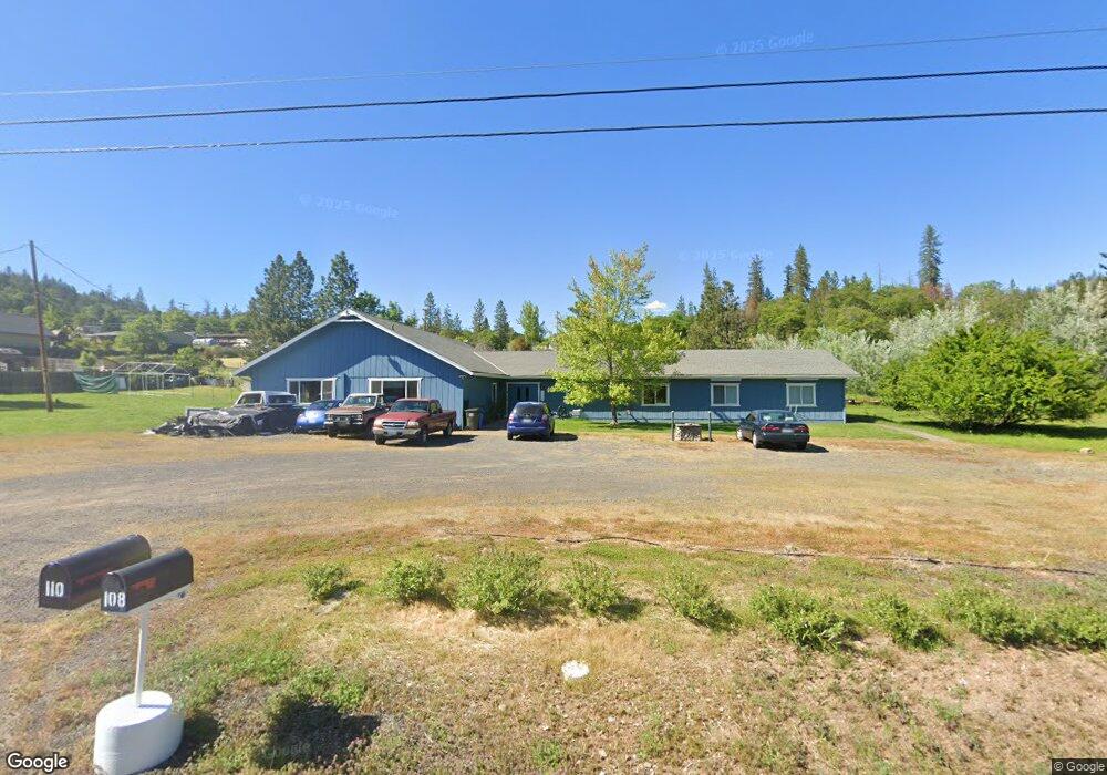
110 Hudspeth Ln Shady Cove, OR 97539
Estimated Value: $701,865 - $916,000
4
Beds
2
Baths
4,336
Sq Ft
$180/Sq Ft
Est. Value
About This Home
This home is located at 110 Hudspeth Ln, Shady Cove, OR 97539 and is currently estimated at $781,288, approximately $180 per square foot. 110 Hudspeth Ln is a home located in Jackson County with nearby schools including Shady Cove School, Eagle Point Middle School, and White Mountain Middle School.
Ownership History
Date
Name
Owned For
Owner Type
Purchase Details
Closed on
Sep 6, 2018
Sold by
Hines Pastor Jeffrey R
Bought by
Buckle Aaron K
Current Estimated Value
Home Financials for this Owner
Home Financials are based on the most recent Mortgage that was taken out on this home.
Original Mortgage
$194,400
Outstanding Balance
$168,829
Interest Rate
4.5%
Mortgage Type
New Conventional
Estimated Equity
$612,459
Purchase Details
Closed on
Aug 31, 2015
Sold by
Cdf Holdings Llc
Bought by
Hines Pastor Jeffrey R
Purchase Details
Closed on
Apr 7, 2011
Sold by
Oregon Christian Evangelistic Fellowship
Bought by
Cdf Holding Llc
Purchase Details
Closed on
Jul 25, 2007
Sold by
The Church Of Christ Shady Cove
Bought by
Oregon Christian Evangelistic Fellowship
Create a Home Valuation Report for This Property
The Home Valuation Report is an in-depth analysis detailing your home's value as well as a comparison with similar homes in the area
Home Values in the Area
Average Home Value in this Area
Purchase History
| Date | Buyer | Sale Price | Title Company |
|---|---|---|---|
| Buckle Aaron K | $243,000 | First American Title | |
| Hines Pastor Jeffrey R | $128,000 | None Available | |
| Cdf Holding Llc | -- | Ticor Title | |
| Oregon Christian Evangelistic Fellowship | -- | None Available |
Source: Public Records
Mortgage History
| Date | Status | Borrower | Loan Amount |
|---|---|---|---|
| Open | Buckle Aaron K | $194,400 |
Source: Public Records
Tax History Compared to Growth
Tax History
| Year | Tax Paid | Tax Assessment Tax Assessment Total Assessment is a certain percentage of the fair market value that is determined by local assessors to be the total taxable value of land and additions on the property. | Land | Improvement |
|---|---|---|---|---|
| 2025 | $4,916 | $419,480 | $121,380 | $298,100 |
| 2024 | $4,916 | $407,270 | $117,840 | $289,430 |
| 2023 | $4,746 | $483,900 | $119,730 | $364,170 |
| 2022 | $3,236 | $277,140 | $107,730 | $169,410 |
| 2021 | $3,141 | $269,070 | $104,600 | $164,470 |
| 2020 | $3,385 | $261,240 | $101,550 | $159,690 |
| 2019 | $3,340 | $246,260 | $95,720 | $150,540 |
| 2018 | $3,380 | $67,150 | $38,190 | $28,960 |
| 2017 | $898 | $67,150 | $38,190 | $28,960 |
| 2016 | $824 | $63,310 | $36,010 | $27,300 |
| 2015 | $3,332 | $263,960 | $140,570 | $123,390 |
| 2014 | $3,231 | $248,820 | $132,510 | $116,310 |
Source: Public Records
Map
Nearby Homes
- 30 Dion Ct Unit 3
- 124 Hudspeth Ln
- 0 Train Ln Unit 220212031
- 1027 Chevney Way
- 635 Sarma Dr
- 551 Hudspeth Ln
- 1755 Old Ferry Rd
- 23159 Highway 62
- 22071 Highway 62 Unit 70
- 22071 Highway 62 Unit 54
- 22071 Highway 62 Unit 52
- 1090 Anglers Place
- 23619 Oregon 62
- 835 Ragsdale Rd
- 58 Pine St
- 838 Ragsdale Rd
- 103 Summit Dr
- 7266 Rogue River Dr
- 84 Meadow Ln
- 0 Cabetowne Way Unit 220200666
- 40 Dion Ct
- 40 Dion Ct Unit 1
- 40 Dion Ct Unit 3
- 40 Dion Ct Unit 4
- 40 Dion Ct Unit 2
- 40 Dion Ct Unit 2
- 120 Hudspeth Ln
- 104 Hudspeth Ln
- 50 Dion Ct
- 50 Dion Ct Unit 1-4
- 95 Train Ln
- 125 Hudspeth Ln
- 30 Dion Ct
- 30 Dion Ct Unit 1-4
- 30 Dion Ct Unit 1
- 30 Dion Ct Unit 4
- 30 Dion Ct Unit 2,3
- 30 Dion Ct Unit 4
- 30 Dion Ct Unit 1
- 30 Dion Ct Unit 2