110 Jamestown Rd Pocahontas, IL 62275
--
Bed
--
Bath
--
Sq Ft
31
Acres
About This Home
This home is located at 110 Jamestown Rd, Pocahontas, IL 62275. 110 Jamestown Rd is a home located in Bond County with nearby schools including Bond County Community Unit 2 High School.
Ownership History
Date
Name
Owned For
Owner Type
Purchase Details
Closed on
Dec 18, 2013
Sold by
Newkirk Mark W and Newkirk Patricia A
Bought by
Wade Garrett W and Wade Katie E
Home Financials for this Owner
Home Financials are based on the most recent Mortgage that was taken out on this home.
Original Mortgage
$57,150
Interest Rate
3.35%
Mortgage Type
Stand Alone First
Purchase Details
Closed on
Jan 9, 2012
Sold by
Weiss Roger M
Bought by
Newkirk Mark W and Newkirck Patricia A
Home Financials for this Owner
Home Financials are based on the most recent Mortgage that was taken out on this home.
Original Mortgage
$146,879
Interest Rate
3.98%
Mortgage Type
Purchase Money Mortgage
Create a Home Valuation Report for This Property
The Home Valuation Report is an in-depth analysis detailing your home's value as well as a comparison with similar homes in the area
Home Values in the Area
Average Home Value in this Area
Purchase History
| Date | Buyer | Sale Price | Title Company |
|---|---|---|---|
| Wade Garrett W | $146,250 | -- | |
| Newkirk Mark W | -- | -- |
Source: Public Records
Mortgage History
| Date | Status | Borrower | Loan Amount |
|---|---|---|---|
| Closed | Wade Garrett W | $57,150 | |
| Previous Owner | Newkirk Mark W | $146,879 |
Source: Public Records
Tax History Compared to Growth
Tax History
| Year | Tax Paid | Tax Assessment Tax Assessment Total Assessment is a certain percentage of the fair market value that is determined by local assessors to be the total taxable value of land and additions on the property. | Land | Improvement |
|---|---|---|---|---|
| 2023 | $426 | $5,433 | $5,433 | $0 |
| 2022 | $367 | $5,433 | $5,433 | $0 |
| 2021 | $322 | $4,006 | $4,006 | $0 |
| 2020 | $277 | $3,387 | $3,387 | $0 |
| 2019 | $234 | $2,821 | $2,821 | $0 |
| 2018 | $179 | $2,120 | $2,120 | $0 |
| 2016 | $121 | $1,194 | $1,194 | $0 |
| 2015 | $83 | $1,194 | $1,194 | $0 |
| 2013 | $7 | $906 | $906 | $0 |
| 2011 | $48 | $825 | $825 | $0 |
Source: Public Records
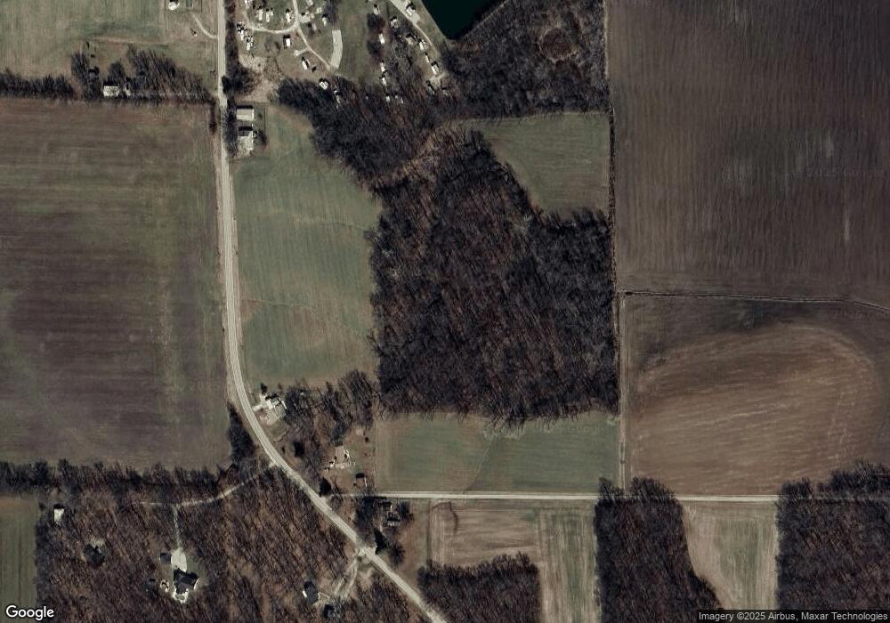
Map
Nearby Homes
- 000 Hug Cemetery Rd
- 4 Hill Valley Dr
- 22809 Saint Rose Rd
- 112 Blaine St
- 204 E Kavanaugh St
- 371 Frey Meadows Rd
- 0 W State St
- 0 W State Street Lot 3 Unit MAR24014942
- 0 W State Street Lot 2 Unit MAR24014905
- 0 W State Street Lot 1 Unit MAR24014842
- 39 W State St
- 38 W State St
- 35 W State St
- 34 W State St
- 33 W State St
- 32 W State St
- 29 W State St
- 37 W State St
- 36 W State St
- 26 W State St
- 102 Jamestown Rd
- 104 Jamestown Rd
- 98 Jamestown Rd
- 116 Jamestown Rd
- 97 Jamestown Rd
- 93 Jamestown Rd
- 89 Jamestown Rd
- 103 Jamestown Rd
- 84 Cherry Lane Rd
- 119 Jamestown Rd
- 88 Cherry Lane Rd
- 163 Jamestown Rd
- 577 Alder Ave
- 577 Alder Ave
- 97 Cherry Lane Rd
- 123 Cherry Lane Rd
- 570 Alder Ave
- 537 Trestle Ave
- 30 Zorn Rd
- 29 Jamestown Rd