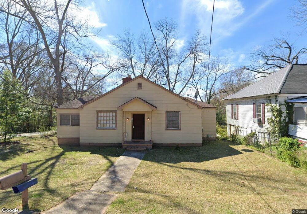
110 Johnson St Lagrange, GA 30241
Estimated Value: $71,218 - $85,000
2
Beds
1
Bath
896
Sq Ft
$87/Sq Ft
Est. Value
About This Home
This home is located at 110 Johnson St, Lagrange, GA 30241 and is currently estimated at $77,555, approximately $86 per square foot. 110 Johnson St is a home located in Troup County with nearby schools including Hollis Hand Elementary School, Franklin Forest Elementary School, and Ethel W. Kight Elementary School.
Ownership History
Date
Name
Owned For
Owner Type
Purchase Details
Closed on
Sep 10, 1992
Sold by
Powers Ruby
Bought by
Davenport Ebenitt
Current Estimated Value
Purchase Details
Closed on
Dec 1, 1984
Purchase Details
Closed on
Jan 1, 1970
Purchase Details
Closed on
Jan 1, 1968
Create a Home Valuation Report for This Property
The Home Valuation Report is an in-depth analysis detailing your home's value as well as a comparison with similar homes in the area
Purchase History
| Date | Buyer | Sale Price | Title Company |
|---|---|---|---|
| Davenport Ebenitt | $22,000 | -- | |
| -- | -- | -- | |
| Powers Ruby | -- | -- | |
| -- | -- | -- | |
| -- | -- | -- |
Source: Public Records
Tax History
| Year | Tax Paid | Tax Assessment Tax Assessment Total Assessment is a certain percentage of the fair market value that is determined by local assessors to be the total taxable value of land and additions on the property. | Land | Improvement |
|---|---|---|---|---|
| 2025 | $445 | $16,320 | $3,600 | $12,720 |
| 2024 | $417 | $15,280 | $3,600 | $11,680 |
| 2023 | $403 | $14,760 | $3,600 | $11,160 |
| 2022 | $394 | $14,120 | $3,600 | $10,520 |
| 2021 | $362 | $12,000 | $2,040 | $9,960 |
| 2020 | $362 | $12,000 | $2,040 | $9,960 |
| 2019 | $315 | $10,440 | $2,040 | $8,400 |
| 2018 | $315 | $10,452 | $2,052 | $8,400 |
| 2017 | $315 | $10,452 | $2,052 | $8,400 |
| 2016 | $312 | $10,350 | $2,052 | $8,298 |
| 2015 | $313 | $10,350 | $2,052 | $8,298 |
| 2014 | $300 | $9,913 | $2,052 | $7,861 |
| 2013 | -- | $10,576 | $2,052 | $8,524 |
Source: Public Records
Map
Nearby Homes
- 108 Johnson St
- 910 N 916 1000 1002 N Oak & 1011 1019 1021 Johnson St
- 106 Johnson St
- 211 S Dawson St
- 213 S Dawson St
- 209 S Dawson St
- 405 Ware St
- 107 Johnson St
- 104 Johnson St
- 105 Johnson St
- 217 S Dawson St
- 102 Johnson St
- 404 Ware St
- 313 Ware St
- 101 Johnson St
- 202 Johnson St
- 203 Johnson St
- 506 Hines St
- 504 Hines St
- 400 Ware St
Your Personal Tour Guide
Ask me questions while you tour the home.