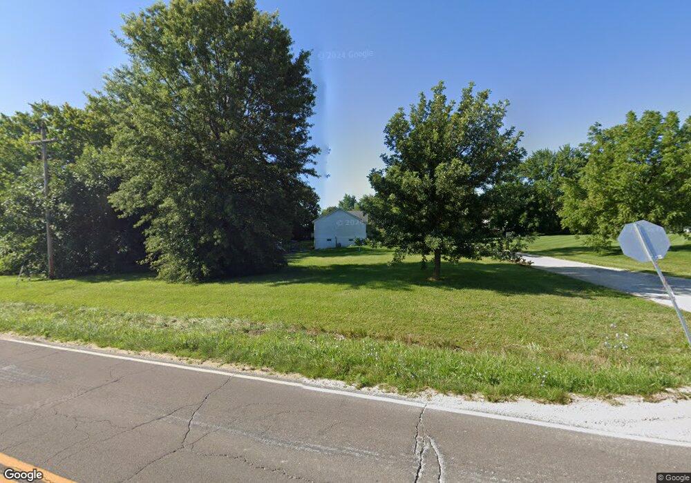
110 Joseph Hawk Point, MO 63349
Estimated Value: $205,000 - $225,000
2
Beds
1
Bath
1,093
Sq Ft
$197/Sq Ft
Est. Value
About This Home
This home is located at 110 Joseph, Hawk Point, MO 63349 and is currently estimated at $215,101, approximately $196 per square foot. 110 Joseph is a home located in Lincoln County with nearby schools including Hawk Point Elementary School, Troy Middle School, and Troy Buchanan High School.
Ownership History
Date
Name
Owned For
Owner Type
Purchase Details
Closed on
Feb 15, 2008
Sold by
Gillman Kimberlain and Baumgartner Denise
Bought by
Gillman Kimberlain F and Baumgartner Denise P
Current Estimated Value
Home Financials for this Owner
Home Financials are based on the most recent Mortgage that was taken out on this home.
Original Mortgage
$136,923
Outstanding Balance
$84,635
Interest Rate
5.68%
Mortgage Type
FHA
Estimated Equity
$130,466
Purchase Details
Closed on
Mar 1, 2006
Sold by
Thornhill Earl W and Thornhill Earl W
Bought by
Gillman Kimberlain and Boumgartner Denise
Home Financials for this Owner
Home Financials are based on the most recent Mortgage that was taken out on this home.
Original Mortgage
$24,950
Interest Rate
5.66%
Mortgage Type
Construction
Purchase Details
Closed on
Oct 5, 2001
Sold by
Darby Stephen and Darby Laura
Bought by
Thomhill Earl W and Earl W Thornhill Revocable Trust
Create a Home Valuation Report for This Property
The Home Valuation Report is an in-depth analysis detailing your home's value as well as a comparison with similar homes in the area
Purchase History
| Date | Buyer | Sale Price | Title Company |
|---|---|---|---|
| Gillman Kimberlain F | -- | None Available | |
| Gillman Kimberlain | -- | Lincoln County Tittle Compan | |
| Thomhill Earl W | -- | Meyer Title Company |
Source: Public Records
Mortgage History
| Date | Status | Borrower | Loan Amount |
|---|---|---|---|
| Open | Gillman Kimberlain F | $136,923 | |
| Closed | Gillman Kimberlain | $24,950 |
Source: Public Records
Tax History
| Year | Tax Paid | Tax Assessment Tax Assessment Total Assessment is a certain percentage of the fair market value that is determined by local assessors to be the total taxable value of land and additions on the property. | Land | Improvement |
|---|---|---|---|---|
| 2025 | $1,500 | $23,566 | $1,528 | $22,038 |
| 2024 | $1,407 | $21,702 | $954 | $20,748 |
| 2023 | $1,399 | $21,702 | $954 | $20,748 |
| 2022 | $1,324 | $20,668 | $954 | $19,714 |
| 2021 | $1,329 | $108,780 | $0 | $0 |
| 2020 | $1,131 | $93,440 | $0 | $0 |
| 2019 | $1,132 | $93,440 | $0 | $0 |
| 2018 | $1,169 | $18,115 | $0 | $0 |
| 2017 | $1,173 | $18,115 | $0 | $0 |
| 2016 | $1,043 | $15,717 | $0 | $0 |
| 2015 | $1,049 | $15,717 | $0 | $0 |
| 2014 | -- | $15,717 | $0 | $0 |
| 2013 | -- | $15,717 | $0 | $0 |
Source: Public Records
Map
Nearby Homes
- 415 Walnut St
- 4 Ashley Ln
- 140 Turkey Creek Crossing Dr
- 339 White Rd
- 8 Summers Breeze Ct
- 2 Country Ridge Trail
- 346 Bethel Rd
- 300 Shumard Oak Dr
- 804 Timber Creek Ct
- 401 Deep Forest Dr
- 113 Bridlespur Ct
- 64 Mocking Bird Ln
- 0 Cedar Circle Ln Unit MIS25071955
- 45 Blue Line Ln
- 456 Westridge Dr
- 459 Westridge Dr
- 762 Cave Farm Rd
- 0 Westridge Dr
- 39024 Winter St
- 408 Westridge Dr
Your Personal Tour Guide
Ask me questions while you tour the home.