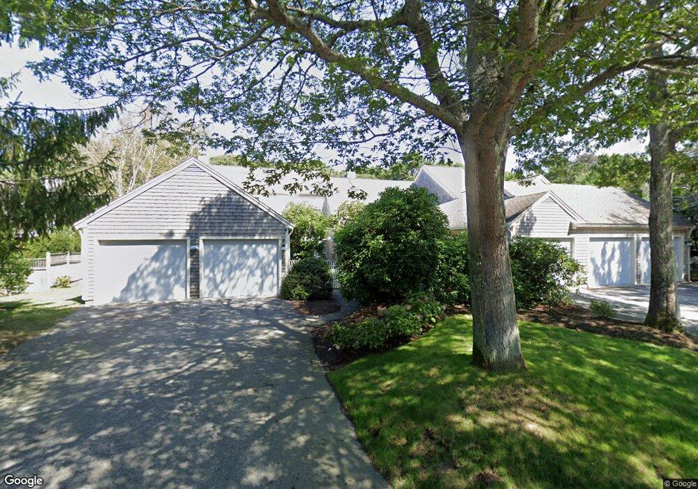
110 Kates Path Unit D Yarmouth Port, MA 02675
Yarmouth Port NeighborhoodEstimated Value: $685,000 - $710,000
2
Beds
4
Baths
1,609
Sq Ft
$431/Sq Ft
Est. Value
About This Home
This home is located at 110 Kates Path Unit D, Yarmouth Port, MA 02675 and is currently estimated at $693,276, approximately $430 per square foot. 110 Kates Path Unit D is a home located in Barnstable County with nearby schools including Dennis-Yarmouth Regional High School.
Ownership History
Date
Name
Owned For
Owner Type
Purchase Details
Closed on
Sep 19, 2025
Sold by
Anderson Barbara W
Bought by
Greene Kerrie
Current Estimated Value
Purchase Details
Closed on
Sep 16, 2011
Sold by
Frances M Casey Ret and Casey
Bought by
Anderson Donald L and Anderson Barbara W
Purchase Details
Closed on
Mar 4, 2005
Sold by
Casey Frances M and Casey John B
Bought by
Frances M Casey Ret and Casey
Create a Home Valuation Report for This Property
The Home Valuation Report is an in-depth analysis detailing your home's value as well as a comparison with similar homes in the area
Home Values in the Area
Average Home Value in this Area
Purchase History
| Date | Buyer | Sale Price | Title Company |
|---|---|---|---|
| Greene Kerrie | $685,500 | -- | |
| Anderson Donald L | $270,000 | -- | |
| Anderson Donald L | $270,000 | -- | |
| Frances M Casey Ret | -- | -- |
Source: Public Records
Mortgage History
| Date | Status | Borrower | Loan Amount |
|---|---|---|---|
| Previous Owner | Frances M Casey Ret | $1,329,122 |
Source: Public Records
Tax History Compared to Growth
Tax History
| Year | Tax Paid | Tax Assessment Tax Assessment Total Assessment is a certain percentage of the fair market value that is determined by local assessors to be the total taxable value of land and additions on the property. | Land | Improvement |
|---|---|---|---|---|
| 2025 | $4,026 | $568,700 | $0 | $568,700 |
| 2024 | $3,743 | $507,200 | $0 | $507,200 |
| 2023 | $3,647 | $449,700 | $0 | $449,700 |
| 2022 | $4,164 | $453,600 | $0 | $453,600 |
| 2021 | $4,052 | $423,900 | $0 | $423,900 |
| 2020 | $4,091 | $409,100 | $0 | $409,100 |
| 2019 | $3,838 | $380,000 | $0 | $380,000 |
| 2018 | $3,611 | $350,900 | $0 | $350,900 |
| 2017 | $3,371 | $336,400 | $0 | $336,400 |
| 2016 | $3,212 | $321,800 | $0 | $321,800 |
| 2015 | $3,314 | $330,100 | $0 | $330,100 |
Source: Public Records
Map
Nearby Homes
- 158 Kates Path
- 19 John Hall Cartway Unit E
- 19 John Halls Cartpath Village Unit E
- 228 Kates Path
- 50 John Hall Cartway
- 50 John Hall Cartway Unit 50
- 42 John Hall Cartway Unit 42
- 17 Kates Path Unit A
- 64 Kates Path
- 34 Kates Path
- 34 Kates Path Unit 34
- 7 Forest Gate Unit 7
- 30 W Woods
- 30 W Woods Cir Unit 30
- 28 Oak Glen
- 43 Canterbury Rd
- 25 Oak Glen Village Unit 25
- 25 Oak Glen
- 2 Pine Grove
- 44 Stratford Ln
- 114 Kates Path
- 112 Kates Path
- 69 Kate's Path Kings Unit 69
- 108 Kates Path
- 106 Kates Path
- 104 Kates Path
- 104 Kates Path Unit A
- 102 Kates Path Unit E
- 108 Kates Path Unit H
- 106 Kates Path Unit C
- 106 Kates Path Unit 106
- 67 Kathes
- 126 Kates Path
- 124 Kates Path
- 120 Kates Path
- 118 Kates Path
- 116 Kates Path
- 120 Kates Path Unit 120
- 126 Kates Path Unit E