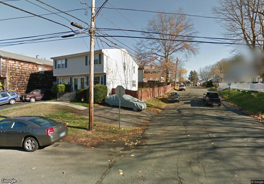
110 Lansing St Bridgeport, CT 06606
Reservoir-Whiskey Hill NeighborhoodEstimated Value: $302,000 - $349,000
3
Beds
2
Baths
1,184
Sq Ft
$277/Sq Ft
Est. Value
About This Home
This home is located at 110 Lansing St, Bridgeport, CT 06606 and is currently estimated at $328,376, approximately $277 per square foot. 110 Lansing St is a home located in Fairfield County with nearby schools including Hallen School, Central High School, and Northeastern Adventist Academy - Fairfield County.
Ownership History
Date
Name
Owned For
Owner Type
Purchase Details
Closed on
Feb 8, 2018
Sold by
Williams Rashid
Bought by
Department Of Housing & Urban Dev
Current Estimated Value
Home Financials for this Owner
Home Financials are based on the most recent Mortgage that was taken out on this home.
Original Mortgage
$84,000
Interest Rate
3.99%
Mortgage Type
Unknown
Create a Home Valuation Report for This Property
The Home Valuation Report is an in-depth analysis detailing your home's value as well as a comparison with similar homes in the area
Home Values in the Area
Average Home Value in this Area
Purchase History
| Date | Buyer | Sale Price | Title Company |
|---|---|---|---|
| Department Of Housing & Urban Dev | $15,000 | -- | |
| Williams Rashid | $105,000 | -- | |
| Department Of Housing & Urban Dev | $15,000 | -- |
Source: Public Records
Mortgage History
| Date | Status | Borrower | Loan Amount |
|---|---|---|---|
| Open | Department Of Housing & Urban Dev | $10,500 | |
| Open | Department Of Housing & Urban Dev | $84,000 | |
| Closed | Department Of Housing & Urban Dev | $84,000 |
Source: Public Records
Tax History Compared to Growth
Tax History
| Year | Tax Paid | Tax Assessment Tax Assessment Total Assessment is a certain percentage of the fair market value that is determined by local assessors to be the total taxable value of land and additions on the property. | Land | Improvement |
|---|---|---|---|---|
| 2025 | $5,884 | $135,424 | $25,904 | $109,520 |
| 2024 | $5,884 | $135,424 | $25,904 | $109,520 |
| 2023 | $5,884 | $135,424 | $25,904 | $109,520 |
| 2022 | $5,884 | $135,424 | $25,904 | $109,520 |
| 2021 | $5,884 | $135,424 | $25,904 | $109,520 |
| 2020 | $4,506 | $83,460 | $14,920 | $68,540 |
| 2019 | $4,506 | $83,460 | $14,920 | $68,540 |
| 2018 | $4,538 | $83,460 | $14,920 | $68,540 |
| 2017 | $4,538 | $83,460 | $14,920 | $68,540 |
| 2016 | $4,538 | $83,460 | $14,920 | $68,540 |
| 2015 | $4,396 | $104,160 | $17,090 | $87,070 |
| 2014 | $4,396 | $104,160 | $17,090 | $87,070 |
Source: Public Records
Map
Nearby Homes
- 717 Reservoir Ave
- 705 Reservoir Ave
- 36 Platt St
- 285 Alba Ave
- 410 Alba Ave
- 130 Wilkins Ave
- 7 Stone Ridge Rd
- 110 Wilkins Ave
- 28 Wilkins Ave
- 438 Soundview Ave
- 769 Sylvan Ave Unit 16
- 769 Sylvan Ave Unit 13
- 45 Polk St
- 165 Yaremich Dr
- 365 Platt St
- 26 Karen Ct Unit A
- 15 Edwards St
- 1053 Sylvan Ave
- 181 Cityview Ave
- 1088 Sylvan Ave
- 112 Lansing St
- 120 Lansing St
- 122 Lansing St
- 130 Lansing St
- 77 Woodlawn Ave
- 46 Woodlawn Ave
- 46 Woodlawn Ave Unit 1ST
- 132 Lansing St
- 57 Lansing Place
- 47 Woodlawn Ave
- 55 Lansing Place
- 111 Lansing St
- 111 Lansing St Unit B
- 131 Lansing St
- 55 Woodlawn Ave
- 42 Woodlawn Ave
- 79 Lansing St
- 140 Lansing St
- 74 Lansing St
- 58 Lansing St