110 Laurel Ridge Unit 184 Canton, GA 30114
Estimated Value: $484,000 - $795,592
2
Beds
2
Baths
2,216
Sq Ft
$289/Sq Ft
Est. Value
About This Home
This home is located at 110 Laurel Ridge Unit 184, Canton, GA 30114 and is currently estimated at $639,796, approximately $288 per square foot. 110 Laurel Ridge Unit 184 is a home located in Cherokee County with nearby schools including R. M. Moore Elementary School, Teasley Middle School, and Cherokee High School.
Ownership History
Date
Name
Owned For
Owner Type
Purchase Details
Closed on
Jul 16, 2013
Sold by
Maffett Jean B
Bought by
Wilson Randall P and Wilson Sherri L
Current Estimated Value
Home Financials for this Owner
Home Financials are based on the most recent Mortgage that was taken out on this home.
Original Mortgage
$162,500
Outstanding Balance
$115,025
Interest Rate
3.38%
Mortgage Type
New Conventional
Estimated Equity
$524,771
Purchase Details
Closed on
Jun 15, 2007
Sold by
Levitt & Sons Of Cherokee Coun
Bought by
Maffett Jean B
Create a Home Valuation Report for This Property
The Home Valuation Report is an in-depth analysis detailing your home's value as well as a comparison with similar homes in the area
Home Values in the Area
Average Home Value in this Area
Purchase History
| Date | Buyer | Sale Price | Title Company |
|---|---|---|---|
| Wilson Randall P | $289,500 | -- | |
| Maffett Jean B | $353,300 | -- |
Source: Public Records
Mortgage History
| Date | Status | Borrower | Loan Amount |
|---|---|---|---|
| Open | Wilson Randall P | $162,500 |
Source: Public Records
Tax History Compared to Growth
Tax History
| Year | Tax Paid | Tax Assessment Tax Assessment Total Assessment is a certain percentage of the fair market value that is determined by local assessors to be the total taxable value of land and additions on the property. | Land | Improvement |
|---|---|---|---|---|
| 2025 | $1,085 | $206,080 | $44,080 | $162,000 |
| 2024 | $1,071 | $198,560 | $42,000 | $156,560 |
| 2023 | $845 | $191,600 | $42,000 | $149,600 |
| 2022 | $750 | $140,720 | $33,160 | $107,560 |
| 2021 | $739 | $132,880 | $34,960 | $97,920 |
| 2020 | $717 | $128,440 | $33,000 | $95,440 |
| 2019 | $3,921 | $133,760 | $32,000 | $101,760 |
| 2018 | $3,868 | $130,960 | $32,000 | $98,960 |
| 2017 | $3,823 | $320,700 | $32,000 | $96,280 |
| 2016 | $3,084 | $312,000 | $32,000 | $92,800 |
| 2015 | $3,076 | $308,200 | $32,000 | $91,280 |
| 2014 | $3,543 | $280,200 | $32,000 | $80,080 |
Source: Public Records
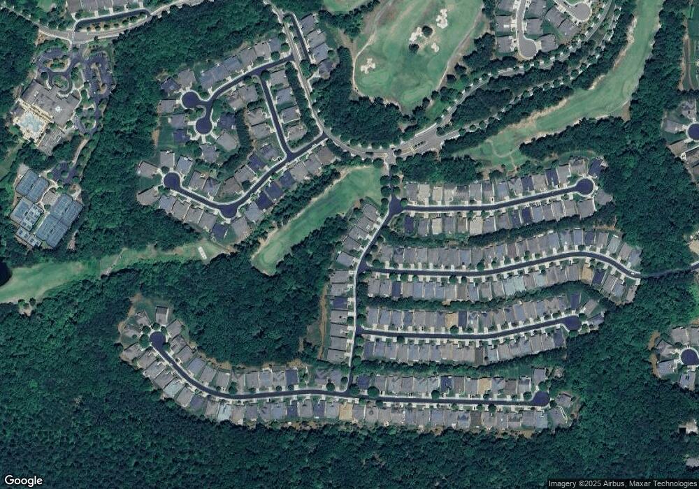
Map
Nearby Homes
- 507 Bonneset Ct
- 646 Laurel Crossing
- 601 Laurel Crossing
- 238 Balsam Dr
- 230 Misty View Dr
- 540 Laurel Canyon Pkwy
- 102 Woodsdale Dr
- 158 Laurel Overlook
- 633 Hemlock Trail
- 209 Big Cedar Run
- 206 Canyon Fairway Trace
- 319 Laurel Lookout Hills
- 310 Laurel Lookout Hills
- 30 Honey Dew Dr
- The Fullerton Plan at Horizon at Laurel Canyon
- The Pinehurst Plan at Horizon at Laurel Canyon
- The Wellington Plan at Horizon at Laurel Canyon
- The Waveland Plan at Horizon at Laurel Canyon
- The York Plan at Horizon at Laurel Canyon
- The Cambridge Plan at Horizon at Laurel Canyon
- 110 Laurel Ridge
- 108 Laurel Ridge
- 112 Laurel Ridge
- 106 Laurel Ridge
- 114 Laurel Ridge
- 201 Balsam Dr
- 104 Laurel Ridge
- 116 Laurel Ridge
- 200 Balsam Dr
- 203 Balsam Dr
- 200 Aster Ct
- 202 Balsam Dr
- 118 Laurel Ridge
- 205 Balsam Dr
- 204 Balsam Dr
- 501 Bonneset Ct
- 207 Balsam Dr
- 206 Balsam Dr
- 202 Aster Ct
- 503 Bonneset Ct