110 Laurelwood Dr Hopedale, MA 01747
Estimated Value: $370,000 - $410,000
2
Beds
2
Baths
1,305
Sq Ft
$299/Sq Ft
Est. Value
About This Home
This home is located at 110 Laurelwood Dr, Hopedale, MA 01747 and is currently estimated at $390,648, approximately $299 per square foot. 110 Laurelwood Dr is a home located in Worcester County with nearby schools including Memorial Elementary School, Hopedale Jr Sr High School, and Bethany Christian Academy.
Ownership History
Date
Name
Owned For
Owner Type
Purchase Details
Closed on
May 31, 2016
Sold by
Bouley-Scafidi Jaleise and Scafidi Timothy M
Bought by
Duhamel Scott
Current Estimated Value
Home Financials for this Owner
Home Financials are based on the most recent Mortgage that was taken out on this home.
Original Mortgage
$174,000
Outstanding Balance
$135,856
Interest Rate
3%
Mortgage Type
New Conventional
Estimated Equity
$254,792
Purchase Details
Closed on
Jul 26, 2011
Sold by
Fair Cynthia F
Bought by
Bouley Jaleise
Home Financials for this Owner
Home Financials are based on the most recent Mortgage that was taken out on this home.
Original Mortgage
$144,000
Interest Rate
4.49%
Mortgage Type
Purchase Money Mortgage
Purchase Details
Closed on
Sep 10, 2002
Sold by
Kirby David A
Bought by
Fair Cynthia A
Create a Home Valuation Report for This Property
The Home Valuation Report is an in-depth analysis detailing your home's value as well as a comparison with similar homes in the area
Home Values in the Area
Average Home Value in this Area
Purchase History
| Date | Buyer | Sale Price | Title Company |
|---|---|---|---|
| Duhamel Scott | $217,500 | -- | |
| Bouley Jaleise | $180,000 | -- | |
| Fair Cynthia A | $213,000 | -- |
Source: Public Records
Mortgage History
| Date | Status | Borrower | Loan Amount |
|---|---|---|---|
| Open | Duhamel Scott | $174,000 | |
| Previous Owner | Bouley Jaleise | $144,000 | |
| Previous Owner | Fair Cynthia A | $51,300 |
Source: Public Records
Tax History Compared to Growth
Tax History
| Year | Tax Paid | Tax Assessment Tax Assessment Total Assessment is a certain percentage of the fair market value that is determined by local assessors to be the total taxable value of land and additions on the property. | Land | Improvement |
|---|---|---|---|---|
| 2025 | $5,500 | $331,100 | $0 | $331,100 |
| 2024 | $5,139 | $309,600 | $0 | $309,600 |
| 2023 | $4,567 | $282,800 | $0 | $282,800 |
| 2022 | $4,052 | $236,800 | $0 | $236,800 |
| 2021 | $4,101 | $229,500 | $0 | $229,500 |
| 2020 | $3,884 | $223,100 | $0 | $223,100 |
| 2019 | $3,533 | $201,100 | $0 | $201,100 |
| 2018 | $3,428 | $195,000 | $0 | $195,000 |
| 2017 | $3,270 | $189,100 | $0 | $189,100 |
| 2016 | $3,120 | $185,400 | $0 | $185,400 |
| 2015 | $2,893 | $174,500 | $0 | $174,500 |
Source: Public Records
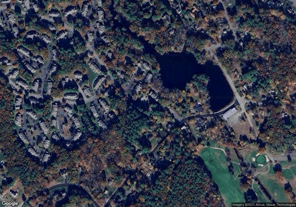
Map
Nearby Homes
- 108 Laurelwood Dr Unit 108
- 2 Crestview Dr
- 164 Greene St
- 26 Brookview Ln Unit 26
- 11 Heron Ln
- 25 Bens Way
- 3 Birch Cir
- 23 Bens Way
- The Brooklyn Plan at Harmony - Subdivision
- The Meadow Plan at Harmony - Subdivision
- The Layla Plan at Harmony - Subdivision
- The Ashley Plan at Harmony - Subdivision
- The Everleigh Plan at Harmony - Subdivision
- The Tucker Plan at Harmony - Subdivision
- The Iris Plan at Harmony - Subdivision
- 16 North Ave
- 29 Harmony Trail
- 8 Union St Unit 8
- 13 Blackstone St
- 106 Adin St
- 111 Laurelwood Dr
- 109 Laurelwood Dr
- 111 Laurelwood Dr Unit 111
- 109 Laurelwood Dr Unit 109
- 110 Laurelwood Dr Unit 110
- 119 Laurelwood Dr
- 118 Laurelwood Dr
- 117 Laurelwood Dr
- 116 Laurelwood Dr
- 117 Laurelwood Dr Unit 117
- 119 Laurelwood Dr Unit 119
- 108 Laurelwood Dr
- 107 Laurelwood Dr
- 106 Laurelwood Dr
- 106 Laurelwood Dr Unit 106
- 153 Laurelwood Dr
- 152 Laurelwood Dr
- 151 Laurelwood Dr
- 150 Laurelwood Dr
- 152 Laurelwood Dr Unit 152