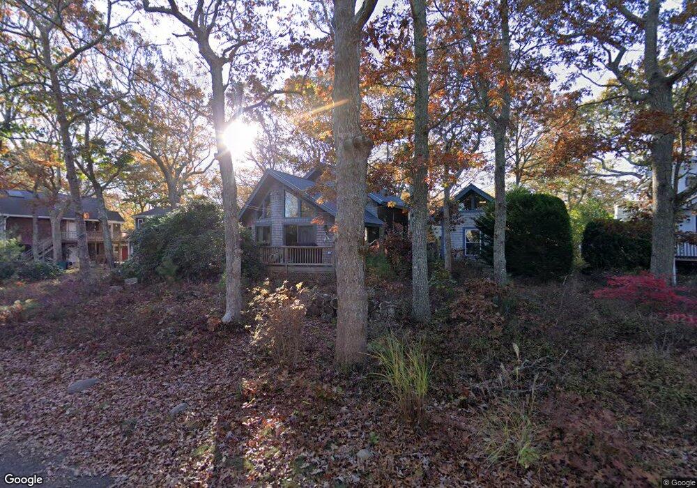
110 Leonard Cir Vineyard Haven, MA 02568
Vineyard Haven NeighborhoodEstimated Value: $986,226 - $1,146,000
3
Beds
2
Baths
1,103
Sq Ft
$994/Sq Ft
Est. Value
About This Home
This home is located at 110 Leonard Cir, Vineyard Haven, MA 02568 and is currently estimated at $1,096,557, approximately $994 per square foot. 110 Leonard Cir is a home located in Dukes County with nearby schools including Tisbury Elementary School, Martha's Vineyard Regional High School, and Vineyard Montessori School.
Ownership History
Date
Name
Owned For
Owner Type
Purchase Details
Closed on
Jul 23, 1997
Sold by
Gombos Paul L and Gombos Eileen A
Bought by
Phillips Kathleen
Current Estimated Value
Home Financials for this Owner
Home Financials are based on the most recent Mortgage that was taken out on this home.
Original Mortgage
$108,000
Interest Rate
7.7%
Mortgage Type
Purchase Money Mortgage
Create a Home Valuation Report for This Property
The Home Valuation Report is an in-depth analysis detailing your home's value as well as a comparison with similar homes in the area
Home Values in the Area
Average Home Value in this Area
Purchase History
| Date | Buyer | Sale Price | Title Company |
|---|---|---|---|
| Phillips Kathleen | $135,000 | -- |
Source: Public Records
Mortgage History
| Date | Status | Borrower | Loan Amount |
|---|---|---|---|
| Open | Phillips Kathleen | $273,000 | |
| Closed | Phillips Kathleen | $243,750 | |
| Closed | Phillips Kathleen | $108,000 |
Source: Public Records
Tax History
| Year | Tax Paid | Tax Assessment Tax Assessment Total Assessment is a certain percentage of the fair market value that is determined by local assessors to be the total taxable value of land and additions on the property. | Land | Improvement |
|---|---|---|---|---|
| 2025 | $6,668 | $880,800 | $443,200 | $437,600 |
| 2024 | $5,789 | $725,500 | $385,400 | $340,100 |
| 2023 | $5,234 | $715,000 | $367,000 | $348,000 |
| 2022 | $5,100 | $586,200 | $231,000 | $355,200 |
| 2021 | $4,587 | $500,200 | $231,000 | $269,200 |
| 2020 | $4,130 | $442,700 | $210,000 | $232,700 |
| 2019 | $4,198 | $457,800 | $210,000 | $247,800 |
| 2018 | $3,535 | $374,100 | $202,500 | $171,600 |
| 2017 | $3,477 | $381,700 | $202,500 | $179,200 |
| 2016 | $3,026 | $330,300 | $180,000 | $150,300 |
| 2015 | $2,723 | $305,300 | $155,000 | $150,300 |
Source: Public Records
Map
Nearby Homes
- 113 Leonard Cir
- 22 Clark Ave
- 22 Old Lighthouse Rd
- 16 Frog Hollow
- 150 Cove Rd Unit 10
- 185 Sandpiper Ln Unit 12
- 33 Goethals Way
- 95 Tashmoo Ave
- 5 Pine Tree Ln
- 151 Tashmoo Ave
- 28 Pine Tree Ln
- 241 Daggett Ave
- 116 Franklin Terrace
- 9 Hagerty Dr
- 268 Tashmoo Ave
- 735 Franklin St
- 140 Midland Ave
- 344 Greenwood Ave
- 70 Spring St
- 4 Lagoon Pond Rd
- 415 Franklin St
- 102 Leonard Cir
- 18 Leonard Cir
- 20 Leonard Cir
- 111 Leonard Cir
- 397 Franklin St
- 90 Leonard Cir
- 113 Leonard Circle Vh429 Unit 1
- 101 Leonard Cir
- 34 Leonard Cir
- 21 Leonard Cir
- 8 Clark Ave
- 404 Franklin St
- 190 Bernard Cir
- 180 Bernard Cir
- 13 Leonard Cir
- 89 Leonard Cir
- 7 Clark Ave
- 14 Boxberry Ave
- 170 Bernard Cir
Your Personal Tour Guide
Ask me questions while you tour the home.