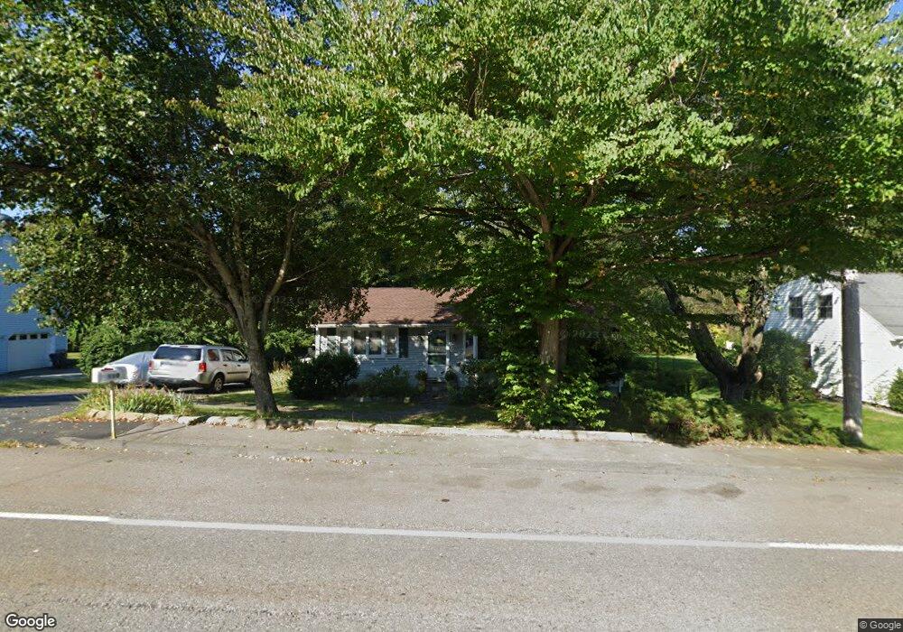
110 Marlboro Rd Southborough, MA 01772
Estimated Value: $536,000 - $737,000
2
Beds
2
Baths
1,836
Sq Ft
$353/Sq Ft
Est. Value
About This Home
This home is located at 110 Marlboro Rd, Southborough, MA 01772 and is currently estimated at $647,659, approximately $352 per square foot. 110 Marlboro Rd is a home located in Worcester County with nearby schools including Mary E Finn School, Albert S. Woodward Memorial School, and Margaret A. Neary School.
Ownership History
Date
Name
Owned For
Owner Type
Purchase Details
Closed on
Oct 25, 1999
Sold by
Baker Shawnee L and Schmitt Richard F
Bought by
Ziada Shohdy S and Ziada Gina H
Current Estimated Value
Purchase Details
Closed on
Feb 5, 1988
Sold by
Khoury Issam M
Bought by
Equitable Reloc Manag
Create a Home Valuation Report for This Property
The Home Valuation Report is an in-depth analysis detailing your home's value as well as a comparison with similar homes in the area
Home Values in the Area
Average Home Value in this Area
Purchase History
| Date | Buyer | Sale Price | Title Company |
|---|---|---|---|
| Ziada Shohdy S | $184,900 | -- | |
| Ziada Shohdy S | $184,900 | -- | |
| Equitable Reloc Manag | $159,666 | -- |
Source: Public Records
Mortgage History
| Date | Status | Borrower | Loan Amount |
|---|---|---|---|
| Open | Equitable Reloc Manag | $263,000 | |
| Closed | Equitable Reloc Manag | $180,000 |
Source: Public Records
Tax History Compared to Growth
Tax History
| Year | Tax Paid | Tax Assessment Tax Assessment Total Assessment is a certain percentage of the fair market value that is determined by local assessors to be the total taxable value of land and additions on the property. | Land | Improvement |
|---|---|---|---|---|
| 2025 | $6,709 | $485,800 | $230,400 | $255,400 |
| 2024 | $6,404 | $460,400 | $226,000 | $234,400 |
| 2023 | $6,424 | $435,200 | $216,300 | $218,900 |
| 2022 | $6,015 | $369,500 | $179,800 | $189,700 |
| 2021 | $5,745 | $354,400 | $161,300 | $193,100 |
| 2020 | $5,633 | $338,100 | $153,200 | $184,900 |
| 2019 | $5,518 | $329,600 | $150,400 | $179,200 |
| 2018 | $5,189 | $321,500 | $150,400 | $171,100 |
| 2017 | $5,174 | $315,900 | $150,400 | $165,500 |
| 2016 | $4,816 | $304,400 | $147,200 | $157,200 |
| 2015 | $4,554 | $284,300 | $152,000 | $132,300 |
Source: Public Records
Map
Nearby Homes
- 112 Marlboro Rd
- 112 Marlboro Rd Unit 1
- 108 Marlboro Rd
- 114 Marlboro Rd
- 106 Marlboro Rd
- 116 Marlboro Rd
- 103 Marlboro Rd
- 101 Marlboro Rd
- 118 Marlboro Rd
- 118 Marlboro Rd Unit 118
- 104 Marlboro Rd
- 99 Marlboro Rd
- 99 Marlboro Rd Unit 1
- 99 Marlboro Rd Unit 99
- 120 Marlboro Rd
- 11 Cross St
- 122 Marlboro Rd
- 12 Cross St
- 124 Marlboro Rd
- 102 Newton St