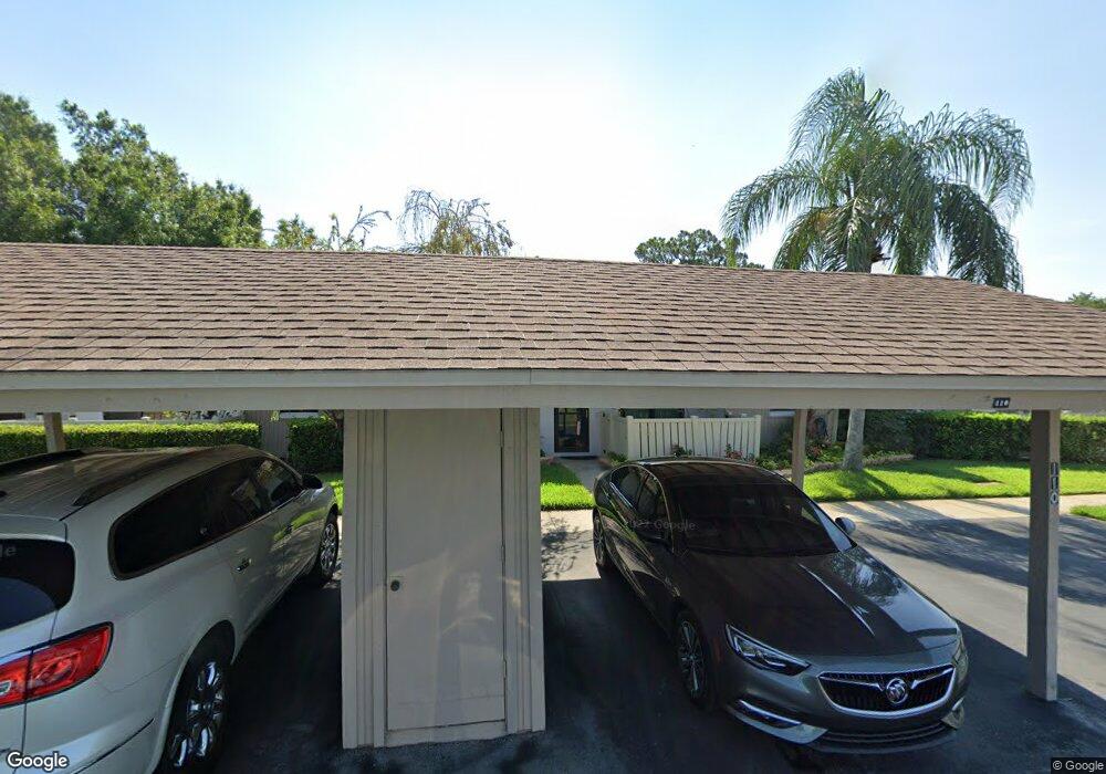
110 Michaels Cir Oldsmar, FL 34677
Estimated Value: $283,919 - $306,000
3
Beds
2
Baths
1,385
Sq Ft
$212/Sq Ft
Est. Value
About This Home
This home is located at 110 Michaels Cir, Oldsmar, FL 34677 and is currently estimated at $293,480, approximately $211 per square foot. 110 Michaels Cir is a home located in Pinellas County with nearby schools including Forest Lakes Elementary School, East Lake High School, and Joseph L. Carwise Middle School.
Ownership History
Date
Name
Owned For
Owner Type
Purchase Details
Closed on
Mar 29, 2016
Sold by
Secretary Of Housing & Urban Development
Bought by
Larsen David G and Larsen Cynthia P
Current Estimated Value
Purchase Details
Closed on
Jan 5, 2016
Sold by
Jpmorgan Chase Bank Na
Bought by
The Secretary Of Housing & Urban Develop
Purchase Details
Closed on
Jan 1, 2016
Bought by
Larsen David G
Purchase Details
Closed on
Sep 30, 2015
Sold by
East Lake Woodlands Cluster Homes and Bautz Glenn
Bought by
Jpmorgan Chase Bank Na
Purchase Details
Closed on
Jul 17, 2009
Sold by
Smeaton Suzanne M and Green John W
Bought by
Herr Rebecca L
Home Financials for this Owner
Home Financials are based on the most recent Mortgage that was taken out on this home.
Original Mortgage
$138,199
Interest Rate
5.37%
Mortgage Type
FHA
Purchase Details
Closed on
Jun 4, 2001
Sold by
Hood David D and Hood Rachel C
Bought by
Green Sandra M
Create a Home Valuation Report for This Property
The Home Valuation Report is an in-depth analysis detailing your home's value as well as a comparison with similar homes in the area
Home Values in the Area
Average Home Value in this Area
Purchase History
| Date | Buyer | Sale Price | Title Company |
|---|---|---|---|
| Larsen David G | $145,500 | Island Title Services Inc | |
| The Secretary Of Housing & Urban Develop | -- | Attorney | |
| Larsen David G | $100 | -- | |
| Jpmorgan Chase Bank Na | $104,000 | None Available | |
| Herr Rebecca L | $140,800 | Republic Land & Title Inc | |
| Green Sandra M | $104,000 | -- | |
| Hood Rachel C | -- | -- |
Source: Public Records
Mortgage History
| Date | Status | Borrower | Loan Amount |
|---|---|---|---|
| Previous Owner | Herr Rebecca L | $138,199 |
Source: Public Records
Tax History Compared to Growth
Tax History
| Year | Tax Paid | Tax Assessment Tax Assessment Total Assessment is a certain percentage of the fair market value that is determined by local assessors to be the total taxable value of land and additions on the property. | Land | Improvement |
|---|---|---|---|---|
| 2025 | $1,789 | $139,984 | -- | -- |
| 2024 | $1,742 | $136,039 | -- | -- |
| 2023 | $1,742 | $132,077 | $0 | $0 |
| 2022 | $1,679 | $128,230 | $0 | $0 |
| 2021 | $1,685 | $124,495 | $0 | $0 |
| 2020 | $1,674 | $122,776 | $0 | $0 |
| 2019 | $1,637 | $120,016 | $0 | $0 |
| 2018 | $1,608 | $117,778 | $0 | $0 |
| 2017 | $1,588 | $115,356 | $0 | $0 |
| 2016 | $2,480 | $117,426 | $0 | $0 |
| 2015 | $2,216 | $104,293 | $0 | $0 |
| 2014 | $961 | $83,625 | $0 | $0 |
Source: Public Records
Map
Nearby Homes
- 20 Sylvia Place
- 370 S Woodlands Dr
- 180 Ingrid Place
- 4858 Augusta Ave
- 100 Ingrid Place
- 219 Caryl Way Unit 219
- 50 Ingrid Place
- 206 Caryl Way Unit 1
- 214 Caryl Way
- 4859 Augusta Ave
- 140 Nina Way Unit 40
- 124 Nina Way Unit 24
- 113 Nina Way
- 4915 Augusta Ave
- 306 Martha Ln Unit 42
- 210 Martha Ln
- 129 Woodlake Wynde Unit 129
- 222 Woodlake Wynde Unit 22
- 204 Mary Dr
- 4874 Westchester Ct
- 120 Michaels Cir
- 100 Michaels Cir
- 130 Michaels Cir
- 90 Michaels Cir
- 140 Michaels Cir
- 80 Michaels Cir
- 80 Michaels Cir Unit 80
- 150 Michaels Cir
- 160 Michaels Cir
- 70 Michaels Cir
- 260 Michaels Cir
- 290 Michaels Cir
- 210 Michaels Cir Unit 21
- 280 Michaels Cir
- 300 Michaels Cir
- 60 Michaels Cir Unit 2
- 60 Michaels Cir
- 170 Michaels Cir
- 180 Michaels Cir
- 220 Michaels Cir
