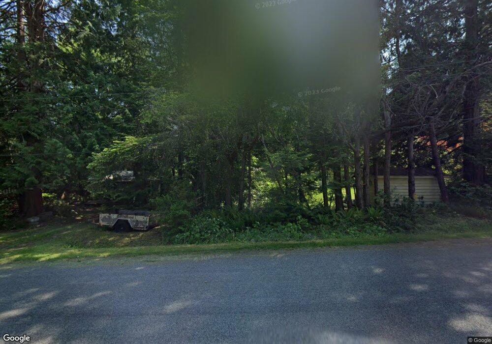
110 Monte Dr Point Roberts, WA 98281
Estimated Value: $161,000 - $268,000
--
Bed
1
Bath
484
Sq Ft
$411/Sq Ft
Est. Value
About This Home
This home is located at 110 Monte Dr, Point Roberts, WA 98281 and is currently estimated at $198,932, approximately $411 per square foot. 110 Monte Dr is a home located in Whatcom County with nearby schools including Point Roberts Primary School, Blaine Middle School, and Blaine High School.
Ownership History
Date
Name
Owned For
Owner Type
Purchase Details
Closed on
Sep 20, 2006
Sold by
Green Moira
Bought by
Waschuk James A and Waschuk Diana L
Current Estimated Value
Purchase Details
Closed on
Sep 18, 2000
Sold by
D Craig Gillespie Of Kelowna Bc
Bought by
Waschuk James A and Waschuk Dianna L
Home Financials for this Owner
Home Financials are based on the most recent Mortgage that was taken out on this home.
Original Mortgage
$24,500
Interest Rate
7.98%
Create a Home Valuation Report for This Property
The Home Valuation Report is an in-depth analysis detailing your home's value as well as a comparison with similar homes in the area
Home Values in the Area
Average Home Value in this Area
Purchase History
| Date | Buyer | Sale Price | Title Company |
|---|---|---|---|
| Waschuk James A | -- | None Available | |
| Waschuk James A | -- | Chicago Title Insurance Co |
Source: Public Records
Mortgage History
| Date | Status | Borrower | Loan Amount |
|---|---|---|---|
| Previous Owner | Waschuk James A | $24,500 |
Source: Public Records
Tax History Compared to Growth
Tax History
| Year | Tax Paid | Tax Assessment Tax Assessment Total Assessment is a certain percentage of the fair market value that is determined by local assessors to be the total taxable value of land and additions on the property. | Land | Improvement |
|---|---|---|---|---|
| 2024 | $1,075 | $111,792 | $40,953 | $70,839 |
| 2023 | $1,075 | $108,069 | $37,230 | $70,839 |
| 2022 | $967 | $98,693 | $34,000 | $64,693 |
| 2021 | $964 | $81,106 | $32,102 | $49,004 |
| 2020 | $966 | $75,098 | $29,724 | $45,374 |
| 2019 | $907 | $72,036 | $28,512 | $43,524 |
| 2018 | $726 | $64,759 | $25,632 | $39,127 |
| 2017 | $631 | $61,849 | $24,480 | $37,369 |
| 2016 | $763 | $60,636 | $24,000 | $36,636 |
| 2015 | $811 | $71,666 | $32,847 | $38,819 |
| 2014 | -- | $74,922 | $34,340 | $40,582 |
| 2013 | -- | $71,706 | $32,980 | $38,726 |
Source: Public Records
Map
Nearby Homes
- 1931 Sanders Ct Unit 11
- 1871 Johnson Rd
- 0 3 73 Acres Derby Ave
- 1 Mill Rd
- 2 Mill Rd
- 103 Goodman Rd
- 2145 Fir St
- 245 Shady Glen Ave
- 25 Roosevelt Way
- 8 Heather Way
- 125 Park Dr
- 2138 Benson Rd
- 2 Benson Rd
- 251 Elizabeth Dr
- Lot 2 Greenwood Dr
- 0 6 39 Acres South Beach Rd
- lot 14 Cedar Park Dr Unit 14
- 302 Boundary Bay Rd
- 4 Boundary Bay Rd
- Lot 35 Boundary Bay Rd
- 1952 Raleigh Dr
- 104 Monte Dr
- 1946 Raleigh Dr
- 1951 Province Rd
- 1933 Sanders Ct
- 1959 Province Rd
- 1962 Raleigh Dr
- 2 Sanders Ct
- 1931 Sanders Ct
- 1967 Raleigh Dr
- 1969 Province Rd
- 1950 Province Rd
- 1953 Raleigh Dr
- 1944 Province Rd
- 134 Monte Dr
- 1952 Cliff Rd
- 1960 Province Rd
- 1963 Raleigh Dr
- 1973 Province Rd
- 1925 Province Rd