110 Muirfield Dr Royersford, PA 19468
Limerick Township NeighborhoodEstimated Value: $618,943 - $701,000
4
Beds
3
Baths
2,125
Sq Ft
$304/Sq Ft
Est. Value
About This Home
This home is located at 110 Muirfield Dr, Royersford, PA 19468 and is currently estimated at $645,236, approximately $303 per square foot. 110 Muirfield Dr is a home located in Montgomery County with nearby schools including Brooke Elementary School, Spring-Ford Middle School 8th Grade Center, and Spring-Ford Middle School 5/6/7 Grade Center.
Ownership History
Date
Name
Owned For
Owner Type
Purchase Details
Closed on
Apr 7, 1994
Sold by
Fay Development Inc
Bought by
Kakareka Paul T and Kakareka Jacqueline M
Current Estimated Value
Purchase Details
Closed on
Jan 13, 1994
Sold by
Fay Development Inc
Bought by
Detweiler Steven L and Detweiler Jill D
Create a Home Valuation Report for This Property
The Home Valuation Report is an in-depth analysis detailing your home's value as well as a comparison with similar homes in the area
Home Values in the Area
Average Home Value in this Area
Purchase History
| Date | Buyer | Sale Price | Title Company |
|---|---|---|---|
| Kakareka Paul T | $179,780 | Industrial Valley Title Ins | |
| Detweiler Steven L | $162,900 | Industrial Valley Title Ins |
Source: Public Records
Tax History Compared to Growth
Tax History
| Year | Tax Paid | Tax Assessment Tax Assessment Total Assessment is a certain percentage of the fair market value that is determined by local assessors to be the total taxable value of land and additions on the property. | Land | Improvement |
|---|---|---|---|---|
| 2025 | $6,436 | $166,450 | $53,350 | $113,100 |
| 2024 | $6,436 | $166,450 | $53,350 | $113,100 |
| 2023 | $6,141 | $166,450 | $53,350 | $113,100 |
| 2022 | $5,933 | $166,450 | $53,350 | $113,100 |
| 2021 | $5,793 | $166,450 | $53,350 | $113,100 |
| 2020 | $5,646 | $166,450 | $53,350 | $113,100 |
| 2019 | $5,543 | $166,450 | $53,350 | $113,100 |
| 2018 | $4,269 | $166,450 | $53,350 | $113,100 |
| 2017 | $5,441 | $166,450 | $53,350 | $113,100 |
| 2016 | $5,376 | $166,450 | $53,350 | $113,100 |
| 2015 | $5,248 | $166,450 | $53,350 | $113,100 |
| 2014 | $5,144 | $166,450 | $53,350 | $113,100 |
Source: Public Records
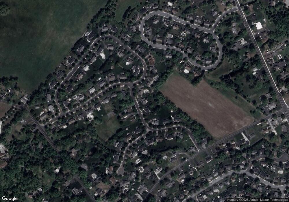
Map
Nearby Homes
- 420 N Lewis Rd
- 610 King Rd
- 25 Walters Ln
- 1808 Foxmeadow Cir Unit CONDO 1808
- 1308 Foxmeadow Dr Unit CONDO 1308
- 1411 Stratford Ct Unit CONDO 1411
- 801 Horseshoe Dr Unit 801
- 646 Elm St
- 545 N Lewis Rd
- 602 Summit Dr
- 511 Linfield Rd
- 523 W Linfield Rd
- 523 Linfield Rd #Carlton Grand
- The Carlton Plan at Alderwood Run
- The Sutton Grand Plan at Alderwood Run
- The Sutton Plan at Alderwood Run
- The Carlton Grand Plan at Alderwood Run
- 429 Church St
- 0 Main St Unit PAMC2088436
- 16 Long Meadow Rd
- 108 Muirfield Dr
- 112 Muirfield Dr
- 318 Tavistock Dr
- 106 Muirfield Dr
- 111 Muirfield Dr
- 109 Muirfield Dr
- 104 Muirfield Dr
- 107 Muirfield Dr
- 313 Tavistock Dr
- 201 Springhaven Cir
- 320 Tavistock Dr
- 316 Tavistock Dr
- 102 Muirfield Dr
- 311 Tavistock Dr
- 202 Springhaven Cir
- 322 Tavistock Dr
- 314 Tavistock Dr
- 315 Tavistock Dr
- 105 Muirfield Dr
- 211 Springhaven Cir