110 N Cay Dr SE Milledgeville, GA 31061
Estimated Value: $732,002 - $820,000
--
Bed
2
Baths
2,460
Sq Ft
$315/Sq Ft
Est. Value
About This Home
This home is located at 110 N Cay Dr SE, Milledgeville, GA 31061 and is currently estimated at $774,001, approximately $314 per square foot. 110 N Cay Dr SE is a home located in Putnam County with nearby schools including Putnam County Primary School, Putnam County Elementary School, and Putnam County Middle School.
Ownership History
Date
Name
Owned For
Owner Type
Purchase Details
Closed on
Mar 27, 2020
Sold by
Cook Martha B
Bought by
Buchanan Jerry W and Buchanan Darlene M
Current Estimated Value
Purchase Details
Closed on
Aug 20, 2010
Sold by
Cook Martha B
Bought by
Farmer James
Purchase Details
Closed on
Feb 24, 2003
Sold by
Cook Woodrow W and Cook Martha
Bought by
Cook Martha B
Purchase Details
Closed on
Dec 19, 1979
Sold by
Rawlins John H
Bought by
Cook Woodrow W and Cook Martha
Purchase Details
Closed on
Sep 25, 1977
Sold by
Motton Jams H
Bought by
Rawlins John H
Purchase Details
Closed on
Sep 25, 1976
Bought by
Motton Jams H
Create a Home Valuation Report for This Property
The Home Valuation Report is an in-depth analysis detailing your home's value as well as a comparison with similar homes in the area
Home Values in the Area
Average Home Value in this Area
Purchase History
| Date | Buyer | Sale Price | Title Company |
|---|---|---|---|
| Buchanan Jerry W | $315,000 | -- | |
| Farmer James | -- | -- | |
| Farmer James | -- | -- | |
| Cook Martha B | -- | -- | |
| Cook Woodrow W | $52,800 | -- | |
| Rawlins John H | $13,300 | -- | |
| Motton Jams H | -- | -- |
Source: Public Records
Tax History Compared to Growth
Tax History
| Year | Tax Paid | Tax Assessment Tax Assessment Total Assessment is a certain percentage of the fair market value that is determined by local assessors to be the total taxable value of land and additions on the property. | Land | Improvement |
|---|---|---|---|---|
| 2024 | $3,959 | $300,365 | $92,000 | $208,365 |
| 2023 | $2,616 | $170,640 | $92,000 | $78,640 |
| 2022 | $2,613 | $142,233 | $92,000 | $50,233 |
| 2021 | $2,643 | $126,889 | $92,000 | $34,889 |
| 2020 | $2,987 | $123,289 | $89,100 | $34,189 |
| 2019 | $1,242 | $122,952 | $89,100 | $33,852 |
| 2018 | $1,315 | $121,454 | $89,100 | $32,354 |
| 2017 | $1,187 | $121,454 | $89,100 | $32,354 |
Source: Public Records
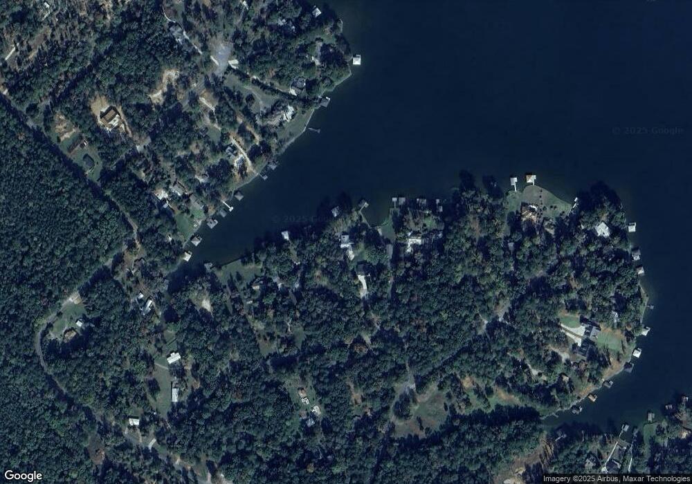
Map
Nearby Homes
- 102 C S Cay Dr
- 102 D S Cay Dr
- 102 B S Cay Dr
- 108 S Cay Dr SE
- l Brer Rabbit Trail
- 104 Willow Trace Ct
- 119 Cherry Point
- 100 Bark Cir
- 000 Pine Knoll Ln
- 144 Willow Forest Rd
- 106 Birch Cove
- 166 Oak Leaf Cir
- 168 Oak Leaf Cir
- 145 Oak Leaf Cir
- 114 Sinclair Ln
- 0 Pine Knoll Ln Unit 10595913
- 114 Oak Leaf Cir
- 105 Sands Dr
- 108 N Cay Dr SE
- 112 N Cay Dr SE
- 106 N Cay Dr SE
- 114 N Cay Dr SE
- 104 N Cay Dr SE
- 116 N Cay Dr SE
- 102 N Cay Dr SE
- 102 N Cay Dr SE
- 118 N Cay Dr SE
- 122A Brer Bear Ln SE
- 122 Brer Bear Ln SE
- 120 N Cay Dr SE
- 107 S Cay Dr SE
- 106 Brer Bear Ln SE
- 120 Brer Bear Ln SE
- 104 Brer Bear Ln SE
- 8 Cay Dr
- 8 Cay Dr
- 102 Cay Dr SE
- 113 S Cay Dr SE