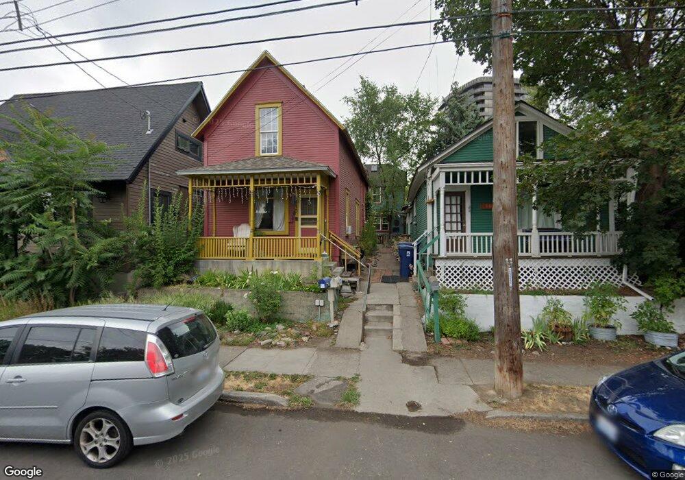
110 N Cedar St Spokane, WA 99201
Peaceful Valley NeighborhoodEstimated Value: $311,000 - $404,000
4
Beds
3
Baths
1,862
Sq Ft
$183/Sq Ft
Est. Value
About This Home
This home is located at 110 N Cedar St, Spokane, WA 99201 and is currently estimated at $341,185, approximately $183 per square foot. 110 N Cedar St is a home located in Spokane County with nearby schools including Roosevelt Elementary School, Sacajawea Middle School, and Lewis & Clark High School.
Ownership History
Date
Name
Owned For
Owner Type
Purchase Details
Closed on
Aug 10, 2001
Sold by
Barr Michael R and Bendixen Kathleen A
Bought by
Jewell Gary L and Yoder Janice E
Current Estimated Value
Home Financials for this Owner
Home Financials are based on the most recent Mortgage that was taken out on this home.
Original Mortgage
$15,000
Interest Rate
8%
Mortgage Type
Purchase Money Mortgage
Create a Home Valuation Report for This Property
The Home Valuation Report is an in-depth analysis detailing your home's value as well as a comparison with similar homes in the area
Home Values in the Area
Average Home Value in this Area
Purchase History
| Date | Buyer | Sale Price | Title Company |
|---|---|---|---|
| Jewell Gary L | -- | First American Title Ins | |
| Jewell Gary L | $56,000 | First American Title Ins |
Source: Public Records
Mortgage History
| Date | Status | Borrower | Loan Amount |
|---|---|---|---|
| Previous Owner | Jewell Gary L | $15,000 |
Source: Public Records
Tax History Compared to Growth
Tax History
| Year | Tax Paid | Tax Assessment Tax Assessment Total Assessment is a certain percentage of the fair market value that is determined by local assessors to be the total taxable value of land and additions on the property. | Land | Improvement |
|---|---|---|---|---|
| 2025 | $3,145 | $378,200 | $105,000 | $273,200 |
| 2024 | $3,145 | $316,700 | $100,000 | $216,700 |
| 2023 | $3,561 | $346,700 | $65,000 | $281,700 |
| 2022 | $3,013 | $364,000 | $65,000 | $299,000 |
| 2021 | $2,799 | $235,150 | $24,250 | $210,900 |
| 2020 | $2,683 | $217,150 | $24,250 | $192,900 |
| 2019 | $2,340 | $195,650 | $24,250 | $171,400 |
| 2018 | $2,473 | $177,650 | $24,250 | $153,400 |
| 2017 | $2,161 | $158,050 | $24,250 | $133,800 |
| 2016 | $2,158 | $154,450 | $24,250 | $130,200 |
| 2015 | $2,086 | $146,050 | $24,250 | $121,800 |
| 2014 | -- | $138,500 | $25,000 | $113,500 |
| 2013 | -- | $0 | $0 | $0 |
Source: Public Records
Map
Nearby Homes
- 1415 W 67th Ave
- 1415 W 67th Ave Unit Lot 1 Block 4 - Tale
- 1221 W Railroad Alley #9 Alley Unit 9
- 1810 W Summit Pkwy
- 1512 W College Ave
- 614 N Oak St
- 1827 W Bridge Ave
- 1229 W Broadway Ave
- 809 W Main Ave Unit 304
- LOT W 3rd Ave
- 1927 W Riverside Ave
- 170 S Lincoln St Unit 200
- 1318 W Mallon Ave
- 220 S Elm St
- 1403 W 5th Ave Unit K
- 517 S Maple St
- 1602 W 68th Ave
- 1624 68th Ave
- 1918 W Broadway Ave
- 1638 W 68th Ave
- 108 N Cedar St
- 112 N Cedar St
- 104 N Cedar St
- 1403 W Main Ave
- 1408 W Clarke Ave
- 1401 W Clarke Ave
- 1413 W Main Ave
- 1414 W Clarke Ave
- 17 N Cedar St
- 1402 W Main Ave
- 1417 W Main Ave
- 1411 W Clarke Ave
- 1418 W Clarke Ave
- 1406 W Wilson Ave
- 13 N Cedar St
- 1410 W Main Ave
- 1422 W Clarke Ave
- 1405 W Water Ave Unit 101
- 1405 W Water Ave Unit 102
- 1405 W Water Ave Unit 202