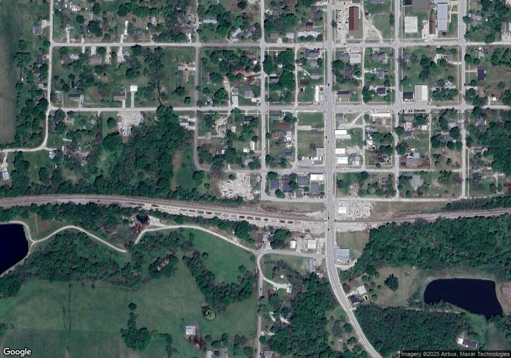
110 N Linn St Bevier, MO 63532
Estimated Value: $64,192 - $116,000
2
Beds
--
Bath
768
Sq Ft
$109/Sq Ft
Est. Value
About This Home
This home is located at 110 N Linn St, Bevier, MO 63532 and is currently estimated at $83,798, approximately $109 per square foot. 110 N Linn St is a home with nearby schools including Bevier Elementary School and Bevier High School.
Ownership History
Date
Name
Owned For
Owner Type
Purchase Details
Closed on
May 18, 2020
Sold by
Mattingley Cheyenne N and Mattingley Dakota L
Bought by
Sapp Brooke
Current Estimated Value
Home Financials for this Owner
Home Financials are based on the most recent Mortgage that was taken out on this home.
Original Mortgage
$20,000
Outstanding Balance
$10,155
Interest Rate
3.3%
Mortgage Type
Construction
Estimated Equity
$73,643
Purchase Details
Closed on
Nov 4, 2016
Sold by
Shelmadine Ronald R and Shelmadine Kimberly L
Bought by
Mattingley Cheyenne N and Mattingley Dakota L
Create a Home Valuation Report for This Property
The Home Valuation Report is an in-depth analysis detailing your home's value as well as a comparison with similar homes in the area
Purchase History
| Date | Buyer | Sale Price | Title Company |
|---|---|---|---|
| Sapp Brooke | $25,000 | American Title Abstract | |
| Mattingley Cheyenne N | -- | White Abs Co |
Source: Public Records
Mortgage History
| Date | Status | Borrower | Loan Amount |
|---|---|---|---|
| Open | Sapp Brooke | $20,000 |
Source: Public Records
Tax History
| Year | Tax Paid | Tax Assessment Tax Assessment Total Assessment is a certain percentage of the fair market value that is determined by local assessors to be the total taxable value of land and additions on the property. | Land | Improvement |
|---|---|---|---|---|
| 2025 | $172 | $2,800 | $100 | $2,700 |
| 2024 | $2 | $2,480 | $0 | $0 |
| 2023 | $172 | $2,480 | $0 | $0 |
| 2022 | $165 | $2,480 | $0 | $0 |
| 2021 | $164 | $2,380 | $0 | $0 |
| 2020 | $165 | $2,380 | $0 | $0 |
| 2019 | $164 | $2,380 | $2,380 | $0 |
| 2018 | $159 | $2,380 | $2,380 | $0 |
| 2017 | $157 | $12,510 | $480 | $12,030 |
| 2016 | $153 | $2,380 | $0 | $0 |
| 2015 | -- | $2,300 | $0 | $0 |
| 2014 | -- | $2,300 | $0 | $0 |
| 2012 | -- | $1,470 | $0 | $0 |
Source: Public Records
Map
Nearby Homes
- Lot 1,2,3 36
- 25596 Southwest Blvd
- 1706 Robin Hood Ln
- 1803,1805 Robin Hood Ln
- 1708 Robin Hood Ln
- 1903 W Shore Dr
- 27836 Southwest Blvd
- 29601 Cottonwood Ln
- 1305 Pine Dr
- 25998 Hemlock Rd
- 203 S Hudson St
- 204 Duff St
- 503 Covey Rise Ln
- 110 Lamb Ave
- 102 W 2nd St
- 707 N Rubey St
- 801 Jackson St
- 205 S Rutherford St
- 302 Jackson St
- 902 S Rollins St
- 203 N Linn St
- 200 N Linn St
- 109 W Platte St
- 000 W Linn St
- 207 N Linn St
- 120 Round House Rd
- 207 Carroll St
- 211 N Linn St
- 200 W Gentry St
- 206 N Macon St
- 000 State Highway C
- 0 State Highway C
- 030 acres Hamilton
- 302 N Linn St
- 211 W Gentry St
- 108 E Elvira St
- 208 S Linn St
- 201 S Macon St
- 304 N Linn St
- 305 N Linn St
