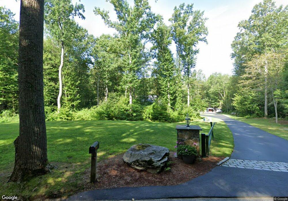
110 N Tower Hill Rd Killingworth, CT 06419
Estimated Value: $624,000 - $707,000
3
Beds
3
Baths
2,224
Sq Ft
$295/Sq Ft
Est. Value
About This Home
This home is located at 110 N Tower Hill Rd, Killingworth, CT 06419 and is currently estimated at $656,943, approximately $295 per square foot. 110 N Tower Hill Rd is a home with nearby schools including Haddam-Killingworth High School.
Ownership History
Date
Name
Owned For
Owner Type
Purchase Details
Closed on
Dec 10, 2024
Sold by
Reznik Eben
Bought by
Reznik Eben and Reznik Debra
Current Estimated Value
Purchase Details
Closed on
Oct 22, 1999
Sold by
Mattioli Marie
Bought by
Bruce Robert U
Create a Home Valuation Report for This Property
The Home Valuation Report is an in-depth analysis detailing your home's value as well as a comparison with similar homes in the area
Home Values in the Area
Average Home Value in this Area
Purchase History
| Date | Buyer | Sale Price | Title Company |
|---|---|---|---|
| Reznik Eben | -- | None Available | |
| Bruce Robert U | $7,000 | -- | |
| Bruce Robert U | $7,000 | -- |
Source: Public Records
Mortgage History
| Date | Status | Borrower | Loan Amount |
|---|---|---|---|
| Previous Owner | Bruce Robert U | $250,000 | |
| Previous Owner | Bruce Robert U | $75,000 | |
| Previous Owner | Bruce Robert U | $35,000 |
Source: Public Records
Tax History Compared to Growth
Tax History
| Year | Tax Paid | Tax Assessment Tax Assessment Total Assessment is a certain percentage of the fair market value that is determined by local assessors to be the total taxable value of land and additions on the property. | Land | Improvement |
|---|---|---|---|---|
| 2025 | $7,903 | $301,420 | $76,790 | $224,630 |
| 2024 | $7,300 | $301,420 | $76,790 | $224,630 |
| 2023 | $7,074 | $301,420 | $76,790 | $224,630 |
| 2022 | $6,999 | $301,420 | $76,790 | $224,630 |
| 2021 | $5,374 | $255,280 | $80,290 | $174,990 |
| 2020 | $4,770 | $255,280 | $80,290 | $174,990 |
| 2019 | $7,013 | $255,280 | $80,290 | $174,990 |
| 2018 | $7,013 | $255,280 | $80,290 | $174,990 |
| 2017 | $7,013 | $255,280 | $80,290 | $174,990 |
| 2016 | $6,760 | $261,110 | $120,430 | $140,680 |
| 2015 | $6,588 | $261,110 | $120,430 | $140,680 |
| 2014 | $2,439 | $99,440 | $99,440 | $0 |
Source: Public Records
Map
Nearby Homes
- 538 Winthrop Rd
- 37 Titus Coan Rd
- 8 Route 148
- 8 Butter Jones Rd
- 112 Cedar Swamp Rd
- 0 Glen Grove Rd
- 179 Route 81
- 33 Whitewood Rd
- 11 Pleasant Trail
- 8 Livemore Trail
- 14 Kenilworth Dr
- 10 Whitewood Rd
- 262 Connecticut 81
- 200 Westbrook Rd
- 0 Kelseytown Bridge Rd
- 25 Kelseytown Bridge Rd
- 24 Boulder Trail
- 115 Hemlock Dr
- 25 Roast Meat Hill Rd
- 97 Bushy Hill Rd
- 83 Tower Hill Rd
- 71 Tower Hill Rd
- 100 Tower Hill Rd
- 106 N Tower Hill Rd
- 110 Tower Hill Rd
- 106 Tower Hill Rd
- 90 Tower Hill Rd
- 94 Tower Hill Rd
- 102 Tower Hill Rd
- 104 Tower Hill Rd
- 104 Tower Hill Rd
- 72 Tower Hill Rd
- 65 Tower Hill Rd
- 66 Tower Hill Rd
- 31 Route 80
- 37 Route 80
- 62 Tower Hill Rd
- 62 N Tower Hill Rd
- 15 Route 80
- 53 Route 80