110 Oak Ln Somerset, MA 02726
Somerset Reservoir NeighborhoodEstimated Value: $678,689 - $788,000
4
Beds
3
Baths
1,914
Sq Ft
$375/Sq Ft
Est. Value
About This Home
This home is located at 110 Oak Ln, Somerset, MA 02726 and is currently estimated at $717,172, approximately $374 per square foot. 110 Oak Ln is a home located in Bristol County with nearby schools including North Elementary School, Somerset Middle School, and SCEC Life Academy.
Ownership History
Date
Name
Owned For
Owner Type
Purchase Details
Closed on
Jan 12, 2015
Sold by
Massa 3Rd Miguel S and Massa Ann M
Bought by
Miguel S Massa 3Rd Irt
Current Estimated Value
Purchase Details
Closed on
May 29, 1998
Sold by
Greene Tracy R and Rafter Tracy R
Bought by
Massa Miguel S and Massa Ann Marie
Home Financials for this Owner
Home Financials are based on the most recent Mortgage that was taken out on this home.
Original Mortgage
$163,000
Interest Rate
7.12%
Mortgage Type
Purchase Money Mortgage
Purchase Details
Closed on
Mar 22, 1996
Sold by
Warner Richard W and Warner Janice
Bought by
Greene Mark K and Greene Tracy R
Create a Home Valuation Report for This Property
The Home Valuation Report is an in-depth analysis detailing your home's value as well as a comparison with similar homes in the area
Home Values in the Area
Average Home Value in this Area
Purchase History
| Date | Buyer | Sale Price | Title Company |
|---|---|---|---|
| Miguel S Massa 3Rd Irt | -- | -- | |
| Miguel S Massa 3Rd Irt | -- | -- | |
| Massa Miguel S | $204,500 | -- | |
| Massa Miguel S | $204,500 | -- | |
| Greene Mark K | $214,800 | -- | |
| Greene Mark K | $214,800 | -- |
Source: Public Records
Mortgage History
| Date | Status | Borrower | Loan Amount |
|---|---|---|---|
| Previous Owner | Greene Mark K | $110,000 | |
| Previous Owner | Greene Mark K | $163,000 | |
| Previous Owner | Greene Mark K | $19,000 |
Source: Public Records
Tax History Compared to Growth
Tax History
| Year | Tax Paid | Tax Assessment Tax Assessment Total Assessment is a certain percentage of the fair market value that is determined by local assessors to be the total taxable value of land and additions on the property. | Land | Improvement |
|---|---|---|---|---|
| 2025 | $7,745 | $582,300 | $200,700 | $381,600 |
| 2024 | $7,185 | $561,800 | $200,700 | $361,100 |
| 2023 | $6,445 | $508,300 | $182,200 | $326,100 |
| 2022 | $5,969 | $449,100 | $157,600 | $291,500 |
| 2021 | $6,028 | $410,600 | $142,600 | $268,000 |
| 2020 | $5,750 | $377,800 | $142,800 | $235,000 |
| 2019 | $6,462 | $354,100 | $142,800 | $211,300 |
| 2018 | $5,829 | $343,700 | $138,600 | $205,100 |
| 2017 | $5,796 | $333,100 | $138,600 | $194,500 |
| 2016 | $5,833 | $333,100 | $138,600 | $194,500 |
| 2015 | $5,646 | $325,400 | $147,800 | $177,600 |
| 2014 | $7,907 | $327,400 | $147,800 | $179,600 |
Source: Public Records
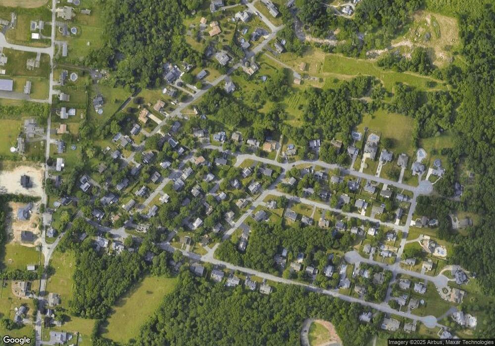
Map
Nearby Homes
- 435 Fairway Dr
- 107 Manchester Ave
- 259 Lynch Ave
- 64 Denham Ave
- 65 Marvel St
- 69 Denham Ave
- 601 Eastview Ave
- 112 Rounseville Ave
- 154 Tess Abigail Ln
- 3076 County St
- 165 Yankee Peddler Dr
- 3057 Clubhouse Dr
- 3055 Clubhouse Dr Unit 80
- 3051 Clubhouse Dr Unit 78
- 3049 Clubhouse Dr Unit 77
- 3035 Clubhouse Dr
- 3035 Clubhouse Dr Unit 8
- 3035 Clubhouse Dr Unit 7
- 3035 Clubhouse Dr Unit 6
- 3035 Clubhouse Dr Unit 5