110 Ohara Ave Newtonville, NJ 08346
Estimated Value: $248,000 - $342,000
3
Beds
1
Bath
1,056
Sq Ft
$277/Sq Ft
Est. Value
About This Home
This home is located at 110 Ohara Ave, Newtonville, NJ 08346 and is currently estimated at $292,010, approximately $276 per square foot. 110 Ohara Ave is a home located in Atlantic County with nearby schools including Buena Regional Middle School and Buena Regional High School.
Ownership History
Date
Name
Owned For
Owner Type
Purchase Details
Closed on
Mar 31, 2014
Sold by
Donovan Shaun
Bought by
Watson Carl and Watson Ladonna K
Current Estimated Value
Home Financials for this Owner
Home Financials are based on the most recent Mortgage that was taken out on this home.
Original Mortgage
$86,380
Outstanding Balance
$66,058
Interest Rate
4.5%
Mortgage Type
FHA
Estimated Equity
$225,952
Purchase Details
Closed on
Oct 16, 2013
Sold by
Mullin Walter and Mullin Frank
Bought by
Secretary Of Hud
Purchase Details
Closed on
Jul 18, 2001
Sold by
Ayres John and Ayres Dawn
Bought by
Mullin Walter and Mullin Frank
Home Financials for this Owner
Home Financials are based on the most recent Mortgage that was taken out on this home.
Original Mortgage
$87,310
Interest Rate
7.18%
Mortgage Type
FHA
Create a Home Valuation Report for This Property
The Home Valuation Report is an in-depth analysis detailing your home's value as well as a comparison with similar homes in the area
Home Values in the Area
Average Home Value in this Area
Purchase History
| Date | Buyer | Sale Price | Title Company |
|---|---|---|---|
| Watson Carl | $87,975 | Landis Title Corp | |
| Secretary Of Hud | $108,067 | None Available | |
| Mullin Walter | $88,000 | -- |
Source: Public Records
Mortgage History
| Date | Status | Borrower | Loan Amount |
|---|---|---|---|
| Open | Watson Carl | $86,380 | |
| Previous Owner | Mullin Walter | $87,310 |
Source: Public Records
Tax History Compared to Growth
Tax History
| Year | Tax Paid | Tax Assessment Tax Assessment Total Assessment is a certain percentage of the fair market value that is determined by local assessors to be the total taxable value of land and additions on the property. | Land | Improvement |
|---|---|---|---|---|
| 2025 | $4,507 | $147,300 | $51,400 | $95,900 |
| 2024 | $4,507 | $147,300 | $51,400 | $95,900 |
| 2023 | $4,348 | $147,300 | $51,400 | $95,900 |
| 2022 | $4,348 | $147,300 | $51,400 | $95,900 |
| 2021 | $4,256 | $147,300 | $51,400 | $95,900 |
| 2020 | $4,121 | $147,300 | $51,400 | $95,900 |
| 2019 | $3,886 | $147,300 | $51,400 | $95,900 |
| 2018 | $3,850 | $147,300 | $51,400 | $95,900 |
| 2017 | $3,817 | $147,300 | $51,400 | $95,900 |
| 2016 | $3,688 | $147,300 | $51,400 | $95,900 |
| 2015 | $3,618 | $147,300 | $51,400 | $95,900 |
| 2014 | $3,599 | $147,300 | $51,400 | $95,900 |
Source: Public Records
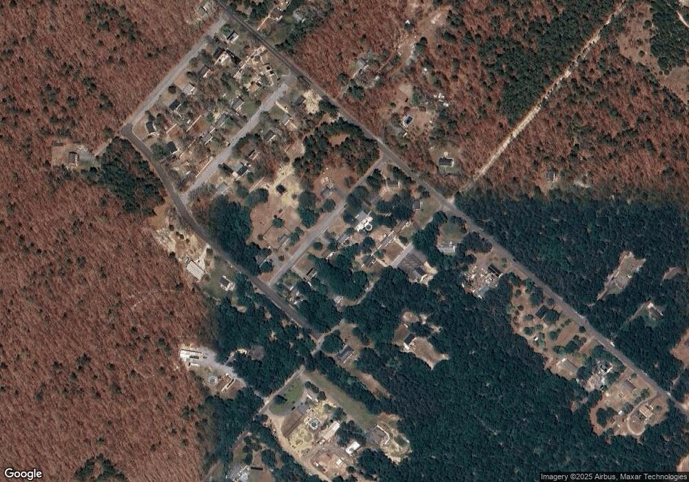
Map
Nearby Homes
- 451 9th St
- 716 6th Rd
- 00 11th St
- 515 6th Rd
- 1021 Route 54
- 3117 N Pinewood Dr
- 2216 Evergreen Dr
- 2212 Evergreen Dr
- 7571 Strand Ave
- 1206 Black Horse Park
- 1307 Black Horse Pike
- 7684 E Black Horse Pike
- 7491 Smith Ave
- 1022 Black Horse Pike
- 7640 Black Horse Pike
- 0 Perry St
- 244 Jackson Rd
- 747 Cains Mill Rd
- 7340 Venice Blvd
- 0 Walnut Ln