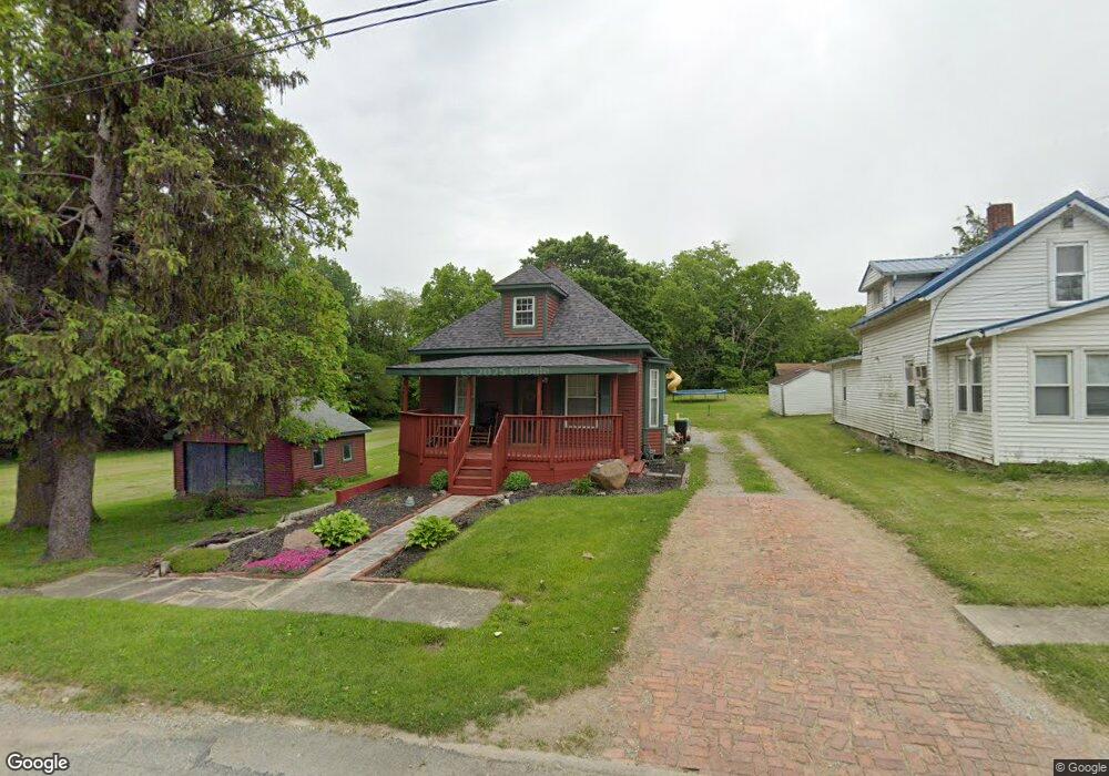
110 Oswalt St Antwerp, OH 45813
Estimated Value: $90,855 - $133,000
2
Beds
1
Bath
959
Sq Ft
$116/Sq Ft
Est. Value
About This Home
This home is located at 110 Oswalt St, Antwerp, OH 45813 and is currently estimated at $111,464, approximately $116 per square foot. 110 Oswalt St is a home located in Paulding County with nearby schools including Antwerp Local Elementary School and Antwerp Local High School.
Ownership History
Date
Name
Owned For
Owner Type
Purchase Details
Closed on
Jan 23, 2006
Sold by
Mccreery Jonathon L and Mccreery Amy
Bought by
Beregszazi Karri A
Current Estimated Value
Home Financials for this Owner
Home Financials are based on the most recent Mortgage that was taken out on this home.
Original Mortgage
$40,500
Outstanding Balance
$22,899
Interest Rate
6.37%
Mortgage Type
New Conventional
Estimated Equity
$88,565
Purchase Details
Closed on
Feb 25, 2004
Sold by
Meador Cynthia S
Bought by
Beregszazi Karri A
Purchase Details
Closed on
Oct 22, 2001
Sold by
Meador Van E
Bought by
Beregszazi Karri A
Create a Home Valuation Report for This Property
The Home Valuation Report is an in-depth analysis detailing your home's value as well as a comparison with similar homes in the area
Home Values in the Area
Average Home Value in this Area
Purchase History
| Date | Buyer | Sale Price | Title Company |
|---|---|---|---|
| Beregszazi Karri A | $45,000 | None Available | |
| Beregszazi Karri A | -- | -- | |
| Beregszazi Karri A | -- | -- |
Source: Public Records
Mortgage History
| Date | Status | Borrower | Loan Amount |
|---|---|---|---|
| Open | Beregszazi Karri A | $40,500 |
Source: Public Records
Tax History Compared to Growth
Tax History
| Year | Tax Paid | Tax Assessment Tax Assessment Total Assessment is a certain percentage of the fair market value that is determined by local assessors to be the total taxable value of land and additions on the property. | Land | Improvement |
|---|---|---|---|---|
| 2024 | $803 | $17,720 | $3,820 | $13,900 |
| 2023 | $803 | $17,720 | $3,820 | $13,900 |
| 2022 | $730 | $17,720 | $3,820 | $13,900 |
| 2021 | $678 | $14,710 | $3,540 | $11,170 |
| 2020 | $694 | $14,710 | $3,540 | $11,170 |
| 2019 | $702 | $13,690 | $3,540 | $10,150 |
| 2018 | $657 | $13,690 | $3,540 | $10,150 |
| 2017 | $657 | $13,690 | $3,540 | $10,150 |
| 2016 | $657 | $13,690 | $3,540 | $10,150 |
| 2015 | $631 | $13,200 | $3,190 | $10,010 |
| 2014 | $592 | $13,200 | $3,190 | $10,010 |
| 2013 | $649 | $13,200 | $3,190 | $10,010 |
Source: Public Records
Map
Nearby Homes
- 208 W River St
- 309 N Madison St
- 136 Maumee Ln
- 5092 Road 176
- 13149 Road 27b
- 3190 Road 204
- 1258 Road 192
- 16453 Road 63
- 25812 Maumee Center Rd
- 24212 River Rd
- 26100 Worden Rd
- TBD Allen Rd
- 4783 Legacy Cove
- 11309 State Route 49
- 4602 Indiana 101
- 5038 Chickadee Dr
- 24502 Indiana 37
- 11234 State Route 49
- 11051 Road 93
- 4974 Chickadee Dr