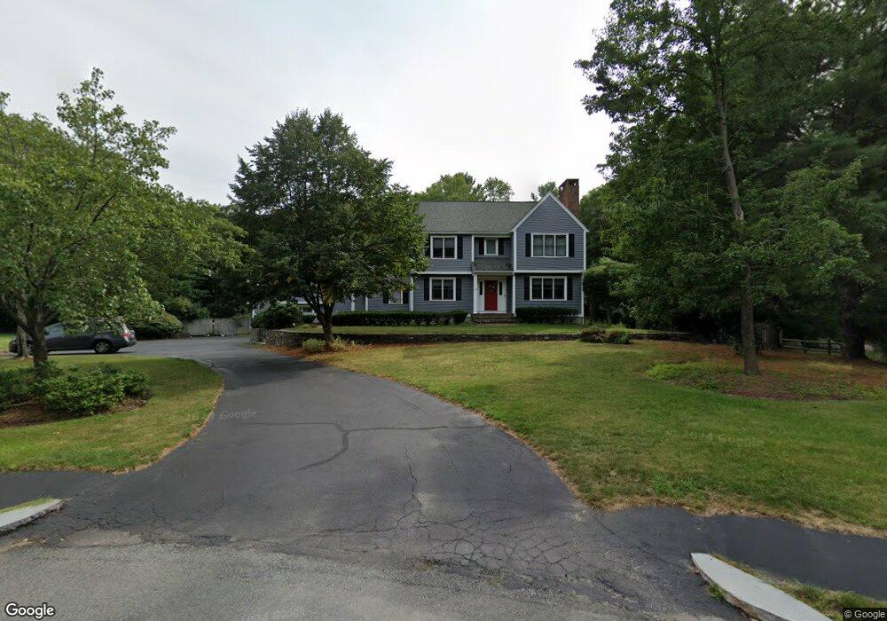
110 Patricia Dr Abington, MA 02351
Estimated Value: $936,000 - $1,217,000
4
Beds
5
Baths
4,143
Sq Ft
$250/Sq Ft
Est. Value
About This Home
This home is located at 110 Patricia Dr, Abington, MA 02351 and is currently estimated at $1,034,878, approximately $249 per square foot. 110 Patricia Dr is a home located in Plymouth County with nearby schools including Woodsdale School, Beaver Brook Elementary School, and Abington Middle School.
Ownership History
Date
Name
Owned For
Owner Type
Purchase Details
Closed on
Jul 15, 2011
Sold by
Inman Ernest D and Inman Betty J
Bought by
Trabucco Mark and Trabucco Erin
Current Estimated Value
Home Financials for this Owner
Home Financials are based on the most recent Mortgage that was taken out on this home.
Original Mortgage
$417,000
Outstanding Balance
$287,830
Interest Rate
4.58%
Mortgage Type
Purchase Money Mortgage
Estimated Equity
$747,048
Create a Home Valuation Report for This Property
The Home Valuation Report is an in-depth analysis detailing your home's value as well as a comparison with similar homes in the area
Home Values in the Area
Average Home Value in this Area
Purchase History
| Date | Buyer | Sale Price | Title Company |
|---|---|---|---|
| Trabucco Mark | $525,000 | -- |
Source: Public Records
Mortgage History
| Date | Status | Borrower | Loan Amount |
|---|---|---|---|
| Open | Trabucco Mark | $417,000 |
Source: Public Records
Tax History Compared to Growth
Tax History
| Year | Tax Paid | Tax Assessment Tax Assessment Total Assessment is a certain percentage of the fair market value that is determined by local assessors to be the total taxable value of land and additions on the property. | Land | Improvement |
|---|---|---|---|---|
| 2025 | $12,676 | $970,600 | $274,000 | $696,600 |
| 2024 | $12,803 | $956,900 | $279,400 | $677,500 |
| 2023 | $12,242 | $861,500 | $245,900 | $615,600 |
| 2022 | $12,178 | $800,100 | $204,000 | $596,100 |
| 2021 | $5,714 | $729,600 | $217,900 | $511,700 |
| 2020 | $11,705 | $688,500 | $189,100 | $499,400 |
| 2019 | $16,114 | $707,900 | $189,100 | $518,800 |
| 2018 | $3,269 | $652,600 | $189,100 | $463,500 |
| 2017 | $2,506 | $645,100 | $189,100 | $456,000 |
| 2016 | $11,074 | $617,600 | $181,200 | $436,400 |
| 2015 | $9,777 | $575,100 | $181,200 | $393,900 |
Source: Public Records
Map
Nearby Homes
- 451 Lincoln St
- 332 Hancock St
- 840 Hancock St
- 209 Hancock St
- 164 Hancock St
- 116 Hancock St
- 14 Kingswood Dr Unit 3
- 337 Randolph St
- 257 Rockland St Unit 257
- 14 Jamieson St
- 28 Pratt St
- 676 Bedford St
- 333 Groveland St
- 0 Bedford St
- 298 N Quincy St
- 1210 Washington St
- 1353 Washington St
- 193 Linwood St
- 18 Brookfield Dr
- 261 Jon Dr
- 122 Patricia Dr
- 98 Patricia Dr
- 91 Patricia Dr
- 27 Mulberry Dr
- 47 Mulberry Dr
- 11 Mulberry Dr
- 82 Patricia Dr
- 142 Patricia Dr
- 73 Patricia Dr
- 151 Patricia Dr
- 79 Loganberry Dr
- 71 Loganberry Dr
- 63 Mulberry Dr
- 20 Mulberry Dr
- 61 Loganberry Dr
- 201 Patricia Dr
- 62 Patricia Dr
- 91 Loganberry Dr
- 162 Patricia Dr
- 42 Mulberry Dr