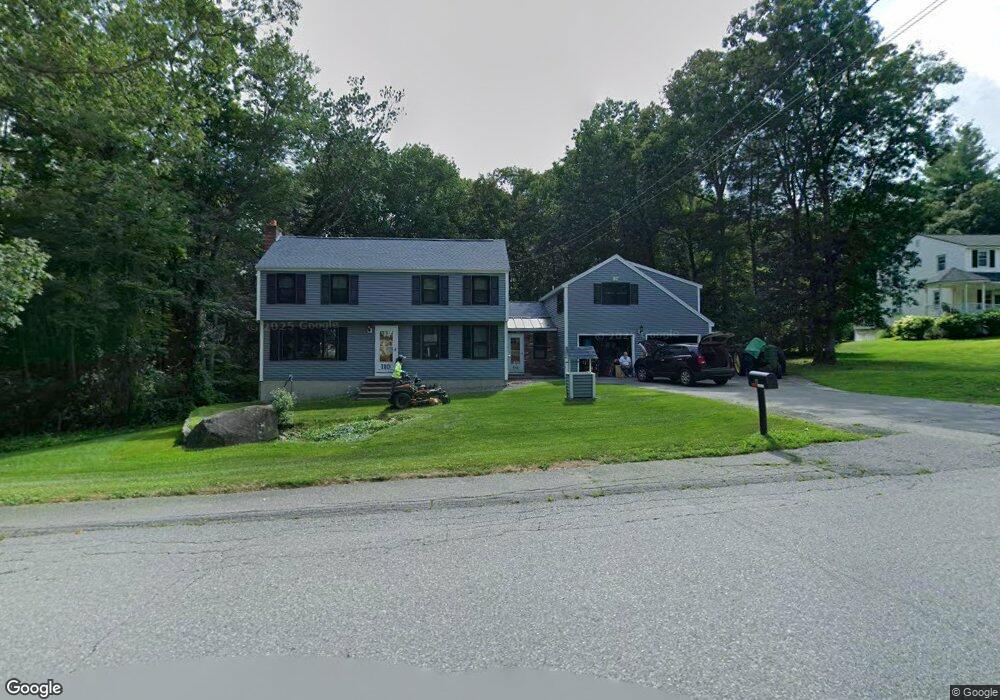
110 Pelczar Rd Dracut, MA 01826
Estimated Value: $772,000 - $813,000
3
Beds
2
Baths
2,752
Sq Ft
$287/Sq Ft
Est. Value
About This Home
This home is located at 110 Pelczar Rd, Dracut, MA 01826 and is currently estimated at $788,751, approximately $286 per square foot. 110 Pelczar Rd is a home located in Middlesex County with nearby schools including Joseph A. Campbell Elementary School, Richardson Middle School, and Dracut Senior High School.
Ownership History
Date
Name
Owned For
Owner Type
Purchase Details
Closed on
Jun 23, 1994
Sold by
Core Martha A
Bought by
Schaffer Stephen and Schaffer Judy
Current Estimated Value
Home Financials for this Owner
Home Financials are based on the most recent Mortgage that was taken out on this home.
Original Mortgage
$147,920
Interest Rate
8.74%
Mortgage Type
Purchase Money Mortgage
Create a Home Valuation Report for This Property
The Home Valuation Report is an in-depth analysis detailing your home's value as well as a comparison with similar homes in the area
Home Values in the Area
Average Home Value in this Area
Purchase History
| Date | Buyer | Sale Price | Title Company |
|---|---|---|---|
| Schaffer Stephen | $184,900 | -- |
Source: Public Records
Mortgage History
| Date | Status | Borrower | Loan Amount |
|---|---|---|---|
| Open | Schaffer Stephen | $160,000 | |
| Closed | Schaffer Stephen | $147,920 | |
| Previous Owner | Schaffer Stephen | $70,000 |
Source: Public Records
Tax History Compared to Growth
Tax History
| Year | Tax Paid | Tax Assessment Tax Assessment Total Assessment is a certain percentage of the fair market value that is determined by local assessors to be the total taxable value of land and additions on the property. | Land | Improvement |
|---|---|---|---|---|
| 2025 | $6,988 | $690,500 | $256,300 | $434,200 |
| 2024 | $6,813 | $652,000 | $244,300 | $407,700 |
| 2023 | $6,596 | $569,600 | $212,600 | $357,000 |
| 2022 | $6,412 | $521,700 | $193,400 | $328,300 |
| 2021 | $11,670 | $475,100 | $175,700 | $299,400 |
| 2020 | $5,544 | $447,600 | $170,400 | $277,200 |
| 2019 | $5,708 | $415,100 | $162,300 | $252,800 |
| 2018 | $5,713 | $404,000 | $162,300 | $241,700 |
| 2017 | $5,845 | $404,000 | $162,300 | $241,700 |
| 2016 | $5,785 | $389,800 | $163,100 | $226,700 |
| 2015 | $5,605 | $375,400 | $163,100 | $212,300 |
| 2014 | $5,235 | $361,300 | $163,100 | $198,200 |
Source: Public Records
Map
Nearby Homes
- 931 Methuen St Unit 6
- 820 Methuen St Unit 820
- 31 Varnum Ave
- 51 Bellevue Ave
- 14 Mount Pleasant Ave
- 821 Merrimack Ave
- 785 Broadway Rd
- 4 Hazelwood Ave Unit 12
- 12 Hayfield Rd
- 7 Wildwood St Unit A24
- 315 Broadway Rd Unit 7
- 173 Merrimack Meadows Ln Unit 162
- 173 Brook St
- 35 Thissell Ave
- 78 Merrimack Meadows Ln Unit 78
- 650 Robbins Ave Unit 33
- 675 Robbins Ave Unit 1
- 700 Robbins Ave Unit 6
- 11 View St
- 16 Winding Ln