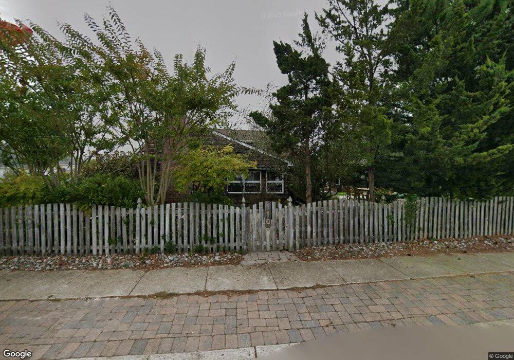
110 Pershing Blvd Lavallette, NJ 08735
Estimated Value: $2,194,202 - $3,117,000
3
Beds
2
Baths
2,713
Sq Ft
$977/Sq Ft
Est. Value
About This Home
This home is located at 110 Pershing Blvd, Lavallette, NJ 08735 and is currently estimated at $2,650,301, approximately $976 per square foot. 110 Pershing Blvd is a home located in Ocean County with nearby schools including Lavallette Elementary School.
Ownership History
Date
Name
Owned For
Owner Type
Purchase Details
Closed on
Oct 22, 2004
Sold by
Collins Ronald G
Bought by
Marino Daniel and Marino Catherine
Current Estimated Value
Home Financials for this Owner
Home Financials are based on the most recent Mortgage that was taken out on this home.
Original Mortgage
$880,000
Interest Rate
5.71%
Mortgage Type
Fannie Mae Freddie Mac
Create a Home Valuation Report for This Property
The Home Valuation Report is an in-depth analysis detailing your home's value as well as a comparison with similar homes in the area
Home Values in the Area
Average Home Value in this Area
Purchase History
| Date | Buyer | Sale Price | Title Company |
|---|---|---|---|
| Marino Daniel | $1,100,000 | -- |
Source: Public Records
Mortgage History
| Date | Status | Borrower | Loan Amount |
|---|---|---|---|
| Previous Owner | Marino Daniel | $880,000 |
Source: Public Records
Tax History Compared to Growth
Tax History
| Year | Tax Paid | Tax Assessment Tax Assessment Total Assessment is a certain percentage of the fair market value that is determined by local assessors to be the total taxable value of land and additions on the property. | Land | Improvement |
|---|---|---|---|---|
| 2025 | $9,867 | $1,043,000 | $691,300 | $351,700 |
| 2024 | $9,575 | $1,043,000 | $691,300 | $351,700 |
| 2023 | $8,907 | $1,043,000 | $691,300 | $351,700 |
| 2022 | $8,907 | $1,043,000 | $691,300 | $351,700 |
| 2021 | $8,615 | $1,043,000 | $691,300 | $351,700 |
| 2020 | $8,563 | $1,043,000 | $691,300 | $351,700 |
| 2019 | $9,080 | $927,500 | $659,000 | $268,500 |
| 2018 | $9,006 | $927,500 | $659,000 | $268,500 |
| 2017 | $9,099 | $927,500 | $659,000 | $268,500 |
| 2016 | $8,802 | $927,500 | $659,000 | $268,500 |
| 2015 | $8,616 | $927,500 | $659,000 | $268,500 |
| 2014 | $8,654 | $927,500 | $659,000 | $268,500 |
Source: Public Records
Map
Nearby Homes
- 151 Pershing Blvd
- 153 Pershing Blvd
- 72 Pershing Blvd
- 189 Pershing Blvd
- 47 Pershing Blvd
- 108 Dickman Dr
- 313 Shuster Ave
- 1919 Bay Blvd Unit B29
- 211 1st Ave
- 113 New Brunswick Ave
- 1806 Grand Central Ave Unit U10
- 2033 Route 35 N Unit 3
- 2033 New Jersey 35
- 118 Camden Ave
- 1605 Grand Central Ave Unit 1
- 419 Coolidge Ave
- 2030 New Jersey 35 Unit 8
- 8 Pennsylvania Ave
- 1707 Bay Blvd Unit 4
- 1 Diane Ln Unit A
- 108 Pershing Blvd
- 37 Morton Dr
- 39 Morton Dr
- 33 Morton Dr
- 31 Morton Dr
- 106 Pershing Blvd
- 29 Morton Dr
- 115 Pershing Blvd
- 117 Pershing Blvd
- 113 Pershing Blvd
- 102 Pershing Blvd
- 119 Pershing Blvd
- 27 Morton Dr
- 111 Pershing Blvd
- 36 Morton Dr
- 107 Pershing Blvd
- 124 Pershing Blvd
- 123 Pershing Blvd
- 34 Morton Dr
- 32 Morton Dr