110 Peter Menaker Rd New Marlborough, MA 01230
Estimated Value: $844,242 - $975,000
4
Beds
3
Baths
2,384
Sq Ft
$383/Sq Ft
Est. Value
About This Home
This home is located at 110 Peter Menaker Rd, New Marlborough, MA 01230 and is currently estimated at $913,747, approximately $383 per square foot. 110 Peter Menaker Rd is a home located in Berkshire County with nearby schools including Mt. Everett High School.
Ownership History
Date
Name
Owned For
Owner Type
Purchase Details
Closed on
Aug 7, 2001
Sold by
Lapland Inc
Bought by
Higgins Jason E and Higgins Jaime M
Current Estimated Value
Home Financials for this Owner
Home Financials are based on the most recent Mortgage that was taken out on this home.
Original Mortgage
$40,000
Interest Rate
7.14%
Mortgage Type
Purchase Money Mortgage
Create a Home Valuation Report for This Property
The Home Valuation Report is an in-depth analysis detailing your home's value as well as a comparison with similar homes in the area
Home Values in the Area
Average Home Value in this Area
Purchase History
| Date | Buyer | Sale Price | Title Company |
|---|---|---|---|
| Higgins Jason E | $50,000 | -- |
Source: Public Records
Mortgage History
| Date | Status | Borrower | Loan Amount |
|---|---|---|---|
| Open | Higgins Jason E | $257,500 | |
| Closed | Higgins Jason E | $40,000 |
Source: Public Records
Tax History Compared to Growth
Tax History
| Year | Tax Paid | Tax Assessment Tax Assessment Total Assessment is a certain percentage of the fair market value that is determined by local assessors to be the total taxable value of land and additions on the property. | Land | Improvement |
|---|---|---|---|---|
| 2025 | $5,075 | $731,300 | $326,000 | $405,300 |
| 2024 | $5,100 | $683,700 | $296,300 | $387,400 |
| 2023 | $5,142 | $614,300 | $268,700 | $345,600 |
| 2022 | $5,034 | $541,300 | $231,900 | $309,400 |
| 2021 | $4,600 | $462,800 | $195,200 | $267,600 |
| 2020 | $4,725 | $458,300 | $195,200 | $263,100 |
| 2019 | $4,385 | $424,100 | $184,900 | $239,200 |
| 2018 | $4,365 | $417,700 | $182,800 | $234,900 |
| 2017 | $4,204 | $429,000 | $191,400 | $237,600 |
| 2016 | $4,026 | $419,400 | $189,400 | $230,000 |
| 2015 | $3,901 | $413,200 | $185,100 | $228,100 |
Source: Public Records
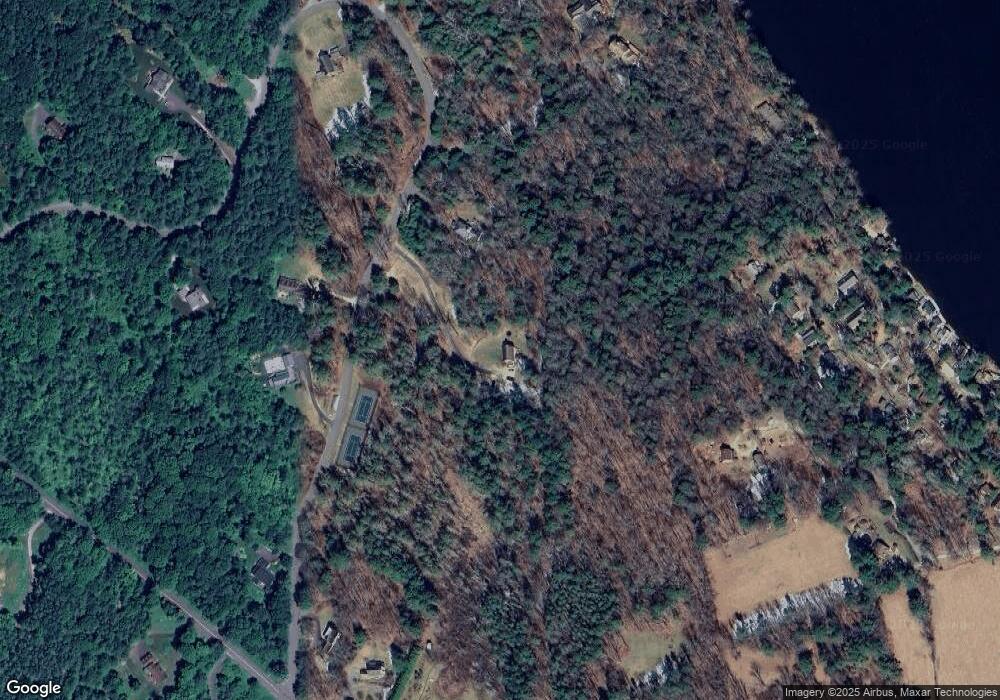
Map
Nearby Homes
- 247 Peter Menaker Rd
- 123 Bock Way
- 26 Pine St
- 51 Downs Rd
- 16 Heberts Cove
- 355 Adsit Crosby Rd
- 76 Corashire Rd
- 965 Mill River Great Barrington Rd
- 141 Stevens Lake Way
- 85 Main Rd
- 268-270 County Rd
- 0 Lake Buel Rd
- 458 Monterey Rd
- 312 County Rd
- 14 Blue Hill Rd
- 69 Corser Hill Rd
- 749 Hartsville New Marlboro Rd
- 416 Monterey Rd
- 3 Lake Buel Rd
- 426 New Marlborough Hill Rd