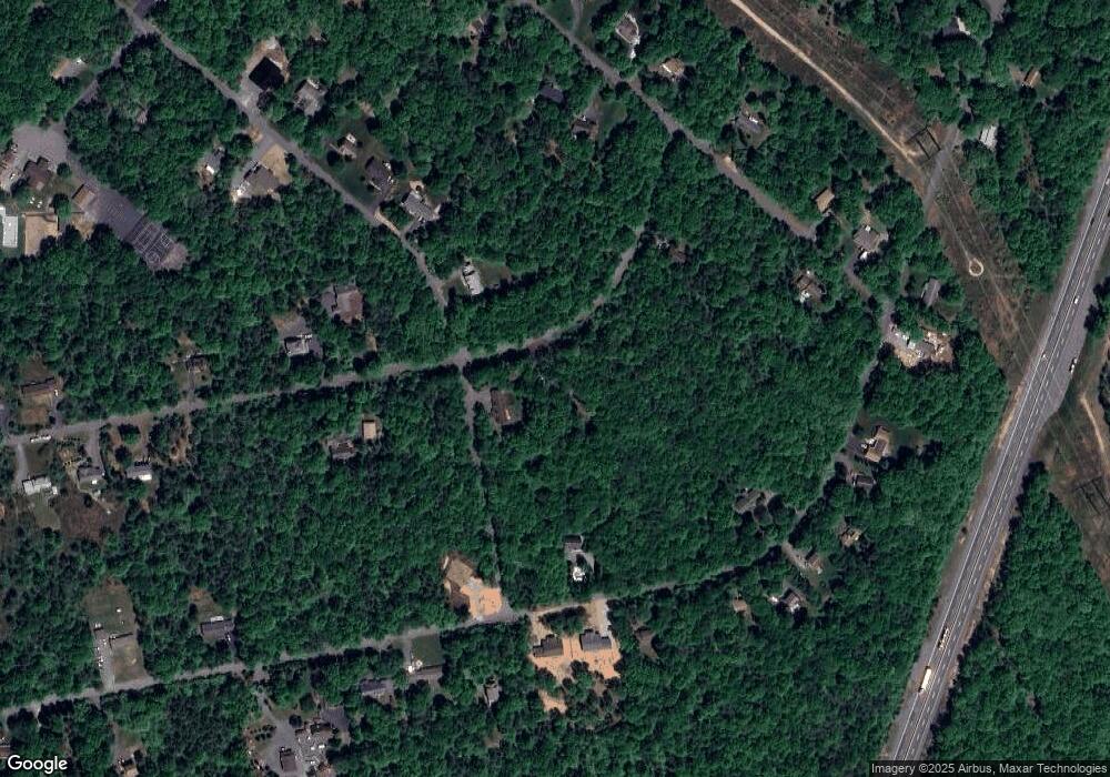
110 Robertson Rd Jim Thorpe, PA 18229
Estimated Value: $278,058 - $300,000
3
Beds
2
Baths
1,425
Sq Ft
$204/Sq Ft
Est. Value
About This Home
This home is located at 110 Robertson Rd, Jim Thorpe, PA 18229 and is currently estimated at $290,515, approximately $203 per square foot. 110 Robertson Rd is a home located in Carbon County with nearby schools including Jim Thorpe Area High School.
Ownership History
Date
Name
Owned For
Owner Type
Purchase Details
Closed on
Oct 17, 2022
Sold by
Murray Joseph and Murray Susan F
Bought by
Thear Luke D
Current Estimated Value
Home Financials for this Owner
Home Financials are based on the most recent Mortgage that was taken out on this home.
Original Mortgage
$11,697
Outstanding Balance
$11,320
Interest Rate
7.08%
Estimated Equity
$279,195
Purchase Details
Closed on
Dec 18, 2017
Sold by
Murry Joseph and Harris James C
Bought by
Murry Joseph
Purchase Details
Closed on
Jul 2, 1981
Bought by
Harris James C
Create a Home Valuation Report for This Property
The Home Valuation Report is an in-depth analysis detailing your home's value as well as a comparison with similar homes in the area
Home Values in the Area
Average Home Value in this Area
Purchase History
| Date | Buyer | Sale Price | Title Company |
|---|---|---|---|
| Thear Luke D | $233,958 | First United Land Transfer | |
| Murry Joseph | -- | None Available | |
| Harris James C | $8,000 | -- |
Source: Public Records
Mortgage History
| Date | Status | Borrower | Loan Amount |
|---|---|---|---|
| Open | Thear Luke D | $11,697 | |
| Open | Thear Luke D | $229,719 |
Source: Public Records
Tax History Compared to Growth
Tax History
| Year | Tax Paid | Tax Assessment Tax Assessment Total Assessment is a certain percentage of the fair market value that is determined by local assessors to be the total taxable value of land and additions on the property. | Land | Improvement |
|---|---|---|---|---|
| 2025 | $2,992 | $48,640 | $7,500 | $41,140 |
| 2024 | $2,846 | $48,640 | $7,500 | $41,140 |
| 2023 | $2,218 | $38,400 | $7,500 | $30,900 |
| 2022 | $2,218 | $38,400 | $7,500 | $30,900 |
| 2021 | $2,218 | $38,400 | $7,500 | $30,900 |
| 2020 | $2,218 | $38,400 | $7,500 | $30,900 |
| 2019 | $2,142 | $38,400 | $7,500 | $30,900 |
| 2018 | $2,142 | $38,400 | $7,500 | $30,900 |
| 2017 | $2,142 | $38,400 | $7,500 | $30,900 |
| 2016 | -- | $38,400 | $7,500 | $30,900 |
| 2015 | -- | $38,400 | $7,500 | $30,900 |
| 2014 | -- | $38,400 | $7,500 | $30,900 |
Source: Public Records
Map
Nearby Homes
- 369 Robertson Rd
- 0 Lot F534 Pinoak Dr
- F392 Wild Creek Dr
- 683 Wild Creek Dr
- Lot F534 Pin Oak Dr
- 0 Drakes Dr Unit 763563
- 0 Drakes Dr Unit PACC2006494
- Lot D423 Panther Run Rd
- Lot 328 Panther Run Rd
- 0 Cross Run Rd Unit Lot 567 757717
- 626 Cross Run Rd
- Lot 567 Cross Run Rd
- D299 Robertson Rd
- H593 Engler Ln
- 0 Dr
- 131 Cold Spring Dr
- 183 Panther Run Rd
- 0 Cold Spring Dr Unit PM-135126
- 0 Cold Spring Dr Unit PM-131353
- 0 Cold Spring Dr Unit 763580
- 125 Robertson Rd
- 12 Fawn Rd
- 125 Wild Creek Dr
- 113 Fawn Rd
- 126 Robertson Rd
- 145 Wild Creek Dr
- 120 Wild Creek Dr
- 0 Vacant Lot Wild Creek Dr Unit 654607
- 353 Robertson Rd
- 357 Robertson Rd
- 361 Robertson Rd
- 90 Robertson Rd
- 91 Robertson Rd
- 103 Fawn Rd
- F374 Wild Creek Dr
- 89 Robertson Rd
- 130 Wild Creek Dr
- H685 Wild Creek
- 138 Wild Creek Dr
- 356 Robertson Rd
