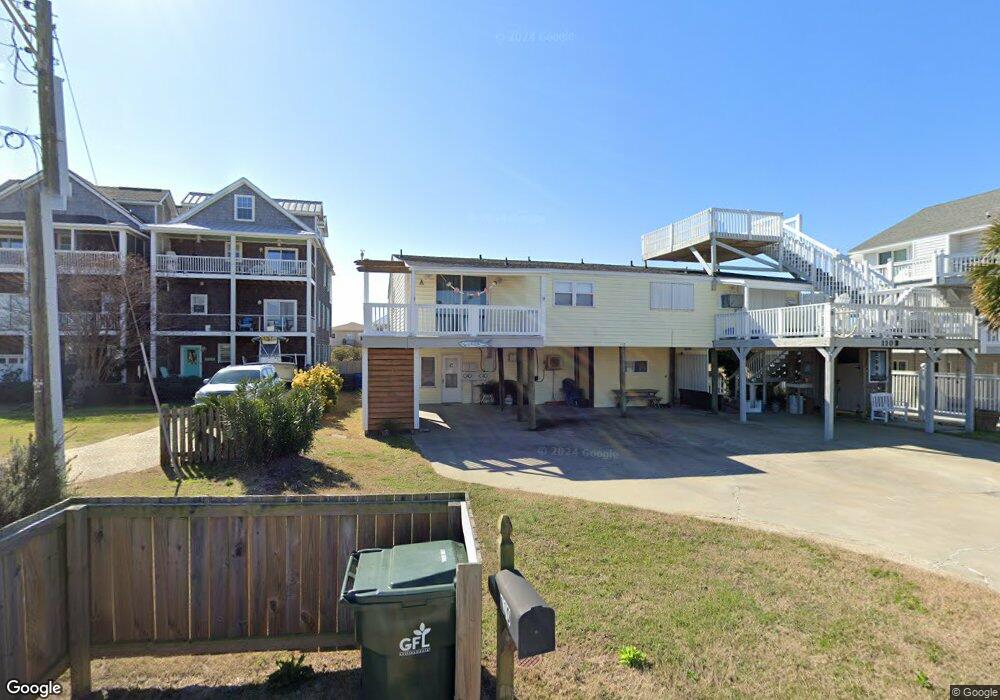
110 Robin Ave Unit A Atlantic Beach, NC 28512
Estimated Value: $467,923 - $539,000
2
Beds
3
Baths
1,578
Sq Ft
$321/Sq Ft
Est. Value
About This Home
This home is located at 110 Robin Ave Unit A, Atlantic Beach, NC 28512 and is currently estimated at $506,481, approximately $320 per square foot. 110 Robin Ave Unit A is a home located in Carteret County with nearby schools including Morehead City Primary School, Morehead Elementary School at Camp Glenn, and Morehead City Middle School.
Ownership History
Date
Name
Owned For
Owner Type
Purchase Details
Closed on
Jul 8, 2017
Sold by
Schell Sabrina and Cea Richard
Bought by
Winstead David Wayne and Winstead Laura Manning
Current Estimated Value
Home Financials for this Owner
Home Financials are based on the most recent Mortgage that was taken out on this home.
Original Mortgage
$150,000
Outstanding Balance
$124,625
Interest Rate
3.89%
Mortgage Type
Commercial
Estimated Equity
$381,856
Purchase Details
Closed on
Oct 7, 2004
Purchase Details
Closed on
May 7, 2004
Create a Home Valuation Report for This Property
The Home Valuation Report is an in-depth analysis detailing your home's value as well as a comparison with similar homes in the area
Home Values in the Area
Average Home Value in this Area
Purchase History
| Date | Buyer | Sale Price | Title Company |
|---|---|---|---|
| Winstead David Wayne | $248,000 | None Available | |
| -- | -- | -- | |
| -- | $157,500 | -- |
Source: Public Records
Mortgage History
| Date | Status | Borrower | Loan Amount |
|---|---|---|---|
| Open | Winstead David Wayne | $150,000 |
Source: Public Records
Tax History
| Year | Tax Paid | Tax Assessment Tax Assessment Total Assessment is a certain percentage of the fair market value that is determined by local assessors to be the total taxable value of land and additions on the property. | Land | Improvement |
|---|---|---|---|---|
| 2025 | $996 | $398,942 | $90,000 | $308,942 |
| 2024 | $996 | $264,145 | $127,995 | $136,150 |
| 2023 | $913 | $264,145 | $127,995 | $136,150 |
| 2022 | $887 | $264,145 | $127,995 | $136,150 |
| 2021 | $887 | $264,145 | $127,995 | $136,150 |
| 2020 | $887 | $264,145 | $127,995 | $136,150 |
| 2019 | $805 | $254,958 | $136,528 | $118,430 |
| 2017 | $805 | $254,958 | $136,528 | $118,430 |
| 2016 | $805 | $254,958 | $136,528 | $118,430 |
| 2015 | $780 | $254,958 | $136,528 | $118,430 |
| 2014 | $632 | $205,530 | $111,457 | $94,073 |
Source: Public Records
Map
Nearby Homes
- 104 Robin Ave
- 109 Robin Ave
- 1116 E Fort MacOn Rd
- 102 Freeman Ln
- 201 Freeman Ln Unit A
- 9 E Fort MacOn Rd
- 117 Island Quay Ct
- 115 Island Quay Dr
- 404 Dobbs St
- 105 Winston Ave Unit A&B
- 303 Henderson Blvd Unit 14
- 301 Henderson Blvd Unit 24
- 205 Barefoot Ln
- 202 Glenn St
- 300 Ocean Boulevard Extension Unit B
- 1711 E Fort MacOn Rd
- 310 E Terminal Blvd
- 301 Commerce Way Unit 205
- 301 Commerce Way Unit 360
- 301 Commerce Way Unit 350 Sea Spray
- 112 Robin Ave Unit B
- 112 Robin Ave Unit A
- 108 Robin Ave
- 114 Robin Ave Unit B
- 114 Robin Ave Unit C
- 114 Robin Ave Unit A
- 106 Robin Ave
- 209 Club Colony Dr
- 211 Club Colony Dr
- 211 Club Colony Dr Unit A
- 211 Club Colony Dr Unit B
- 207 Club Colony Dr
- 113 Robin Ave
- 115 Robin Ave
- 102 Robin Ave
- 117 Robin Ave
- 107 Robin Ave Unit C
- 107 Robin Ave Unit B
- 119 Robin Ave
- 213 Club Colony Dr
Your Personal Tour Guide
Ask me questions while you tour the home.