110 Rolling Ridge Dr Cleveland, GA 30528
Estimated Value: $364,000 - $449,000
3
Beds
2
Baths
1,363
Sq Ft
$299/Sq Ft
Est. Value
About This Home
This home is located at 110 Rolling Ridge Dr, Cleveland, GA 30528 and is currently estimated at $407,080, approximately $298 per square foot. 110 Rolling Ridge Dr is a home located in White County with nearby schools including White County 9th Grade Academy, Tesnatee Gap Elementary (Old White County Intermediate), and Jack P. Nix Elementary School.
Ownership History
Date
Name
Owned For
Owner Type
Purchase Details
Closed on
Jun 27, 2018
Sold by
Morris James G
Bought by
Pruitt Valerie D
Current Estimated Value
Home Financials for this Owner
Home Financials are based on the most recent Mortgage that was taken out on this home.
Original Mortgage
$157,000
Outstanding Balance
$135,779
Interest Rate
4.5%
Mortgage Type
New Conventional
Estimated Equity
$271,301
Create a Home Valuation Report for This Property
The Home Valuation Report is an in-depth analysis detailing your home's value as well as a comparison with similar homes in the area
Home Values in the Area
Average Home Value in this Area
Purchase History
| Date | Buyer | Sale Price | Title Company |
|---|---|---|---|
| Pruitt Valerie D | $210,000 | -- |
Source: Public Records
Mortgage History
| Date | Status | Borrower | Loan Amount |
|---|---|---|---|
| Open | Pruitt Valerie D | $157,000 |
Source: Public Records
Tax History Compared to Growth
Tax History
| Year | Tax Paid | Tax Assessment Tax Assessment Total Assessment is a certain percentage of the fair market value that is determined by local assessors to be the total taxable value of land and additions on the property. | Land | Improvement |
|---|---|---|---|---|
| 2025 | $2,701 | $132,376 | $27,080 | $105,296 |
| 2024 | $2,701 | $129,668 | $24,372 | $105,296 |
| 2023 | $2,495 | $110,020 | $21,664 | $88,356 |
| 2022 | $2,272 | $95,744 | $18,956 | $76,788 |
| 2021 | $2,101 | $78,380 | $16,892 | $61,488 |
| 2020 | $2,036 | $72,352 | $15,684 | $56,668 |
| 2019 | $2,043 | $72,352 | $15,684 | $56,668 |
| 2018 | $2,043 | $72,352 | $15,684 | $56,668 |
| 2017 | $1,812 | $64,772 | $15,684 | $49,088 |
| 2016 | $1,812 | $64,772 | $15,684 | $49,088 |
| 2015 | $1,729 | $161,930 | $15,684 | $49,088 |
| 2014 | $1,611 | $150,550 | $0 | $0 |
Source: Public Records
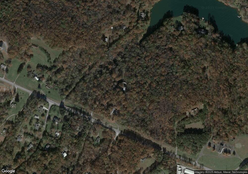
Map
Nearby Homes
- 0 Highway 115 E Unit 10627896
- 22 Laurel Park Dr
- 77 N Shore Dr
- 164 Leatherford Rd
- 0 Black Rd Unit 7662078
- 0 Black Rd Unit 10620540
- 675 Washboard Rd
- 1021 Black Rd
- 0 Highland Forest Rd Unit TRACT "2" 10559371
- 79 Hampton Hills Ln
- 179 Pine Brook Dr
- 338 Black Rd
- 97 E Lake Laceola Rd S
- 61 Berry Patch Ln
- 575 Turner Rd
- 438 Turner Rd
- 841 Yonah Meadow Dr
- 37 Stone Hearth Dr
- 141 Willows Ct
- LOT 138 Timber Rock Dr
- 3425 Highway 115 E
- 28 Rolling Ridge Dr
- 0 Rolling Ridge Dr Unit 7285259
- 0 Rolling Ridge Dr
- 196 Nora Ln
- 0 Holly Hills Rd Unit TR 8 7335080
- 0 Holly Hills Rd Unit 8593273
- 0 Highway 115 E Unit 8124834
- 0 Highway 115 E Unit 10608501
- 0 Highway 115 E Unit 7645562
- 0 Highway 115 E Unit 10586955
- 0 Highway 115 E Unit 10585732
- 0 Highway 115 E Unit 10565652
- 0 Highway 115 E Unit 10545036
- 0 Highway 115 E Unit 10522925
- 0 Highway 115 E Unit 7109656
- 0 Highway 115 E Unit 20071043
- 0 Highway 115 E Unit 20067068
- 0 Highway 115 E Unit 11090135
- 0 Highway 115 E Unit 20055984