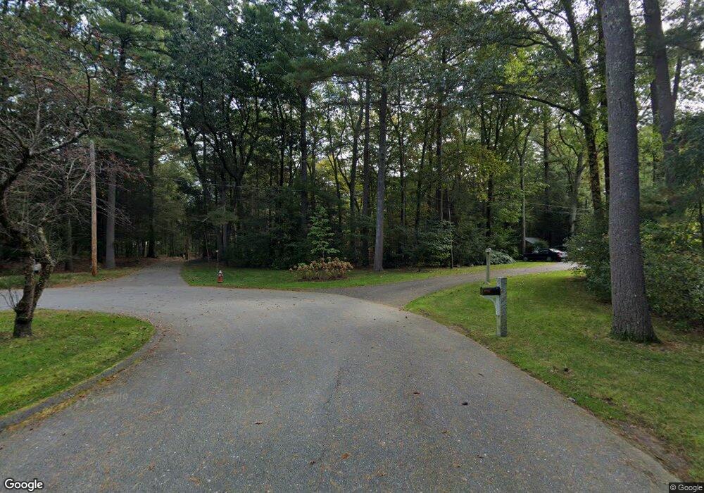
110 Rollingwood Ln Concord, MA 01742
Estimated Value: $1,488,317 - $2,004,000
4
Beds
3
Baths
2,260
Sq Ft
$761/Sq Ft
Est. Value
About This Home
This home is located at 110 Rollingwood Ln, Concord, MA 01742 and is currently estimated at $1,720,079, approximately $761 per square foot. 110 Rollingwood Ln is a home located in Middlesex County with nearby schools including Willard School, Concord Middle School, and Concord Carlisle High School.
Ownership History
Date
Name
Owned For
Owner Type
Purchase Details
Closed on
Feb 17, 1995
Sold by
Strickler William L
Bought by
Flower Richard A and Obrien Linsey B
Current Estimated Value
Home Financials for this Owner
Home Financials are based on the most recent Mortgage that was taken out on this home.
Original Mortgage
$200,000
Interest Rate
9.19%
Mortgage Type
Purchase Money Mortgage
Create a Home Valuation Report for This Property
The Home Valuation Report is an in-depth analysis detailing your home's value as well as a comparison with similar homes in the area
Home Values in the Area
Average Home Value in this Area
Purchase History
| Date | Buyer | Sale Price | Title Company |
|---|---|---|---|
| Flower Richard A | $395,000 | -- |
Source: Public Records
Mortgage History
| Date | Status | Borrower | Loan Amount |
|---|---|---|---|
| Open | Flower Richard A | $190,000 | |
| Closed | Flower Richard A | $200,000 | |
| Previous Owner | Flower Richard A | $48,000 |
Source: Public Records
Tax History Compared to Growth
Tax History
| Year | Tax Paid | Tax Assessment Tax Assessment Total Assessment is a certain percentage of the fair market value that is determined by local assessors to be the total taxable value of land and additions on the property. | Land | Improvement |
|---|---|---|---|---|
| 2025 | $172 | $1,297,800 | $741,000 | $556,800 |
| 2024 | $16,747 | $1,275,500 | $741,000 | $534,500 |
| 2023 | $15,851 | $1,223,100 | $702,500 | $520,600 |
| 2022 | $15,132 | $1,025,200 | $574,300 | $450,900 |
| 2021 | $13,207 | $897,200 | $491,400 | $405,800 |
| 2020 | $13,110 | $921,300 | $491,400 | $429,900 |
| 2019 | $12,402 | $874,000 | $478,400 | $395,600 |
| 2018 | $12,337 | $863,300 | $481,900 | $381,400 |
| 2017 | $12,185 | $866,000 | $459,100 | $406,900 |
| 2016 | $11,566 | $830,900 | $459,100 | $371,800 |
| 2015 | $10,945 | $765,900 | $425,500 | $340,400 |
Source: Public Records
Map
Nearby Homes
- 497 Old Road to 9 Acre Corner
- 132 Williams Rd
- 25 Fairhaven Rd
- 236 Fairhaven Rd
- 40 Rookery Ln Unit 5
- 72 Rookery Ln Unit 3
- 56 Rookery Ln Unit 4
- 121 White Pond Way Unit 121
- 602 Main St
- 401 Emery Ln Unit 304
- 24 Concord Greene Unit 7
- 29 Concord Greene Unit 3
- 22 Concord Greene Unit 2
- 16 Concord Greene Unit 5
- 46 Wood St
- 22 Belknap Ct
- 1201 Old Marlboro Rd
- 111 Central St
- 34 Thoreau St Unit 34
- 106 Elm St
- 80 Rollingwood Ln
- 91 Rollingwood Ln
- 131 Rollingwood Ln
- 1030 Sudbury Rd
- 64 Rollingwood Ln
- 69 Rollingwood Ln
- 5 Oxbow Rd
- 1000 Sudbury Rd
- 50 Rollingwood Ln
- LOT 6 Oxbow Rd
- 1076 Sudbury Rd
- 57 Rollingwood Ln
- 11 Oxbow Rd
- 36 Rollingwood Ln
- 18 Oxbow Rd
- 39 Rollingwood Ln
- 25 Oxbow Rd
- 15 Oxbow Rd
- 12 7 Star Ln
- 970 Sudbury Rd