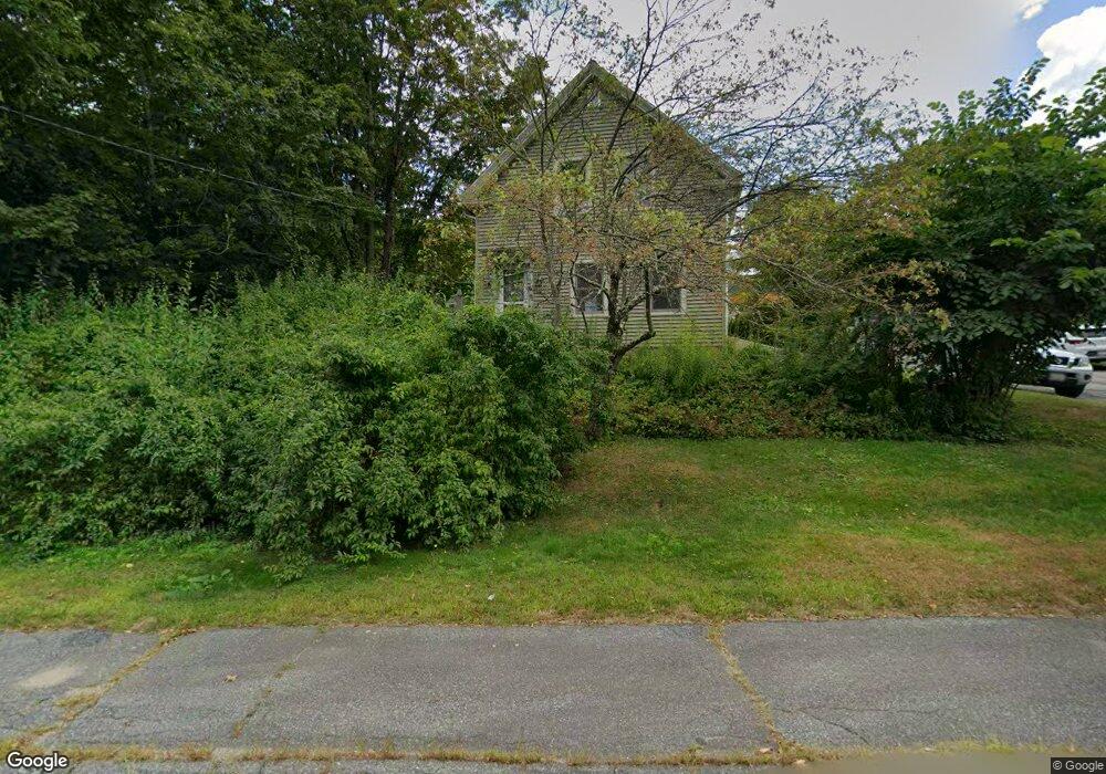
110 S Main St Ashburnham, MA 01430
Estimated Value: $342,000 - $395,000
3
Beds
2
Baths
1,594
Sq Ft
$230/Sq Ft
Est. Value
About This Home
This home is located at 110 S Main St, Ashburnham, MA 01430 and is currently estimated at $366,454, approximately $229 per square foot. 110 S Main St is a home located in Worcester County with nearby schools including Oakmont Regional High School, Wachusett Hills Christian School, and Cushing Academy.
Ownership History
Date
Name
Owned For
Owner Type
Purchase Details
Closed on
Aug 31, 2023
Sold by
Chirco David P and Chirco Greta M
Bought by
Chirco Lt and Chirco
Current Estimated Value
Create a Home Valuation Report for This Property
The Home Valuation Report is an in-depth analysis detailing your home's value as well as a comparison with similar homes in the area
Home Values in the Area
Average Home Value in this Area
Purchase History
| Date | Buyer | Sale Price | Title Company |
|---|---|---|---|
| Chirco Lt | -- | None Available | |
| Chirco Lt | -- | None Available |
Source: Public Records
Tax History Compared to Growth
Tax History
| Year | Tax Paid | Tax Assessment Tax Assessment Total Assessment is a certain percentage of the fair market value that is determined by local assessors to be the total taxable value of land and additions on the property. | Land | Improvement |
|---|---|---|---|---|
| 2025 | $4,528 | $304,500 | $32,500 | $272,000 |
| 2024 | $4,413 | $280,200 | $32,500 | $247,700 |
| 2023 | $4,424 | $267,300 | $32,500 | $234,800 |
| 2022 | $4,384 | $232,200 | $32,100 | $200,100 |
| 2021 | $14,576 | $205,600 | $32,100 | $173,500 |
| 2020 | $4,133 | $205,600 | $32,100 | $173,500 |
| 2019 | $14,580 | $160,500 | $32,100 | $128,400 |
| 2018 | $15,263 | $150,200 | $30,600 | $119,600 |
| 2017 | $14,718 | $154,200 | $35,700 | $118,500 |
| 2016 | $3,381 | $148,600 | $35,000 | $113,600 |
| 2015 | $3,311 | $148,600 | $35,000 | $113,600 |
Source: Public Records
Map
Nearby Homes
- 66 S Main St
- 179 Cashman Hill Rd
- 84 Murray Rd
- 15 Kirali Ct
- 28 Old County Rd
- 48 Willard Rd
- 136 Willard Rd
- 9 Willard Rd
- 18 Corey Hill Rd
- 189 Fitchburg Rd
- 30 Russell Hill Rd
- Lot 40C Winchendon Rd
- 208 Bean Porridge Hill Rd
- 68 Olde Colonial Dr Unit 6
- 30 Foster Ct
- 0-1 Bean Porridge Hill Rd
- 105 Ridgewood Ln Unit 22
- 70 Ashburnham State Rd
- 53 Ridgewood Ln Unit 16
- 40 Hunter Ave
- 3 Highland Ave
- 5 Highland Ave
- 106 S Main St
- 111 S Main St
- 2 Westminster St
- 9 Highland Ave
- 4 Westminster St
- 4 Highland Ave
- 117 S Main St
- 6 Highland Ave
- 11 Highland Ave
- 0 Westminster St
- 8 Highland Ave
- 6 S Maple Ave
- 3 Westminster St
- 10 Highland Ave
- 102 S Main St Unit 1
- 1A Whitney Dr Unit LOT
- 9 Whitney Dr
- 12 Westminster St