110 S Shore Rd Little Compton, RI 02837
Estimated Value: $1,617,000 - $1,846,753
3
Beds
2
Baths
2,888
Sq Ft
$584/Sq Ft
Est. Value
About This Home
This home is located at 110 S Shore Rd, Little Compton, RI 02837 and is currently estimated at $1,685,688, approximately $583 per square foot. 110 S Shore Rd is a home located in Newport County with nearby schools including Wilbur & McMahon School.
Ownership History
Date
Name
Owned For
Owner Type
Purchase Details
Closed on
Feb 22, 2019
Sold by
Almeida Robert W and Beers Barbara
Bought by
Robert W Almeida Ret
Current Estimated Value
Purchase Details
Closed on
Aug 26, 1999
Sold by
Marvell Philemon T
Bought by
Almeida Robert W and Beers Barbara C
Create a Home Valuation Report for This Property
The Home Valuation Report is an in-depth analysis detailing your home's value as well as a comparison with similar homes in the area
Home Values in the Area
Average Home Value in this Area
Purchase History
| Date | Buyer | Sale Price | Title Company |
|---|---|---|---|
| Robert W Almeida Ret | -- | -- | |
| Almeida Robert W | $140,000 | -- |
Source: Public Records
Mortgage History
| Date | Status | Borrower | Loan Amount |
|---|---|---|---|
| Previous Owner | Almeida Robert W | $605,000 | |
| Previous Owner | Almeida Robert W | $670,000 | |
| Previous Owner | Almeida Robert W | $650,000 |
Source: Public Records
Tax History
| Year | Tax Paid | Tax Assessment Tax Assessment Total Assessment is a certain percentage of the fair market value that is determined by local assessors to be the total taxable value of land and additions on the property. | Land | Improvement |
|---|---|---|---|---|
| 2025 | $6,607 | $1,379,300 | $525,100 | $854,200 |
| 2024 | $5,228 | $1,029,200 | $456,100 | $573,100 |
| 2023 | $5,105 | $1,029,200 | $456,100 | $573,100 |
| 2022 | $5,043 | $1,029,200 | $456,100 | $573,100 |
| 2021 | $4,772 | $790,100 | $310,600 | $479,500 |
| 2020 | $4,733 | $790,100 | $310,600 | $479,500 |
| 2019 | $4,685 | $790,100 | $238,200 | $551,900 |
| 2018 | $4,584 | $769,200 | $391,000 | $378,200 |
| 2016 | $4,373 | $771,200 | $391,000 | $380,200 |
| 2015 | $4,730 | $822,600 | $395,600 | $427,000 |
| 2014 | $4,639 | $822,600 | $395,600 | $427,000 |
Source: Public Records
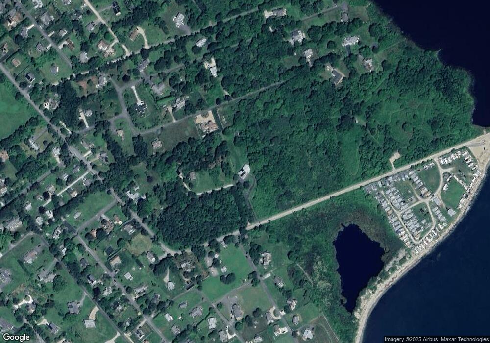
Map
Nearby Homes
- 89 S Shore Rd
- 30 Indian Rd
- 49 Ocean Dr
- 128 Maple Ave
- 141 S Of Commons Rd
- 138 Willow Ave
- 255 John Dyer Rd
- 505 Long Hwy
- 0 Willow Ave
- 38 Old Bull Ln
- 141 Peckham Rd
- 245 John Dyer Rd
- 441 W Main Rd
- 1 Puddingstone Cir
- 140 Long Hwy
- 140I Long Hwy
- 180 W Main Rd
- 116 Amy Hart Path
- 17 Amy Hart Path
- 17 Ferolbink Way
Your Personal Tour Guide
Ask me questions while you tour the home.