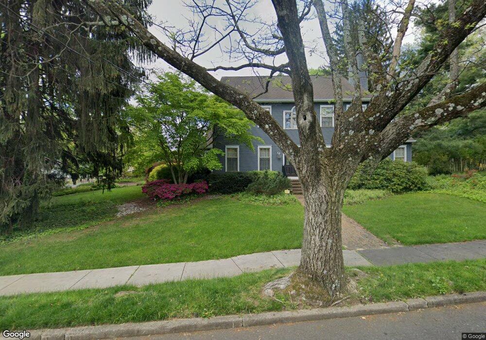
110 S Stanwick Rd Moorestown, NJ 08057
Estimated Value: $828,000 - $1,034,000
Studio
--
Bath
3,200
Sq Ft
$285/Sq Ft
Est. Value
About This Home
This home is located at 110 S Stanwick Rd, Moorestown, NJ 08057 and is currently estimated at $912,633, approximately $285 per square foot. 110 S Stanwick Rd is a home located in Burlington County with nearby schools including South Valley Elementary School, Moorestown Upper Elementary School, and William Allen Middle School.
Ownership History
Date
Name
Owned For
Owner Type
Purchase Details
Closed on
Mar 30, 1990
Bought by
Derosa George and Derosa Annette
Current Estimated Value
Create a Home Valuation Report for This Property
The Home Valuation Report is an in-depth analysis detailing your home's value as well as a comparison with similar homes in the area
Home Values in the Area
Average Home Value in this Area
Purchase History
We collect this data history from publicly available records. To have your information removed, we recommend requesting removal directly through your county’s website.
| Date | Buyer | Sale Price | Title Company |
|---|---|---|---|
| Derosa George | $125,000 | -- |
Source: Public Records
Tax History
| Year | Tax Paid | Tax Assessment Tax Assessment Total Assessment is a certain percentage of the fair market value that is determined by local assessors to be the total taxable value of land and additions on the property. | Land | Improvement |
|---|---|---|---|---|
| 2025 | $14,994 | $528,500 | $201,900 | $326,600 |
| 2024 | $14,539 | $528,500 | $201,900 | $326,600 |
| 2023 | $14,539 | $528,500 | $201,900 | $326,600 |
| 2022 | $14,391 | $528,500 | $201,900 | $326,600 |
| 2021 | $14,201 | $528,500 | $201,900 | $326,600 |
| 2020 | $14,111 | $528,500 | $201,900 | $326,600 |
| 2019 | $13,863 | $528,500 | $201,900 | $326,600 |
| 2018 | $13,487 | $528,500 | $201,900 | $326,600 |
| 2017 | $13,604 | $528,500 | $201,900 | $326,600 |
| 2016 | $13,556 | $528,500 | $201,900 | $326,600 |
| 2015 | $13,392 | $528,500 | $201,900 | $326,600 |
| 2014 | $12,716 | $528,500 | $201,900 | $326,600 |
Source: Public Records
Map
Nearby Homes
- 429 E 2nd St
- 526 E Main St
- 396 E Linden St
- 315 Linden St
- 629 E Main St
- 308 Elm St
- 633 E Main St Unit D4
- 633 E Main St Unit B2
- 408 N Stanwick Rd
- 635 E Main St Unit 7
- 440 Windrow Clusters Dr Unit 31
- 0 Bridgeway Tract Unit NJBL2111242
- 127 Schooley St
- 322 Chestnut St
- 11 Mount Laurel Rd
- 140 E Central Ave
- 205 E Central Ave
- 465 Windrow Clusters Dr Unit 22
- 129 Plum St Unit C4
- 210 E Oak Ave
- 311 Madison Ave
- 338 E Main St
- 340 Madison Ave
- 338 Madison Ave
- 328 E Main St
- 109 S Stanwick Rd
- 334 Madison Ave
- 309 Madison Ave
- 113 S Stanwick Rd
- 370 E Main St
- 374 E Main St
- 322 E Main St
- 117 S Stanwick Rd
- 320 Madison Ave
- 376 E Main St
- 331 Mayland Ave
- 200 S Stanwick Rd
- 329 Mayland Ave
- 307 Madison Ave
- 318 E Main St
Your Personal Tour Guide
Ask me questions while you tour the home.