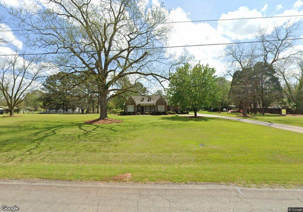
110 S Tamie Cir Kathleen, GA 31047
Estimated Value: $338,000 - $413,224
3
Beds
3
Baths
2,438
Sq Ft
$150/Sq Ft
Est. Value
About This Home
This home is located at 110 S Tamie Cir, Kathleen, GA 31047 and is currently estimated at $365,806, approximately $150 per square foot. 110 S Tamie Cir is a home located in Houston County with nearby schools including Hilltop Elementary School, Bonaire Middle School, and Veterans High School.
Ownership History
Date
Name
Owned For
Owner Type
Purchase Details
Closed on
May 17, 1993
Sold by
Smith Glen B and Deborah T*
Bought by
Reagan Alan L and Carol W*
Current Estimated Value
Purchase Details
Closed on
Dec 8, 1986
Sold by
Pamperien Roka D
Bought by
Smith Glen B and Deborah T*
Purchase Details
Closed on
Feb 8, 1977
Sold by
Clements Elton L
Bought by
Pamperien Roka D
Purchase Details
Closed on
Sep 8, 1975
Sold by
Peltz Norman C and Peltz Prapai
Bought by
Clements Elton L
Purchase Details
Closed on
Jul 1, 1974
Sold by
Pamperien Thelma
Bought by
Peltz Norman C and Peltz Prapai
Create a Home Valuation Report for This Property
The Home Valuation Report is an in-depth analysis detailing your home's value as well as a comparison with similar homes in the area
Home Values in the Area
Average Home Value in this Area
Purchase History
| Date | Buyer | Sale Price | Title Company |
|---|---|---|---|
| Reagan Alan L | $138,900 | -- | |
| Smith Glen B | -- | -- | |
| Pamperien Roka D | -- | -- | |
| Clements Elton L | -- | -- | |
| Peltz Norman C | -- | -- |
Source: Public Records
Tax History Compared to Growth
Tax History
| Year | Tax Paid | Tax Assessment Tax Assessment Total Assessment is a certain percentage of the fair market value that is determined by local assessors to be the total taxable value of land and additions on the property. | Land | Improvement |
|---|---|---|---|---|
| 2024 | $3,159 | $134,040 | $45,240 | $88,800 |
| 2023 | $2,792 | $117,520 | $46,880 | $70,640 |
| 2022 | $2,778 | $116,920 | $46,880 | $70,040 |
| 2021 | $2,519 | $105,680 | $43,560 | $62,120 |
| 2020 | $2,139 | $87,400 | $28,280 | $59,120 |
| 2019 | $2,085 | $87,400 | $28,280 | $59,120 |
| 2018 | $2,085 | $87,400 | $28,280 | $59,120 |
| 2017 | $2,087 | $87,400 | $28,280 | $59,120 |
| 2016 | $2,012 | $84,240 | $28,280 | $55,960 |
| 2015 | $2,017 | $84,240 | $28,280 | $55,960 |
| 2014 | -- | $84,240 | $28,280 | $55,960 |
| 2013 | -- | $84,240 | $28,280 | $55,960 |
Source: Public Records
Map
Nearby Homes
- 2006 Melrose Place
- 101 Pond Dr
- 119 Richfield Cir
- 231 Grove Ln
- 135 Pond Dr
- 204 Weeping Moss Way
- 104 Cloverdale Dr
- 108 Cloverdale Dr
- 105 Cabin Cove Dr
- 216 Hearthwood Dr
- 105 Selwyn Ct
- 527 Bristleleaf Path
- 117 Black Birch Ln
- 115 Black Birch Ln
- 102 Emberwood Dr
- 200 Emberwood Way
- 102 Emberwood Way
- 206 Emberwood Way
- 510 Mt Zion Rd
- 510 Mount Zion Rd
- 108 S Tamie Cir
- 114 S Tamie Cir
- 107 S Tamie Cir
- 109 S Tamie Cir
- 116 S Tamie Cir
- 105 S Tamie Cir
- S S Tamie Cir
- 1720 Houston Lake Rd
- 1720 S Houston Lake Rd
- 100 S Tamie Cir
- 118 S Tamie Cir
- 1716 Houston Lake Rd
- 115 Grove Ln
- 117 Grove Ln
- 113 Grove Ln
- 113 S Tamie Cir
- 119 Grove Ln
- 111 Grove Ln
- 121 Grove Ln
- 1796 S Houston Lake Rd