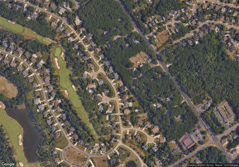
110 Saint Andrews Dr Egg Harbor Township, NJ 08234
Estimated Value: $623,196 - $688,000
--
Bed
--
Bath
2,366
Sq Ft
$279/Sq Ft
Est. Value
About This Home
This home is located at 110 Saint Andrews Dr, Egg Harbor Township, NJ 08234 and is currently estimated at $659,049, approximately $278 per square foot. 110 Saint Andrews Dr is a home located in Atlantic County with nearby schools including Egg Harbor Township High School, ChARTer TECH High School for the Performing Arts, and Gospel of Grace Christian School.
Ownership History
Date
Name
Owned For
Owner Type
Purchase Details
Closed on
Apr 22, 2015
Sold by
Simenson Mark L
Bought by
Parmelee Alan B and Parmelee Anne M
Current Estimated Value
Purchase Details
Closed on
Apr 25, 2002
Sold by
Harbor Pines Land Llc
Bought by
Simenson Mark L
Home Financials for this Owner
Home Financials are based on the most recent Mortgage that was taken out on this home.
Original Mortgage
$150,000
Interest Rate
7.18%
Create a Home Valuation Report for This Property
The Home Valuation Report is an in-depth analysis detailing your home's value as well as a comparison with similar homes in the area
Home Values in the Area
Average Home Value in this Area
Purchase History
| Date | Buyer | Sale Price | Title Company |
|---|---|---|---|
| Parmelee Alan B | $340,000 | Surety Title | |
| Simenson Mark L | $328,187 | The Title Company Of Jersey |
Source: Public Records
Mortgage History
| Date | Status | Borrower | Loan Amount |
|---|---|---|---|
| Previous Owner | Simenson Mark L | $150,000 |
Source: Public Records
Tax History Compared to Growth
Tax History
| Year | Tax Paid | Tax Assessment Tax Assessment Total Assessment is a certain percentage of the fair market value that is determined by local assessors to be the total taxable value of land and additions on the property. | Land | Improvement |
|---|---|---|---|---|
| 2025 | $10,384 | $309,600 | $110,100 | $199,500 |
| 2024 | $10,384 | $309,600 | $110,100 | $199,500 |
| 2023 | $10,325 | $309,600 | $110,100 | $199,500 |
| 2022 | $10,325 | $309,600 | $110,100 | $199,500 |
| 2021 | $10,409 | $309,600 | $110,100 | $199,500 |
| 2020 | $10,220 | $309,600 | $110,100 | $199,500 |
| 2019 | $9,941 | $309,600 | $110,100 | $199,500 |
| 2018 | $9,728 | $309,600 | $110,100 | $199,500 |
| 2017 | $9,694 | $309,600 | $110,100 | $199,500 |
| 2016 | $9,310 | $309,600 | $110,100 | $199,500 |
| 2015 | $9,197 | $310,400 | $110,100 | $200,300 |
| 2014 | $9,014 | $310,400 | $110,100 | $200,300 |
Source: Public Records
Map
Nearby Homes
- 210 Daytona Rd
- 216 Daytona Rd
- 217 Castle Pine Dr
- 11 Osprey Ct
- 300 Glen Dornoch Ln
- 1354 Old Zion Rd
- 201 Spyglass Ct
- 2 Glen Aire Dr
- 16 Scarlett Oak Cir
- 161 Laquinta Dr
- 203 Rosemarie Dr
- 139 Laquinta Dr
- 145 Laquinta Dr
- 172 Laquinta Dr
- 33 Sturbridge Ct
- 182 Blackman Rd
- 23 Sturbridge Ct
- 127 Rochelle Ln
- 155 Blackman Rd
- 335 Steelmanville Rd
- 110 St Andrews Dr
- 108 Saint Andrews Dr
- 112 Saint Andrews Dr
- 112 St Andrews Dr
- 106 St Andrews Dr
- 4 Tamaron Dr
- 106 Saint Andrews Dr
- 114 Saint Andrews Dr
- 203 Saint Georges Ct
- 3 Tamaron Dr
- 200 Lucaya Ct
- 104 Saint Andrews Dr
- 116 Saint Andrews Dr
- 5 Tamaron Dr
- 2 Tamaron Dr
- 200 Saint Georges Ct
- 122 Saint Andrews Dr
- 202 Saint Georges Ct
- 201 Lucaya Ct
- 118 Saint Andrews Dr
