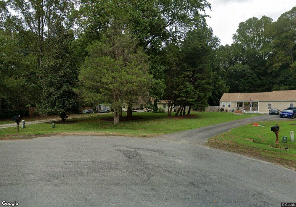
110 Sand Dr Williamsburg, VA 23188
Estimated Value: $341,000 - $382,000
4
Beds
3
Baths
1,811
Sq Ft
$200/Sq Ft
Est. Value
About This Home
This home is located at 110 Sand Dr, Williamsburg, VA 23188 and is currently estimated at $362,149, approximately $199 per square foot. 110 Sand Dr is a home located in James City County with nearby schools including Stonehouse Elementary School, Toano Middle School, and Warhill High School.
Ownership History
Date
Name
Owned For
Owner Type
Purchase Details
Closed on
May 31, 2011
Sold by
Federal National Mortgage Association
Bought by
Wade Amie
Current Estimated Value
Home Financials for this Owner
Home Financials are based on the most recent Mortgage that was taken out on this home.
Original Mortgage
$161,347
Outstanding Balance
$110,828
Interest Rate
4.63%
Mortgage Type
New Conventional
Estimated Equity
$251,321
Purchase Details
Closed on
Sep 22, 2010
Sold by
Samuel I White Pc
Bought by
Federal National Mortgage Association
Create a Home Valuation Report for This Property
The Home Valuation Report is an in-depth analysis detailing your home's value as well as a comparison with similar homes in the area
Home Values in the Area
Average Home Value in this Area
Purchase History
| Date | Buyer | Sale Price | Title Company |
|---|---|---|---|
| Wade Amie | $150,000 | -- | |
| Federal National Mortgage Association | $225,945 | -- |
Source: Public Records
Mortgage History
| Date | Status | Borrower | Loan Amount |
|---|---|---|---|
| Open | Wade Amie | $161,347 |
Source: Public Records
Tax History Compared to Growth
Tax History
| Year | Tax Paid | Tax Assessment Tax Assessment Total Assessment is a certain percentage of the fair market value that is determined by local assessors to be the total taxable value of land and additions on the property. | Land | Improvement |
|---|---|---|---|---|
| 2025 | $1,791 | $316,200 | $49,800 | $266,400 |
| 2023 | $1,791 | $215,800 | $39,800 | $176,000 |
| 2022 | $1,791 | $215,800 | $39,800 | $176,000 |
| 2021 | $1,599 | $190,300 | $39,800 | $150,500 |
| 2020 | $1,599 | $190,300 | $39,800 | $150,500 |
| 2019 | $1,520 | $180,900 | $39,800 | $141,100 |
| 2018 | $1,520 | $180,900 | $39,800 | $141,100 |
| 2017 | $1,520 | $180,900 | $39,800 | $141,100 |
| 2016 | $1,520 | $180,900 | $39,800 | $141,100 |
| 2015 | -- | $180,900 | $39,800 | $141,100 |
| 2014 | -- | $180,900 | $39,800 | $141,100 |
Source: Public Records
Map
Nearby Homes
- 3472 Westham Ln
- 8409 Addison Terrace
- 8409 Addison Terrace
- 3424 Colony Mill Rd
- 8435 Taverns Ln
- 4097 Rochambeau Dr
- 0-A Ware Creek Rd
- 4124 Stith Ln
- 7055 Cunningham Dr
- 4120 Stith Ln
- 4121 Stith Ln
- 4117 Stith Ln
- 7097 Cunningham Dr
- 4108 Stith Ln
- 4105 Stith Ln
- 4100 Stith Ln
- 2169 Gilmer Ln
- 2157 Gilmer Ln
- 123 Industrial Blvd
- Grand Bahama Basement Plan at Stonehouse - Stonehouse Ranch