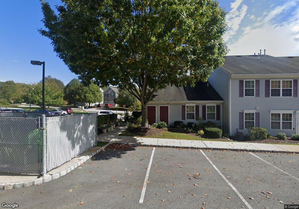
110 Saxton Dr Unit B1 Hackettstown, NJ 07840
Estimated Value: $99,000 - $213,000
Studio
--
Bath
676
Sq Ft
$233/Sq Ft
Est. Value
About This Home
This home is located at 110 Saxton Dr Unit B1, Hackettstown, NJ 07840 and is currently estimated at $157,706, approximately $233 per square foot. 110 Saxton Dr Unit B1 is a home located in Warren County with nearby schools including Willow Grove Elementary School, Hackettstown Middle School, and Hackettstown High School.
Ownership History
Date
Name
Owned For
Owner Type
Purchase Details
Closed on
May 12, 2008
Sold by
Oconner Kyle
Bought by
Shotwell Julia
Current Estimated Value
Home Financials for this Owner
Home Financials are based on the most recent Mortgage that was taken out on this home.
Original Mortgage
$118,388
Outstanding Balance
$75,092
Interest Rate
5.91%
Mortgage Type
Unknown
Estimated Equity
$82,614
Purchase Details
Closed on
Jan 18, 2005
Sold by
Johnson Megan Marie
Bought by
Oconnor Kyle
Home Financials for this Owner
Home Financials are based on the most recent Mortgage that was taken out on this home.
Original Mortgage
$52,442
Interest Rate
5.71%
Mortgage Type
Purchase Money Mortgage
Create a Home Valuation Report for This Property
The Home Valuation Report is an in-depth analysis detailing your home's value as well as a comparison with similar homes in the area
Home Values in the Area
Average Home Value in this Area
Purchase History
| Date | Buyer | Sale Price | Title Company |
|---|---|---|---|
| Shotwell Julia | $56,612 | Fidelity Natl Title Ins Co | |
| Oconnor Kyle | $52,442 | Chicago Title Insurance Co |
Source: Public Records
Mortgage History
| Date | Status | Borrower | Loan Amount |
|---|---|---|---|
| Open | Shotwell Julia | $118,388 | |
| Closed | Shotwell Julia | $50,612 | |
| Previous Owner | Oconnor Kyle | $52,442 |
Source: Public Records
Tax History
| Year | Tax Paid | Tax Assessment Tax Assessment Total Assessment is a certain percentage of the fair market value that is determined by local assessors to be the total taxable value of land and additions on the property. | Land | Improvement |
|---|---|---|---|---|
| 2025 | $1,983 | $58,000 | $30,000 | $28,000 |
| 2024 | $1,957 | $58,000 | $30,000 | $28,000 |
Source: Public Records
Map
Nearby Homes
- 116 Saxton Dr Unit E2
- 114 Saxton Dr Unit E1
- 100 Saxton Dr Unit D1
- 108 Saxton Dr Unit B2
- 104 Saxton Dr Unit 14C104
- 102 Saxton Dr Unit D2
- 106 Saxton Dr Unit C1
- 112 Saxton Dr Unit A1
- 142 Brook Hollow Dr
- 134 Brook Hollow Dr
- 138 Brook Hollow Dr
- 136 Brook Hollow Dr Unit D2
- 144 Brook Hollow Dr Unit F2
- 128 Brook Hollow Dr
- 126 Brook Hollow Dr
- 124 Brook Hollow Dr
- 132 Brook Hollow Dr Unit 1001C2
- 122 Brook Hollow Dr
- 13 Saxton Dr
- 11 Saxton Dr
Your Personal Tour Guide
Ask me questions while you tour the home.