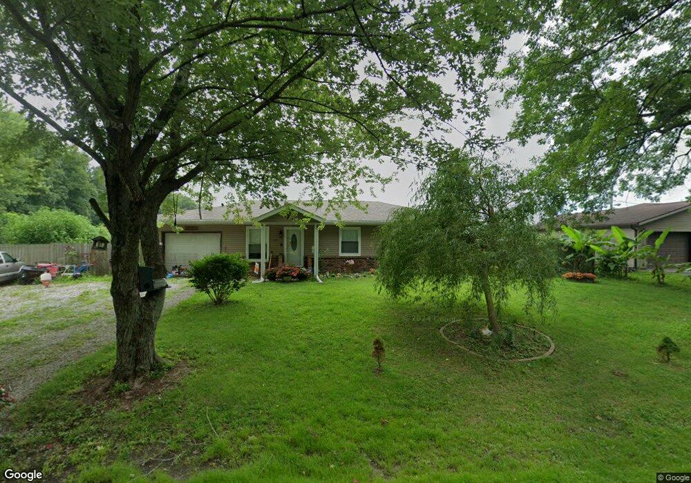
110 Shady Ln Westport, IN 47283
Estimated Value: $184,828 - $199,000
3
Beds
1
Bath
1,112
Sq Ft
$173/Sq Ft
Est. Value
About This Home
This home is located at 110 Shady Ln, Westport, IN 47283 and is currently estimated at $192,207, approximately $172 per square foot. 110 Shady Ln is a home located in Decatur County with nearby schools including South Decatur Elementary School and South Decatur Junior/Senior High School.
Ownership History
Date
Name
Owned For
Owner Type
Purchase Details
Closed on
Feb 21, 2020
Sold by
Snyder Steve and Snyder Amanda
Bought by
Wood Mandaline E and Wood Benjamin D
Current Estimated Value
Home Financials for this Owner
Home Financials are based on the most recent Mortgage that was taken out on this home.
Original Mortgage
$130,303
Outstanding Balance
$115,374
Interest Rate
3.6%
Mortgage Type
New Conventional
Estimated Equity
$76,833
Purchase Details
Closed on
Jul 31, 2018
Sold by
Sheriff
Bought by
Steve Snyder
Create a Home Valuation Report for This Property
The Home Valuation Report is an in-depth analysis detailing your home's value as well as a comparison with similar homes in the area
Home Values in the Area
Average Home Value in this Area
Purchase History
| Date | Buyer | Sale Price | Title Company |
|---|---|---|---|
| Wood Mandaline E | -- | None Available | |
| Steve Snyder | $58,300 | -- | |
| Fifth Third Mortgage Co | $58,301 | -- |
Source: Public Records
Mortgage History
| Date | Status | Borrower | Loan Amount |
|---|---|---|---|
| Open | Wood Mandaline E | $130,303 |
Source: Public Records
Tax History Compared to Growth
Tax History
| Year | Tax Paid | Tax Assessment Tax Assessment Total Assessment is a certain percentage of the fair market value that is determined by local assessors to be the total taxable value of land and additions on the property. | Land | Improvement |
|---|---|---|---|---|
| 2024 | $723 | $121,900 | $15,500 | $106,400 |
| 2023 | $661 | $113,200 | $15,500 | $97,700 |
| 2022 | $657 | $109,200 | $15,500 | $93,700 |
| 2021 | $625 | $95,500 | $15,500 | $80,000 |
| 2020 | $368 | $77,900 | $11,100 | $66,800 |
| 2019 | $1,356 | $67,800 | $11,100 | $56,700 |
| 2018 | $247 | $62,500 | $11,100 | $51,400 |
| 2017 | $235 | $62,700 | $11,100 | $51,600 |
| 2016 | $206 | $56,700 | $9,900 | $46,800 |
| 2014 | $191 | $53,900 | $9,900 | $44,000 |
| 2013 | $191 | $51,800 | $9,900 | $41,900 |
Source: Public Records
Map
Nearby Homes
- 503 E Bennett St
- 506 E North St
- 508 Deer Run
- 217 E Sycamore St
- 3852 W Co Road 1100 S
- 107 W Main St
- 0 W Co Rd 1100 S
- 1017 W Main St
- 3058 W Co Road 1100 S
- 11182 S Co Road 280 W
- 1816 W County Road 1000 S
- 6440 W County Road 1300 S
- 4281 W County Road 800 S
- 7962 S State Road 3
- 6838 S Mill St
- 6255 E County Road 850 N
- 28 W Co Road 700 S
- 7530 N Base Rd
- 4944 S County Road 240 W
- 5766 S Co Road 20 W