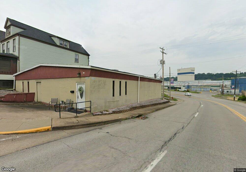
110 Sherman Ave Vandergrift, PA 15690
Estimated Value: $100,655 - $238,000
--
Bed
--
Bath
3,189
Sq Ft
$46/Sq Ft
Est. Value
About This Home
This home is located at 110 Sherman Ave, Vandergrift, PA 15690 and is currently estimated at $147,164, approximately $46 per square foot. 110 Sherman Ave is a home with nearby schools including Kiski Area High School.
Ownership History
Date
Name
Owned For
Owner Type
Purchase Details
Closed on
Aug 4, 2011
Sold by
Daviess Mauren M
Bought by
Martin David C and Martin Barbara S
Current Estimated Value
Purchase Details
Closed on
Apr 23, 2004
Sold by
Callipare Steven J and Callipare Lisa A
Bought by
Daviess Russell E and Daviess Maureen M
Purchase Details
Closed on
Jul 8, 2003
Sold by
Citizens General Enterprises Inc
Bought by
Callipare Steven J and Callipare Frank J
Create a Home Valuation Report for This Property
The Home Valuation Report is an in-depth analysis detailing your home's value as well as a comparison with similar homes in the area
Home Values in the Area
Average Home Value in this Area
Purchase History
| Date | Buyer | Sale Price | Title Company |
|---|---|---|---|
| Martin David C | $21,000 | None Available | |
| Daviess Russell E | $105,000 | -- | |
| Callipare Steven J | $5,000 | -- |
Source: Public Records
Tax History Compared to Growth
Tax History
| Year | Tax Paid | Tax Assessment Tax Assessment Total Assessment is a certain percentage of the fair market value that is determined by local assessors to be the total taxable value of land and additions on the property. | Land | Improvement |
|---|---|---|---|---|
| 2025 | $1,224 | $7,500 | $3,530 | $3,970 |
| 2024 | $2,839 | $24,420 | $3,530 | $20,890 |
| 2023 | $3,494 | $24,420 | $3,530 | $20,890 |
| 2022 | $3,421 | $24,420 | $3,530 | $20,890 |
| 2021 | $3,421 | $24,420 | $3,530 | $20,890 |
| 2020 | $3,413 | $24,420 | $3,530 | $20,890 |
| 2019 | $3,401 | $24,420 | $3,530 | $20,890 |
| 2018 | $3,352 | $24,420 | $3,530 | $20,890 |
| 2017 | $3,279 | $24,420 | $3,530 | $20,890 |
| 2016 | $3,234 | $24,420 | $3,530 | $20,890 |
| 2015 | $3,234 | $24,420 | $3,530 | $20,890 |
| 2014 | $3,219 | $24,420 | $3,530 | $20,890 |
Source: Public Records
Map
Nearby Homes
- 107 Sumner Ave
- 133 Sherman Ave
- 137 Sherman Ave
- 112 Farragut Ave Unit 3
- 1252 Jefferson St
- 154 Jefferson Ave Unit 6
- 121 Hamilton Ave
- 1116 Grant St
- 219 Quay St
- 129 Franklin Ave
- 404 1/2 Franklin Ave
- 325 -1/2 Quay St
- 419 Vandergrift Ln
- 311 Elm St
- 315 Spruce St
- 314 Linden St
- 608 Kennedy Ave
- 323 Sycamore St
- 716 Kennedy Ave
- 517 Sycamore St
- 104 Sumner Ave
- 106 Sumner Ave
- 108 Sumner Ave
- 111 Sherman Ave
- 110 Sumner Ave
- 112 Sumner Ave
- 105 Sumner Ave Unit 1
- 105 Sumner Ave
- 101 Sumner Ave
- 103 Sumner Ave
- 119 Sherman Ave
- 114 Sumner Ave
- 121 Sherman Ave
- 101 Sherman Ave
- 116 Sumner Ave
- 109 Sumner Ave
- 123 Sherman Ave
- 111 Sumner Ave
- 107 1/2 Sumner Ave
- 107 Washington Ave