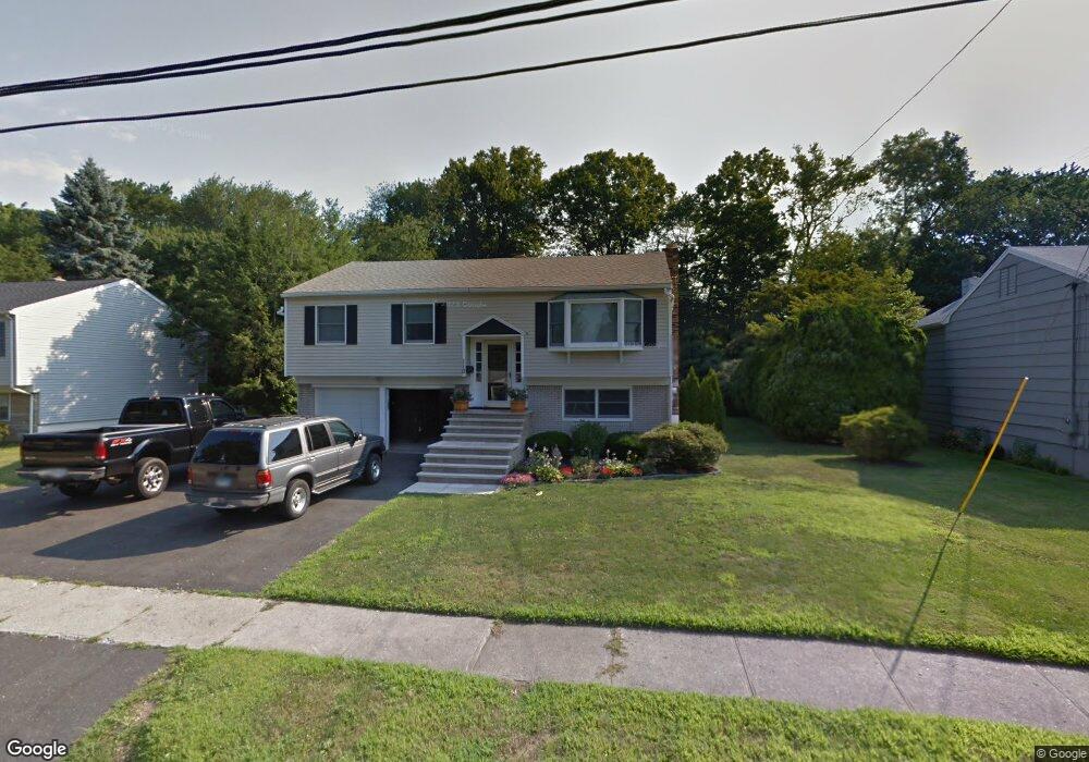
110 Sigwin Dr Fairfield, CT 06824
University NeighborhoodEstimated Value: $651,000 - $784,000
3
Beds
2
Baths
1,108
Sq Ft
$670/Sq Ft
Est. Value
About This Home
This home is located at 110 Sigwin Dr, Fairfield, CT 06824 and is currently estimated at $742,877, approximately $670 per square foot. 110 Sigwin Dr is a home located in Fairfield County with nearby schools including Holland Hill Elementary, Fairfield Woods Middle School, and Fairfield Ludlowe High School.
Ownership History
Date
Name
Owned For
Owner Type
Purchase Details
Closed on
Feb 11, 2011
Sold by
Deitz Deborah A
Bought by
Deitz Charles
Current Estimated Value
Purchase Details
Closed on
Jul 1, 2010
Sold by
Deitz Charles R
Bought by
Deitz Deborah
Create a Home Valuation Report for This Property
The Home Valuation Report is an in-depth analysis detailing your home's value as well as a comparison with similar homes in the area
Home Values in the Area
Average Home Value in this Area
Purchase History
| Date | Buyer | Sale Price | Title Company |
|---|---|---|---|
| Deitz Charles | $200,000 | -- | |
| Deitz Charles | $200,000 | -- | |
| Deitz Deborah | -- | -- | |
| Deitz Deborah | -- | -- |
Source: Public Records
Mortgage History
| Date | Status | Borrower | Loan Amount |
|---|---|---|---|
| Open | Deitz Deborah | $250,000 | |
| Previous Owner | Deitz Deborah | $54,000 |
Source: Public Records
Tax History
| Year | Tax Paid | Tax Assessment Tax Assessment Total Assessment is a certain percentage of the fair market value that is determined by local assessors to be the total taxable value of land and additions on the property. | Land | Improvement |
|---|---|---|---|---|
| 2025 | $9,811 | $345,590 | $257,110 | $88,480 |
| 2024 | $9,642 | $345,590 | $257,110 | $88,480 |
| 2023 | $9,507 | $345,590 | $257,110 | $88,480 |
| 2022 | $9,414 | $345,590 | $257,110 | $88,480 |
| 2021 | $9,324 | $345,590 | $257,110 | $88,480 |
| 2020 | $8,248 | $307,860 | $211,120 | $96,740 |
| 2019 | $8,248 | $307,860 | $211,120 | $96,740 |
| 2018 | $8,115 | $307,860 | $211,120 | $96,740 |
| 2017 | $7,949 | $307,860 | $211,120 | $96,740 |
| 2016 | $7,835 | $307,860 | $211,120 | $96,740 |
| 2015 | $7,732 | $311,920 | $222,320 | $89,600 |
| 2014 | $7,611 | $311,920 | $222,320 | $89,600 |
Source: Public Records
Map
Nearby Homes
- 68 Figlar Ave
- 378 High St
- 12 Reynolds Dr
- 274 High St
- 28 Country Rd
- 341 Crestwood Rd
- 42 Robin Cir
- 196 Robin Ln
- 41 Pepperbush Ln
- 240 Sunnyridge Ave Unit 63
- 245 Reid St
- 359 Reid St
- 1478 Jennings Rd
- 12 Sugar Plum Ln
- 1 Overlook Ave
- 652 Black Rock Turnpike
- 65 Benton St
- 21 Boroskey Rd
- 115 Mayfair Rd
- 214 York Rd
Your Personal Tour Guide
Ask me questions while you tour the home.