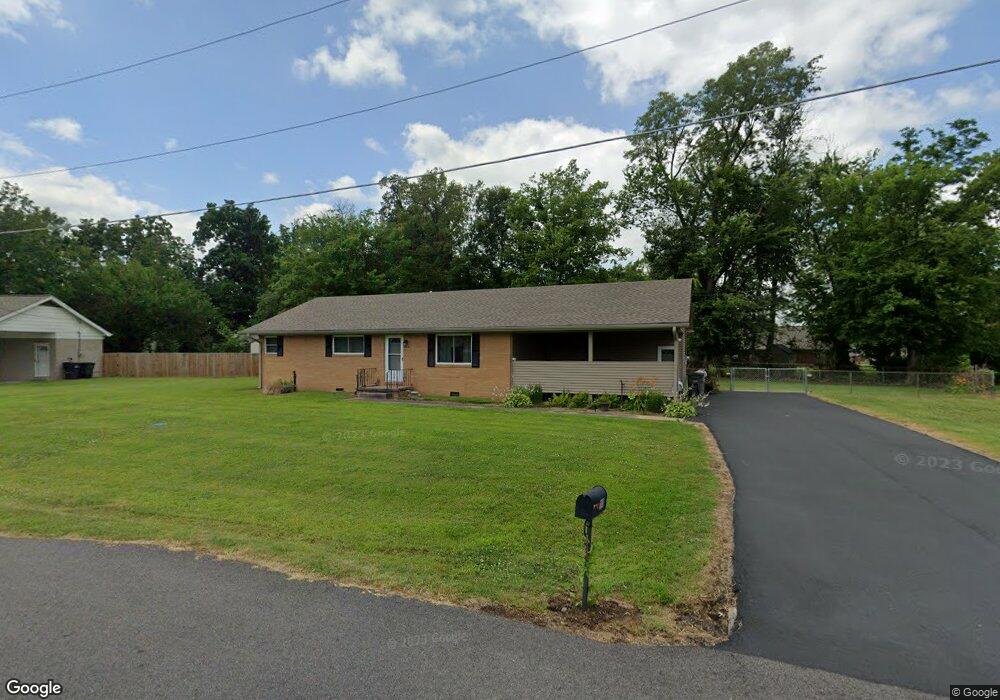
110 Susan Ln Paducah, KY 42003
Estimated Value: $202,000 - $281,000
3
Beds
2
Baths
1,512
Sq Ft
$154/Sq Ft
Est. Value
About This Home
This home is located at 110 Susan Ln, Paducah, KY 42003 and is currently estimated at $232,401, approximately $153 per square foot. 110 Susan Ln is a home located in McCracken County with nearby schools including Hendron Lone Oak Elementary School, Lone Oak Intermediate School, and Lone Oak Middle School.
Ownership History
Date
Name
Owned For
Owner Type
Purchase Details
Closed on
Aug 15, 2023
Sold by
Reynolds Marsha Kay
Bought by
Mannon William R and Mannon Rachel Nicole
Current Estimated Value
Home Financials for this Owner
Home Financials are based on the most recent Mortgage that was taken out on this home.
Original Mortgage
$173,992
Outstanding Balance
$170,027
Interest Rate
6.81%
Mortgage Type
FHA
Estimated Equity
$62,374
Purchase Details
Closed on
Mar 30, 2018
Sold by
Dexter Donna B
Bought by
Reynolds Marsha Kay
Create a Home Valuation Report for This Property
The Home Valuation Report is an in-depth analysis detailing your home's value as well as a comparison with similar homes in the area
Home Values in the Area
Average Home Value in this Area
Purchase History
| Date | Buyer | Sale Price | Title Company |
|---|---|---|---|
| Mannon William R | $180,000 | None Listed On Document | |
| Reynolds Marsha Kay | -- | Denton Law Firm Pllc |
Source: Public Records
Mortgage History
| Date | Status | Borrower | Loan Amount |
|---|---|---|---|
| Open | Mannon William R | $173,992 |
Source: Public Records
Tax History Compared to Growth
Tax History
| Year | Tax Paid | Tax Assessment Tax Assessment Total Assessment is a certain percentage of the fair market value that is determined by local assessors to be the total taxable value of land and additions on the property. | Land | Improvement |
|---|---|---|---|---|
| 2024 | $1,773 | $180,000 | $0 | $0 |
| 2023 | $1,055 | $155,900 | $0 | $0 |
| 2022 | $487 | $50,200 | $0 | $0 |
| 2021 | $487 | $50,200 | $0 | $0 |
| 2020 | $499 | $51,400 | $0 | $0 |
| 2019 | $494 | $51,400 | $0 | $0 |
| 2018 | $505 | $53,100 | $0 | $0 |
| 2017 | $833 | $90,700 | $0 | $0 |
| 2016 | $833 | $90,700 | $0 | $0 |
| 2015 | $636 | $83,600 | $0 | $0 |
| 2013 | $636 | $83,600 | $0 | $0 |
| 2012 | $636 | $83,600 | $0 | $0 |
Source: Public Records
Map
Nearby Homes
- 105 Milton Dr Unit A & B
- 321 Illinois St
- 395 Villa Ridge Dr
- 135 Ecco Ln Unit 139 Ecco Lane
- 331 Atlanta St
- 200 Wright Ave Unit 204 Wright Avenue
- 208 Wright Ave Unit 212 Wright Avenue
- 255 Seminole Dr
- 216 Mohawk Dr
- 109 Brookside Cove
- 3211 Oregon St
- 244 Iroquois Dr
- 335 Wildcat Trace
- 300 Vermont St
- 436 Columbus St
- 395 Wildcat Trace
- 150 N Concord Ave
- 76 Spring Valley Cove
- 157 N Concord Ave
- 501 Leeds Dr