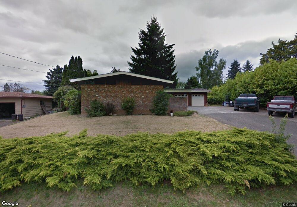
110 SW Newton Dr Unit 1 Winston, OR 97496
Estimated Value: $290,000 - $320,000
3
Beds
2
Baths
1,402
Sq Ft
$220/Sq Ft
Est. Value
About This Home
This home is located at 110 SW Newton Dr Unit 1, Winston, OR 97496 and is currently estimated at $307,886, approximately $219 per square foot. 110 SW Newton Dr Unit 1 is a home located in Douglas County with nearby schools including Douglas High School.
Ownership History
Date
Name
Owned For
Owner Type
Purchase Details
Closed on
Mar 21, 2017
Sold by
Reymann Raleigh
Bought by
Maldonado Andrew P and Maldonado Morgan M
Current Estimated Value
Home Financials for this Owner
Home Financials are based on the most recent Mortgage that was taken out on this home.
Original Mortgage
$151,515
Interest Rate
4.1%
Mortgage Type
New Conventional
Purchase Details
Closed on
Aug 2, 2013
Sold by
Reymann Raleigh and Reymann Ronnie
Bought by
Reymann Raleigh
Purchase Details
Closed on
Apr 27, 2012
Sold by
Langdon Susan
Bought by
Reymann Raleigh and Reymann Ronnie
Purchase Details
Closed on
Aug 31, 2004
Sold by
Layton Vestie V and Baker Marjorie J
Bought by
Langdon Susan
Create a Home Valuation Report for This Property
The Home Valuation Report is an in-depth analysis detailing your home's value as well as a comparison with similar homes in the area
Home Values in the Area
Average Home Value in this Area
Purchase History
| Date | Buyer | Sale Price | Title Company |
|---|---|---|---|
| Maldonado Andrew P | $150,000 | First American | |
| Reymann Raleigh | -- | None Available | |
| Reymann Raleigh | -- | None Available | |
| Langdon Susan | $147,000 | Amerititle Inc |
Source: Public Records
Mortgage History
| Date | Status | Borrower | Loan Amount |
|---|---|---|---|
| Previous Owner | Maldonado Andrew P | $151,515 |
Source: Public Records
Tax History Compared to Growth
Tax History
| Year | Tax Paid | Tax Assessment Tax Assessment Total Assessment is a certain percentage of the fair market value that is determined by local assessors to be the total taxable value of land and additions on the property. | Land | Improvement |
|---|---|---|---|---|
| 2025 | $4,385 | $192,231 | -- | -- |
| 2024 | $3,746 | $186,633 | -- | -- |
| 2023 | $3,017 | $181,198 | $0 | $0 |
| 2022 | $3,602 | $175,921 | $0 | $0 |
| 2021 | $2,848 | $170,798 | $0 | $0 |
| 2020 | $2,766 | $165,824 | $0 | $0 |
| 2019 | $2,700 | $160,995 | $0 | $0 |
| 2018 | $2,628 | $156,306 | $0 | $0 |
| 2017 | $2,559 | $151,754 | $0 | $0 |
| 2016 | $3,102 | $147,334 | $0 | $0 |
| 2015 | $2,375 | $143,043 | $0 | $0 |
| 2014 | $2,303 | $138,877 | $0 | $0 |
| 2013 | -- | $133,413 | $0 | $0 |
Source: Public Records
Map
Nearby Homes
- 260 SW Ford Ave
- 0 SW Main St
- 301 NW Midway St
- 68 NW Rose St
- 120 SE Edwards Ave
- 0 SE Gregory Dr
- 308 NW Civil Bend Ave
- 841 NW Lori St
- 364 NW Teal St
- 0 NW Galaxy Dr
- 151 Sherry St
- 210 NW Timothy Ave
- 350 SE Park St
- 110 SE Darrell Ave
- 90 SE Darrell Ave
- 310 NW Lost Ln
- 173 NE Main St
- 271 SE Robinson St
- 80 NW Lost Ln
- 222 NW Broc Dr
- 110 SW Newton Dr
- 141 SW Civil Bend Ave
- 90 SW Newton Dr
- 130 SW Newton Dr
- 131 SW Civil Bend Ave
- 151 SW Civil Bend Ave
- 111 SW Newton Dr
- 80 SW Newton Dr
- 150 SW Newton Dr
- 121 SW Newton Dr
- 91 SW Newton Dr
- 111 SW Civil Bend Ave
- 71 SW Newton Dr
- 131 SW Newton Dr
- 60 SW Newton Dr
- 170 SW Newton Dr
- 91 SW Civil Bend Ave
- 51 SW Newton Dr
- 40 SW Newton Dr
- 150 SW Brantley Dr