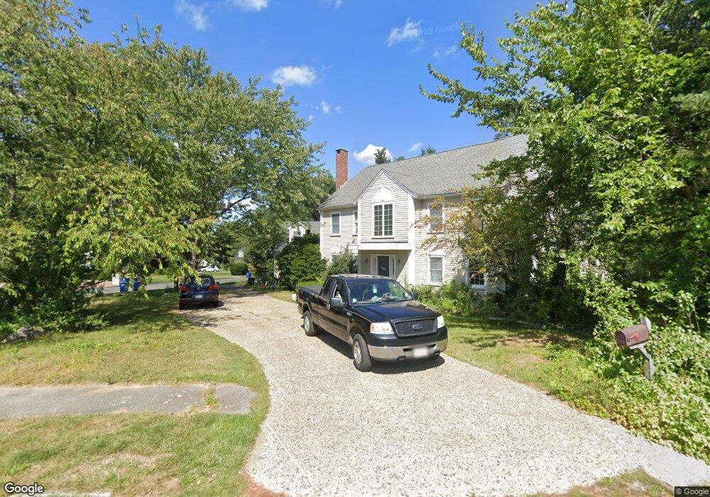
110 Sycamore Rd Braintree, MA 02184
South Braintree NeighborhoodEstimated Value: $1,381,000 - $1,851,000
5
Beds
4
Baths
5,484
Sq Ft
$291/Sq Ft
Est. Value
About This Home
This home is located at 110 Sycamore Rd, Braintree, MA 02184 and is currently estimated at $1,593,215, approximately $290 per square foot. 110 Sycamore Rd is a home located in Norfolk County with nearby schools including Braintree High School, First Baptist Christian School, and Thayer Academy.
Ownership History
Date
Name
Owned For
Owner Type
Purchase Details
Closed on
Sep 13, 1996
Sold by
Norfolk Holdings Corp
Bought by
Lind Stephen W and Lind Mary K
Current Estimated Value
Home Financials for this Owner
Home Financials are based on the most recent Mortgage that was taken out on this home.
Original Mortgage
$207,000
Interest Rate
8.18%
Mortgage Type
Purchase Money Mortgage
Purchase Details
Closed on
Mar 7, 1996
Sold by
Rowan William T Est
Bought by
Norfolk Holdings Corp
Purchase Details
Closed on
Jul 2, 1993
Sold by
Rowan William T Est
Bought by
Rowan William T
Create a Home Valuation Report for This Property
The Home Valuation Report is an in-depth analysis detailing your home's value as well as a comparison with similar homes in the area
Home Values in the Area
Average Home Value in this Area
Purchase History
| Date | Buyer | Sale Price | Title Company |
|---|---|---|---|
| Lind Stephen W | $410,000 | -- | |
| Norfolk Holdings Corp | $315,000 | -- | |
| Norfolk Holdings Corp | $315,000 | -- | |
| Rowan William T | $95,000 | -- | |
| Rowan William T | $95,000 | -- |
Source: Public Records
Mortgage History
| Date | Status | Borrower | Loan Amount |
|---|---|---|---|
| Open | Rowan William T | $207,000 | |
| Closed | Rowan William T | $207,000 |
Source: Public Records
Tax History Compared to Growth
Tax History
| Year | Tax Paid | Tax Assessment Tax Assessment Total Assessment is a certain percentage of the fair market value that is determined by local assessors to be the total taxable value of land and additions on the property. | Land | Improvement |
|---|---|---|---|---|
| 2025 | $13,249 | $1,327,600 | $387,600 | $940,000 |
| 2024 | $12,133 | $1,279,800 | $350,100 | $929,700 |
| 2023 | $11,508 | $1,179,100 | $300,100 | $879,000 |
| 2022 | $11,483 | $1,154,100 | $275,100 | $879,000 |
| 2021 | $10,980 | $1,103,500 | $275,100 | $828,400 |
| 2020 | $10,881 | $1,103,500 | $275,100 | $828,400 |
| 2019 | $10,425 | $1,033,200 | $275,100 | $758,100 |
| 2018 | $10,298 | $977,000 | $250,100 | $726,900 |
| 2017 | $10,025 | $933,400 | $237,600 | $695,800 |
| 2016 | $9,654 | $879,200 | $225,100 | $654,100 |
| 2015 | $9,390 | $848,200 | $220,100 | $628,100 |
| 2014 | $9,166 | $802,600 | $212,600 | $590,000 |
Source: Public Records
Map
Nearby Homes
- 30 Thetford Ave
- 441 Grove St
- 432 Grove St
- 972 Liberty St
- 117 Amherst Rd
- 256 Evergreen Ave
- 30 Bradford Commons Ln
- 501 Commerce Dr Unit 2310
- 501 Commerce Dr Unit 1111
- 501 Commerce Dr Unit 4206
- 501 Commerce Dr Unit 4308
- 501 Commerce Dr Unit 4306
- 262 West St
- 255 West St
- 308 Forest St
- 134 Tyson Commons Ln
- 92 Mercury St
- 68 Massapoag St Unit 7
- 16 Jay Rd
- 115 Richard Rd
- 90 Thetford Ave
- 130 Sycamore Rd
- 111 Sycamore Rd
- 100 Sycamore Rd
- 121 Sycamore Rd
- 71 Thetford Ave
- 101 Sycamore Rd
- 125 Sycamore Rd
- 80 Thetford Ave
- 126 Sycamore Rd
- 131 Sycamore Rd
- 61 Thetford Ave
- 91 Sycamore Rd
- 56 Birch St
- 90 Sycamore Rd
- 70 Thetford Ave
- 70 Birch St
- 41 Otoole Terrace
- 86 Birch St
- 50 Birch St